
Bogue Banks
Most barrier islands stretch north and south, parallel to the coast they protect. Bogue Banks defies that geometry. The 21-mile island runs east to west, its ocean beaches facing due south, an orientation that makes it possible to watch sunrise and sunset from the same patch of sand. The Italian navigator Giovanni da Verrazzano, sailing in the service of France, became the first recorded European to touch this coast when he reached it in 1524, and a historic marker at Mile Marker 7 commemorates the spot.
Squatters and Sea Birds
The decline of whaling in the mid-19th century pushed settlers from Cape Lookout's Diamond City westward into Bogue Banks. They built without deeds, fished for mullet that ran close to the shoreline, and wore a track from sound to ocean that passed in front of the Salter family's house. The path got a name, then the community did: Salter Path. In 1910, a Bostonian named John A. Royall bought 8,000 acres on the island. He gave the squatter families deeds where they had structures. Then, in 1917, he sold 2,000 acres to Alice Green Hoffman, whose niece Eleanor Butler Alexander later married Theodore Roosevelt Jr. Hoffman immediately sued the Salter Path residents because their cows kept wandering onto her estate. The court ruled the people could stay, but the cows could not graze on Hoffman land. Salter Path got its 81 acres collectively, with no individual titles. That ruling held until 1979, when a legal settlement finally let residents hold title to their own homes and let Carteret County collect taxes.
Coues at Fort Macon
Elliott Coues spent two years on Bogue Banks from 1869 to 1870 as a US Army surgeon at Fort Macon. He was already on his way to becoming one of America's leading ornithologists, and the assignment turned out to be a gift. He studied the sea birds, marsh birds, and shore birds nesting on the dunes, noted lynx and mink in the maritime forest, and described what he saw as a coastal world scarcely touched by commercial fishing, much less by the tourism and real-estate development that would come later. His Bogue Banks essays became foundational texts in American natural history. Today Fort Macon State Park, with some of the highest sand dunes on the East Coast, is one of North Carolina's most-visited state parks.
Five Communities and One Highway
NC-58 runs the length of the island, threading together its five main communities: Atlantic Beach on the eastern end, then Pine Knoll Shores, then the unincorporated Salter Path in the middle, then Indian Beach, then Emerald Isle on the western end. Two bridges connect the island to the mainland. The eastern one carries traffic from Morehead City into Atlantic Beach and is the busier route. The western bridge runs from Cape Carteret to Emerald Isle. There is no third option. Mile markers along NC-58 every half mile give locals their navigation system. Stores and commercial buildings cluster in the five communities; the spaces between are houses, rentals, and maritime forest of live oak, yaupon, and red cedar.
The Roosevelt Forest and the Aquarium
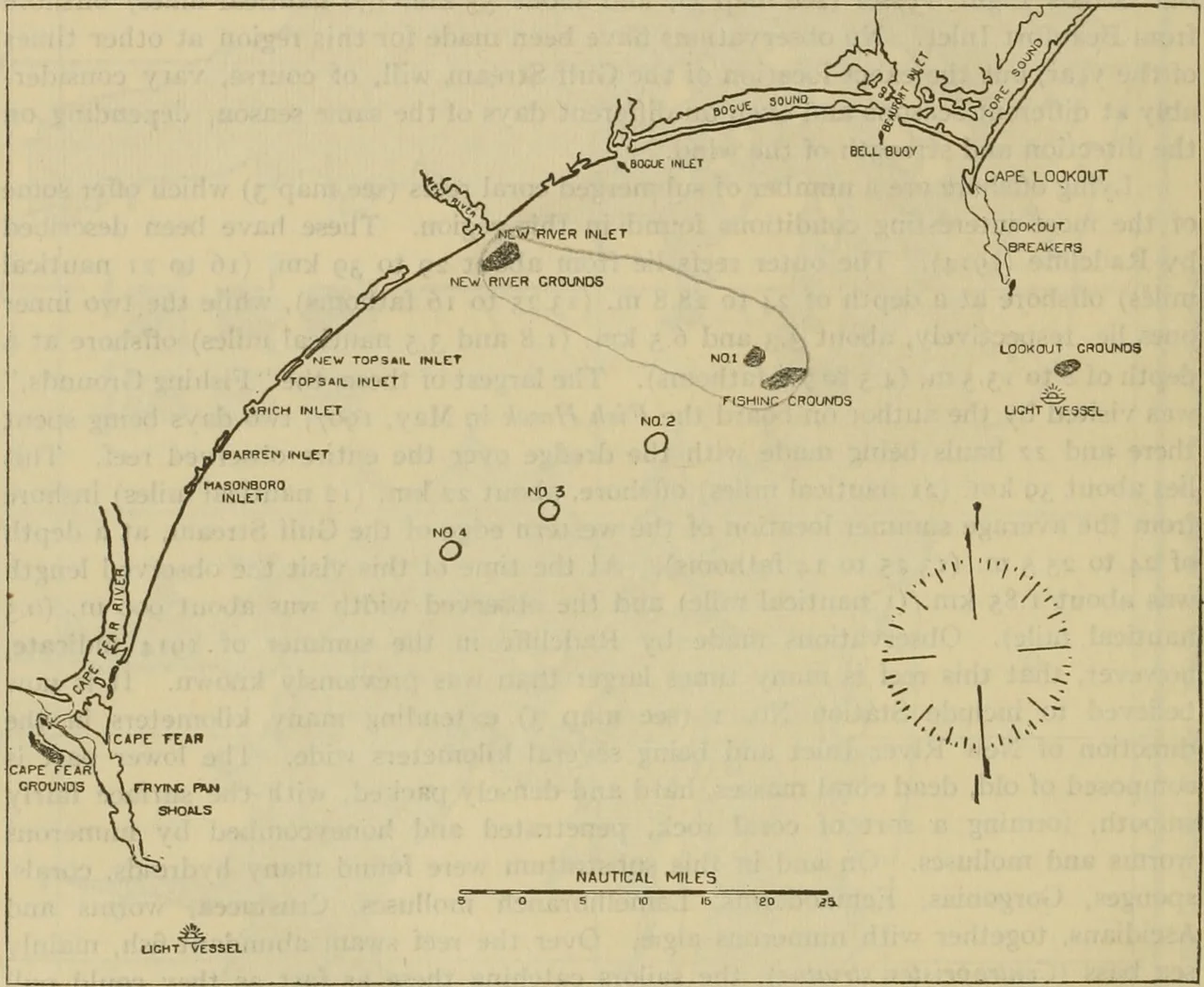
Surrounding the North Carolina Aquarium at Pine Knoll Shores is the Theodore Roosevelt Natural Area, 265 acres of state-protected maritime forest, one of the few of its kind left on the state's barrier islands. The aquarium itself is one of three operated by North Carolina and offers exhibits on aquatic life from the mountains to the ocean, with live dives in a Living Shipwreck exhibit. To the north lies Bogue Sound, part of the Intracoastal Waterway. To the south, Onslow Bay. To the east, Beaufort Inlet. To the west, Bogue Inlet. The island sits embraced by water on every compass point, and that's the geography that has shaped everything else: the whaling, the squatters, the cows, the cottages, the dunes.
From the Air
Bogue Banks runs east-west from roughly 34.69 N 77.07 W (Bogue Inlet) to 34.70 N 76.68 W (Beaufort Inlet), a 21-mile barrier island. Best viewed from 2,500-5,000 feet to capture the unusual east-west orientation, the contrast between ocean and Bogue Sound, and the maritime forest at the center. Communities run east to west: Atlantic Beach, Pine Knoll Shores, Salter Path, Indian Beach, Emerald Isle. Nearest airports: KMRH (Beaufort/Michael J. Smith Field) at the east end, KNKT (MCAS Cherry Point) 18nm north. Watch for restricted airspace near Cherry Point and military traffic along the coast.
Nearby Stories
- Lejeune High School 1.3 km away
- Jones County, North Carolina 4.1 km away
- Arapahoe, North Carolina 5.2 km away
- Portsmouth, North Carolina 23 km away
- Topsail Beach, North Carolina 28 km away
- HMT Bedfordshire 34 km away
- Ocracoke, North Carolina 53 km away
- Mercury-Redstone 4 771 km away