Brawley, California
On July 1, 1950, the temperature in Brawley reached 122 degrees Fahrenheit. That reading still stands as one of the highest reliably recorded temperatures in California history. And then there was January 1, 1919, when the thermometer dropped to 4 degrees — a cold snap that must have seemed implausible in a city that averages fewer than 3 inches of rain per year and bakes through 177 afternoons above 90 degrees every single year. Brawley is a city of extremes, in a valley built on the principle that extremes can be survived and, eventually, turned to advantage.
The Numbers of the Desert
The climate statistics for Brawley are not just interesting — they are defining. Fewer than 2.38 inches of precipitation fall annually, placing the city among the driest in the continental United States. Summer heat is not a seasonal inconvenience but a structural feature of life: nearly five months of the year bring daily high temperatures above 90 degrees, with July and August regularly pushing above 110. The city sits below sea level in the trough of the Imperial Valley, where geography amplifies already formidable desert heat. What allows Brawley to exist — what allowed it to become a city of more than 26,000 people — is the same Colorado River water that feeds the entire valley's agriculture. Without irrigation, Brawley is desert.
Agricultural Heart of the Valley
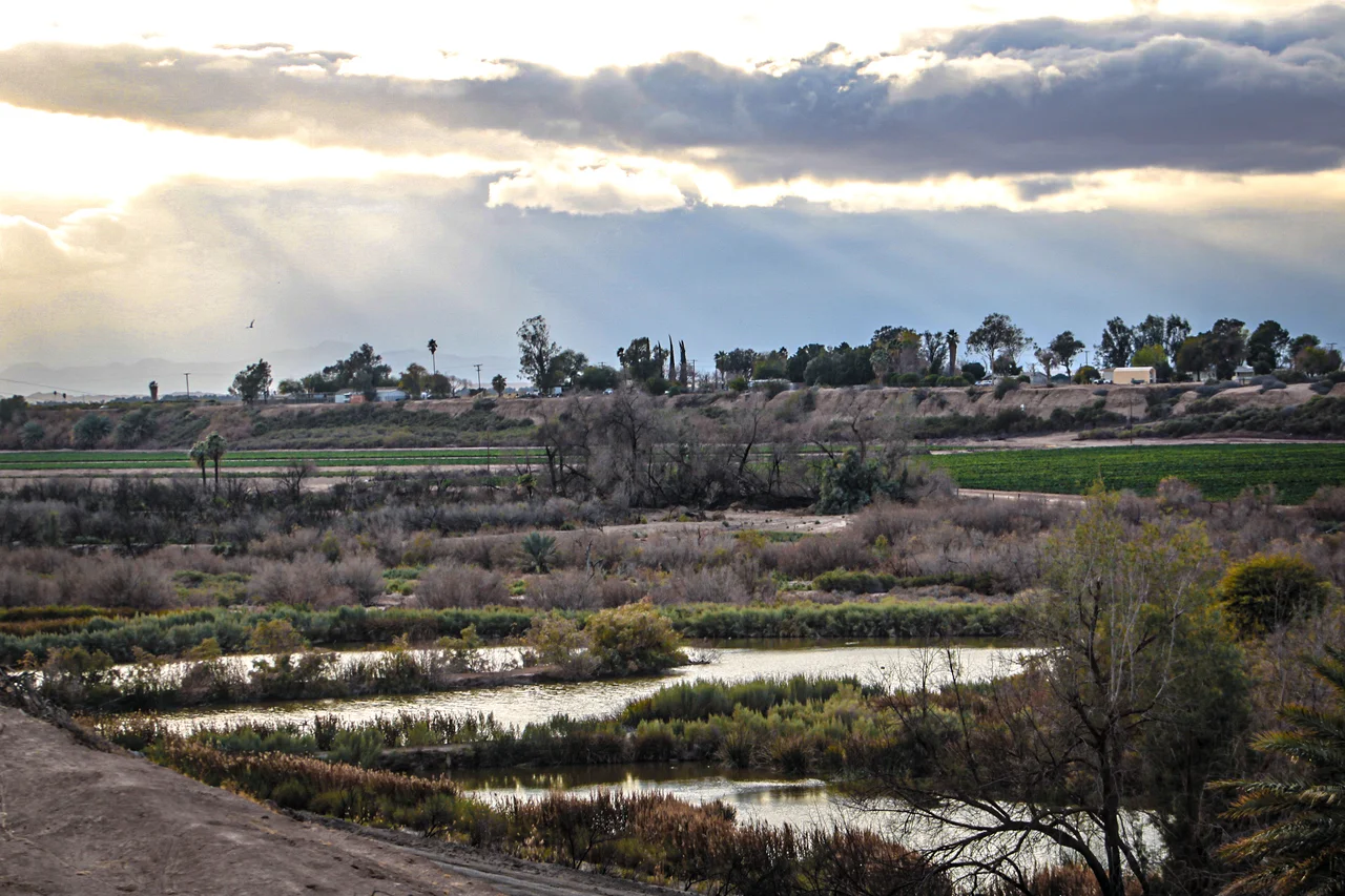
Brawley is the Imperial Valley's second-largest city, positioned between the Salton Sea to the north and the Mexican border to the south, surrounded by fields that produce vegetables, alfalfa, and cattle year-round. The livestock industry is particularly prominent: feedlots outside the city hold cattle at various stages of the feeding process, contributing a distinctive presence to the air on warm days. The National Date Festival held in neighboring Indio draws visitors to the Coachella Valley, but Brawley anchors a different agricultural identity — one based on the crops that emerge from some of the most intensively irrigated farmland in the world. The city's economy moves with the harvest cycles, and its workforce reflects generations of agricultural labor.
Famous Brawleyans
Three people from Brawley left particularly distinctive marks. Helen Fabela Chávez grew up here before marrying César Chávez and becoming a central figure in the United Farm Workers movement, devoting decades to the same agricultural communities that defined the Imperial Valley. She was at her husband's side through the strikes, boycotts, and negotiations that transformed American labor law for farmworkers. On a completely different note, Brianna and Nicole Garcia — better known as Brie Bella and Nikki Bella — were born in Brawley before becoming professional wrestlers and entertainers whose careers made them among the most recognized athletes in WWE history. And Sergio Romo, born in Brawley, pitched in Major League Baseball for more than a decade, winning three World Series rings with the San Francisco Giants.
Living Below Sea Level
Most of Brawley sits below sea level — a geographic curiosity that is easy to overlook when the landscape appears flat and the buildings look like any other small California city. The subsidence that characterizes the valley floor, combined with the ongoing extraction of groundwater for agriculture, means parts of the valley have been sinking gradually for decades. The Salton Sea, visible to the north, is itself a below-sea-level body of water created by an irrigation canal break in 1905 that flooded the valley for two years. Brawley persists in this environment not by ignoring its extremes but by organizing life around them — the early morning work hours before the heat peaks, the community infrastructure built for a desert climate, the seasonal rhythms that have defined valley life for more than a century.
From the Air
Brawley sits at approximately 112 feet below sea level at 32.979°N, 115.530°W in the northern Imperial Valley, about 10 miles south of the Salton Sea. From altitude, the city is visible at the edge of the Salton Sea's southern shore, with agricultural fields extending in all directions and the distinctive feedlot operations visible just outside city limits. The Salton Sea itself is a striking visual landmark — a large inland body of water in the middle of the desert. Nearest airports include Imperial County Airport (KIPL) about 8 miles south. The valley's flat terrain provides excellent visibility; summer heat haze can reduce it somewhat at low altitudes.
Nearby Stories
- Camp Salvation 2.9 km away
- Niland, California 3.4 km away
- Cooke's Wells Station 4.3 km away
- Carrizo Impact Area 5 km away
- Desert View Tower 8.8 km away
- Thomas L. "Pegleg" Smith 28 km away
- Old Plank Road 29 km away
- Poston War Relocation Center 100 km away