_16.jpg)
Brunswick County, North Carolina
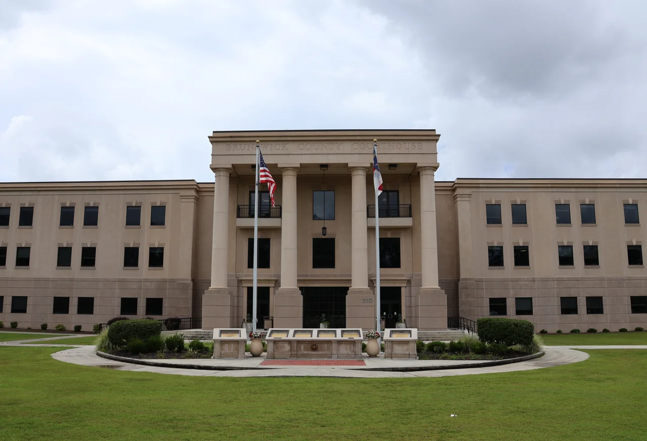
Bolivia is the county seat, and roughly 150 people live there. That fact tells you almost everything about Brunswick County's strange geometry. The political center is barely a village, while the real action happens along the rim, where the Cape Fear River pours into the Atlantic and barrier islands curl southward into Long Bay. Between 2020 and 2023 this was the fastest-growing county in North Carolina, with the highest median age in the state. Retirees keep arriving, beach communities keep expanding, and the place is somehow still finding room.
Formed from Bladen, Shaped by Water
The General Assembly carved Brunswick County out of Bladen and New Hanover in 1764, just over a decade before the Revolution would gut the original Brunswick Town. After the war, the southern end of the county filled in around a new settlement called Smithville, incorporated in 1805 and renamed Southport in 1887. It is the fourth-largest county in North Carolina by total area, but most of that area is water-adjacent. The Brunswick River, the Cape Fear River, Lockwood Folly, the Shallotte, the Waccamaw, and the Intracoastal Waterway all braid through the county. Frying Pan Shoals reaches out from Cape Fear itself, the same long sandbar that scared sailing ships into hugging the coast for centuries.
Plantations and the People Who Worked Them
By 1860, more than 44 percent of Brunswick County's population were enslaved people, forced to produce naval stores, corn, cotton, and rice on plantations that lined the rivers. Their labor built the economy that the Confederacy then tried to defend with Fort Anderson, erected near the ruins of Brunswick Town to hold off federal attacks up the Cape Fear. The town of Navassa, in the county's northeast corner, remains a historically Gullah community. Descendants no longer speak the language, but the surnames and the place names carry the history. This is not background detail. It is the foundation under everything that followed.
Barrier Islands and a Reactor
Beach development arrived in the 1930s and accelerated after the war. Between 1955 and 1975, six communities on the barrier islands incorporated themselves: Holden Beach, Ocean Isle, Sunset Beach, Caswell Beach, Long Beach, and Yaupon Beach. Bald Head Island, the southernmost point in North Carolina, became reachable only by ferry from Southport and stayed that way, with golf carts replacing cars. North of Southport, the Brunswick Nuclear Generating Station opened its first reactor in 1975 and its second in 1977, drawing cooling water from the Cape Fear and discharging it into the Atlantic. It remains the only place in North Carolina where a nuclear plant sits within sight of barrier-island vacation rentals.
Calabash and the Smell of Fried Seafood
On the South Carolina border sits Calabash, a town with maybe a few hundred residents and a national reputation. Calabash-style fried seafood, lightly breaded and quickly fried, became a regional signature in the mid-twentieth century, and the restaurants here still draw bus tours from across the Carolinas. Up the coast, the proximity to Cinespace Wilmington has turned Brunswick County into a working film set. Dawson's Creek, Safe Haven, I Know What You Did Last Summer, and dozens of other productions used Southport, Bald Head Island, and the smaller waterfront towns as backdrops. The county sells both fried shrimp and movie magic, often in the same afternoon.
The Newcomers' County
Between 2020 and 2023, Brunswick County grew 15.8 percent, the highest rate among North Carolina's 100 counties. Most of the new arrivals are retirees, drawn by the warm climate, the beaches, and prices still below Florida or coastal South Carolina. The median age has climbed to the highest in the state. Leland, just across the Brunswick River from Wilmington, is now the county's largest community, though tiny Bolivia keeps the courthouse. In 2024, the county voted Republican for state offices but backed a Democratic gubernatorial candidate for the first time since 2004. The newcomers are bringing different politics with them, and the longtime residents are noticing.
From the Air
Brunswick County spans roughly 34.04 degrees N, 78.22 degrees W, covering southeastern North Carolina's Cape Fear corner. Cruising the coast at 4,500 feet, look for the dark cooling canal of the Brunswick Nuclear plant north of Southport, the long sweep of Oak Island's beach, and Bald Head Island's maritime forest at the river mouth. Cape Fear Regional Jetport (KSUT) at Oak Island serves general aviation; Wilmington International (KILM) lies 20 miles northeast. Frying Pan Shoals extends nearly 30 miles offshore from Cape Fear and is a known hazard for low-altitude IFR approaches.
Nearby Stories
- Topsail Beach, North Carolina 12 km away
- Tabor City, North Carolina 19 km away
- Lake Waccamaw, North Carolina 27 km away
- Huntington Beach State Park 39 km away
- Lumberton, North Carolina 46 km away
- Topsail Island 55 km away
- Atalaya Castle 83 km away
- Mercury-Redstone 4 715 km away