
Ca Mau
The name is not Vietnamese. Cà Mau comes from the Khmer Tưk Khmau — black water — and one look at the rivers explains it. The channels that thread this city run dark as strong coffee, stained by the peat swamps upstream and the tannins leaching out of decayed melaleuca. Khmer speakers were describing this landscape long before Vietnamese settlers pushed down into it roughly three centuries ago, and the descendants of those Khmer communities, the Khmer Krom, still live here alongside ethnic Vietnamese and Hoa families. The city kept the older name because nobody could improve on it.
A City That Runs on Water
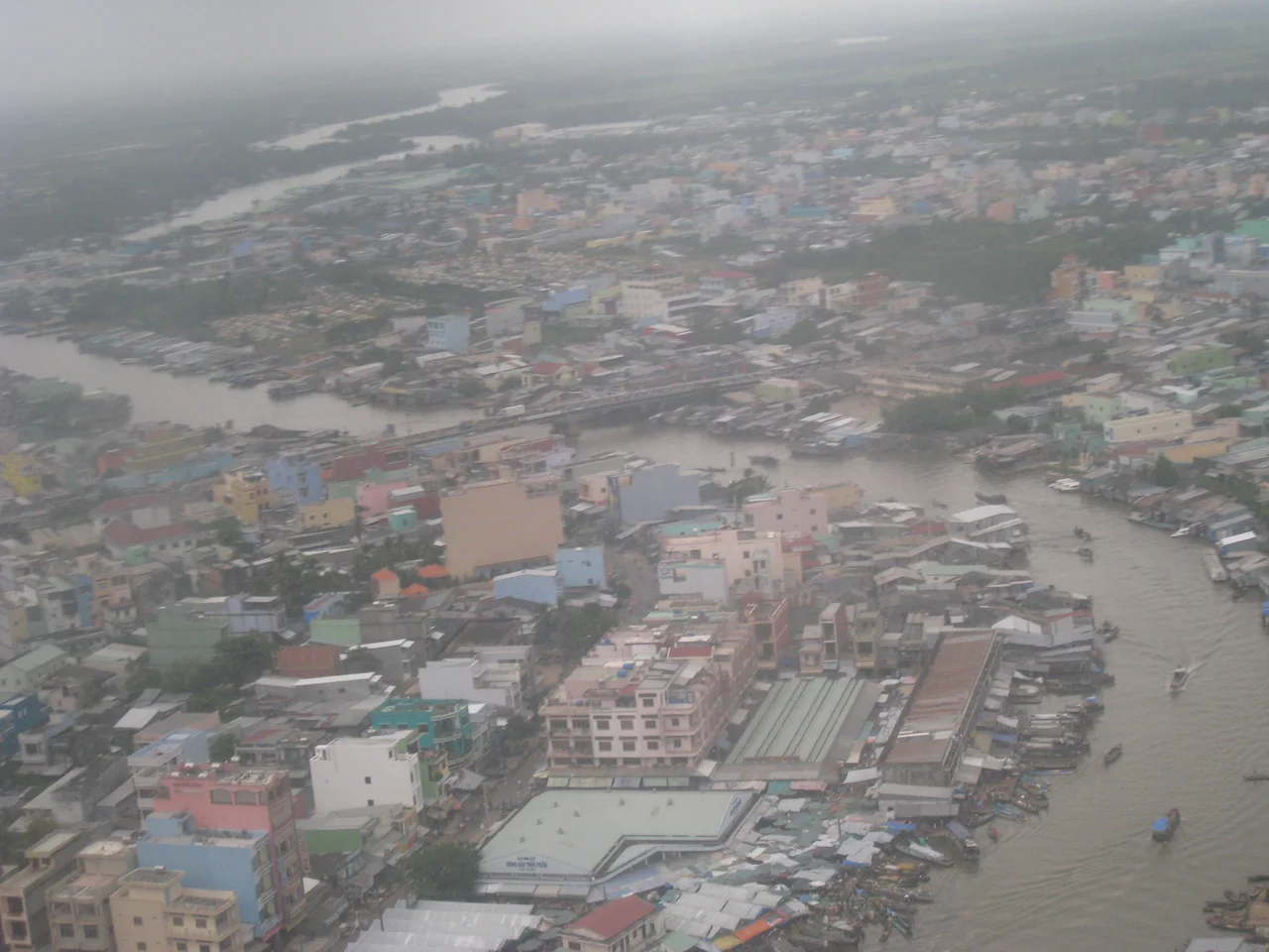
Cà Mau is a road town only in the most technical sense. Its real infrastructure is the canal grid — a dense web of cut waterways carrying most of the region's freight in barges and shallow-draft boats, because in country this flat and this wet, moving a tonne of rice or shrimp on water has always been cheaper than moving it on wheels. Markets, warehouses and boatyards line the banks. Houses stand on piles with a set of steps running straight down to the current. The city core is compact enough to walk end to end, but the economy it serves reaches out along channels for a hundred kilometres in every direction.
Shrimp, Gas and the Far South
Cà Mau province holds around 77 per cent of the Mekong Delta's remaining mangrove forest, and it has built its economy at the point where that forest meets the tide. Shrimp is the engine: raised in brackish ponds across thousands of square kilometres of the peninsula, processed in the city's plants, exported by the container-load. Offshore gas from the Gulf of Thailand feeds power generation and fertilizer production inland. Rice still occupies the fresher-water districts. Almost all of it is vulnerable to the same thing — the province averages between half a metre and a metre and a half above sea level, and the ground is subsiding.
Thousands of Birds Downtown
Somewhere near the centre of most cities you would expect a park with benches. Cà Mau has one with an aviary population that arrives and departs on its own schedule: the 19/5 cultural park, still widely called Lâm Viên, where thousands of waterbirds roost in the trees and commute out to the surrounding wetlands each day. The noise at dusk is considerable. It is an unusual amenity for a city of roughly 259,000 people, and it makes a point that the surrounding landscape keeps making — that in the far south of Vietnam, the boundary between settlement and swamp is negotiable and frequently ignored by the wildlife.
Getting Here Is Half the Story
The city sits about 350 kilometres southwest of Ho Chi Minh City on National Road 1A, which is a long day by sleeper bus and a very long one by hydrofoil from Rạch Giá. Flying is quicker. Cà Mau Airport, seven feet above sea level with a single 1,500-metre runway, began life as a French colonial airstrip and was rebuilt in 1962 as Quan Long Airport before civil service resumed in the 1990s. Today it handles a modest turboprop schedule to Tân Sơn Nhất. Whichever way you come, you notice the same thing on the last stretch: the horizon stops having anything on it.
The End of the Road
Cà Mau is the southernmost city on mainland Vietnam, and everything past it is a matter of degrees of wetness. U Minh Hạ National Park lies a short drive northwest, protecting peat swamp forest. Ninety kilometres south, at Đất Mũi, Cape Cà Mau National Park marks the actual tip of the country, reachable by boat or by a road that was finally pushed all the way through in recent years. On 12 June 2025 the National Assembly folded Bạc Liêu province into Cà Mau and abolished district-level units across Vietnam, so the city ceased to exist as its own administrative tier from 1 July. It remains the provincial seat, and the province it now heads is larger than before — the southern anchor of the delta, with 2.6 million people and a coastline on two seas.
From the Air
Cà Mau lies at 9.1833°N, 105.15°E, with Cà Mau Airport (VVCM/CAH) on the city's edge — runway 09/27, 1,500 m of asphalt, field elevation 7 ft. There is no terrain anywhere on the peninsula, so approaches are unobstructed in every direction, and the visual picture from 2,000–5,000 ft is unmistakable: a dense knot of dark canals radiating from the city into a checkerboard of shrimp ponds, with the Gulf of Thailand about 40 km west and the East Sea about 45 km east. Đất Mũi, the country's southern tip, sits 90 km south-southwest. Rạch Giá (VVRG) and Cần Thơ (VVCT) are the nearest alternates. Expect 2,360 mm of annual rainfall concentrated in the May–November monsoon, with strong convective activity in the afternoons and generally excellent visibility from December to April.
Nearby Stories
- Đầm Dơi 5.7 km away
- Sóc Trăng Airfield 18 km away
- U Minh Thượng National Park 25 km away
- Sóc Trăng 49 km away
- Con Son Island 90 km away
- An Thoi Naval Base 101 km away
- Phú Quốc Prison 122 km away
- Japanese destroyer Shigure (1935) 346 km away