Cadiz, California
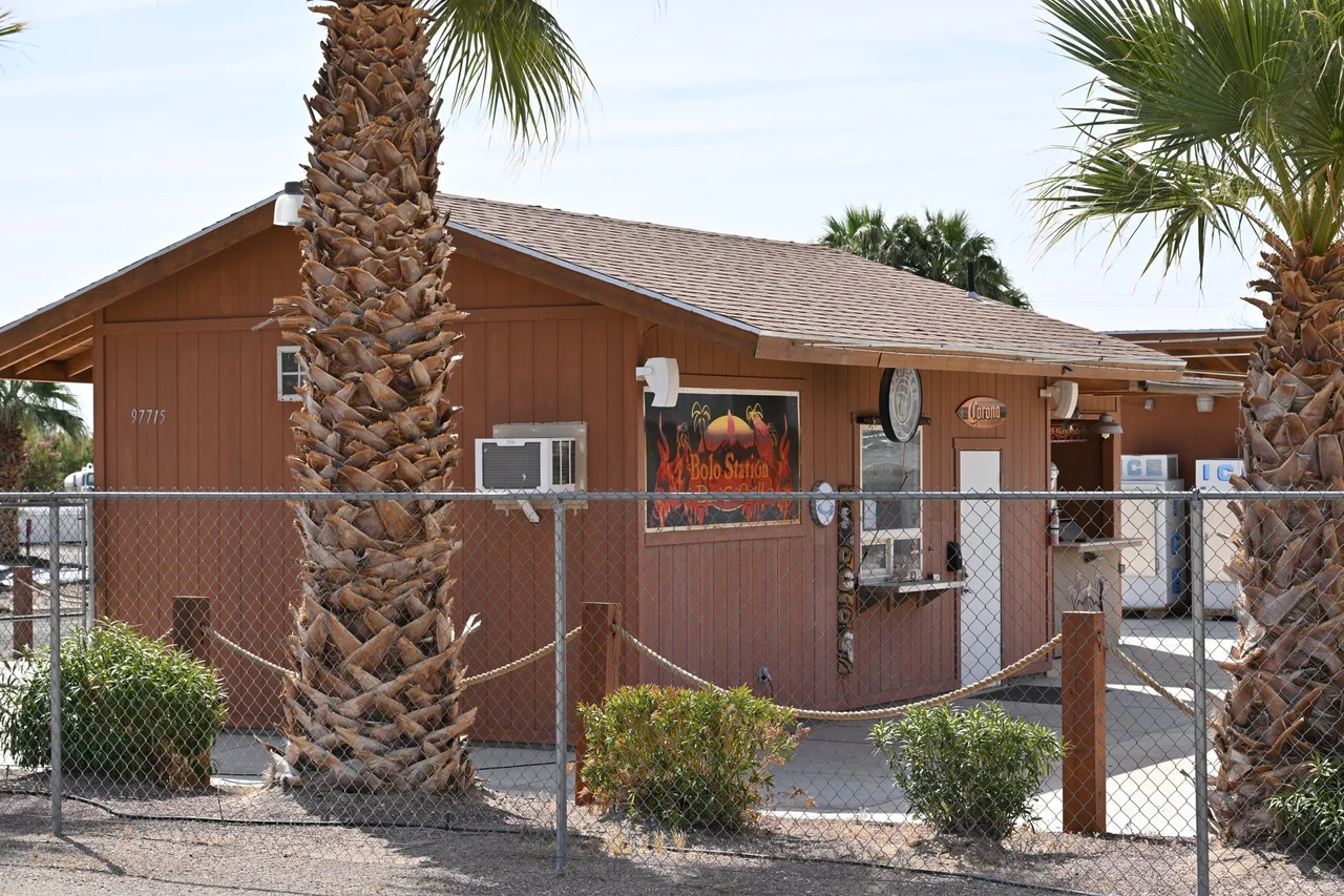
Lewis Kingman named the stations on his railroad line alphabetically — Amboy, then Bagdad, then Cadiz, continuing through the desert like a lesson in the ABCs applied to geography. When he named Cadiz in 1883, he was probably thinking about rhythm and sequence more than the Spanish port city, the ancient Phoenician colony, or any of the other things the name carries. The station has been Cadiz ever since, a water stop on what is now the BNSF Southern Transcon, the main freight line from Los Angeles to Chicago. The water beneath it has become, a century later, the subject of a legal and political battle that the railroad naming never anticipated.
The Station and the Line
Cadiz sits on the BNSF Southern Transcon — the railroad line that carries more freight between Los Angeles and Chicago than any other route in North America. The station is, in railroad terms, a siding: a place where trains can pass each other on the main line, a functional piece of infrastructure in a landscape that is otherwise defined by its emptiness.
Cadiz Airstrip, designated CA90, provides a 5,280-foot paved runway in the desert — long enough for most light aircraft, a practical necessity in a county where the distances between communities make air travel practical for those with the means. The strip serves the ranching and mining operations that persist in the eastern Mojave, and occasionally the researchers and water project personnel who have reason to visit this particular piece of ground.
Cadiz Inc. and the Aquifer
Cadiz Inc. owns more than 35,000 acres around the railroad station — a landholding assembled specifically because of what lies beneath it: the Mojave Aquifer, a vast underground water reservoir that took thousands of years to accumulate and that the Cadiz water project proposes to pump at a rate of billions of gallons per year. The water would be piped to municipal systems in coastal Southern California, addressing the region's chronic water supply constraints.
The project has been debated since the 1990s. Proponents argue that the aquifer naturally evaporates at the surface of nearby dry lakes and that pumping would capture water that would otherwise be lost. Opponents argue that the pumping rate would overdraft the aquifer, damaging springs, vegetation, and ecosystems that depend on the water table remaining where it is.
Political Reversals
The Cadiz water project navigated through the Obama, Trump, and Biden administrations with its status changing each time. The Obama administration blocked a proposed pipeline route across federal land, a decision that the Trump administration reversed in 2017 by reinterpreting the relevant regulations. The Biden administration reversed the reversal, reinstating the Obama-era interpretation and blocking the federal land route again.
The oscillation reflects the project's genuine ambiguity: it sits at the intersection of Western water law, federal land management, environmental protection, and the pressing reality of Southern California's water needs. Each administration's decision reflects a different weighting of those factors. The aquifer, meanwhile, continues to accumulate water at the rate it has for millennia, indifferent to the political calendar.
What Cadiz Is
Without the water project, Cadiz is a railroad siding, a landing strip, and 35,000 acres of Mojave Desert. The Southern Transcon passes through continuously, carrying the freight of the national economy through a landscape that the economy otherwise overlooks. Trains move at speed through Cadiz without stopping for anything except operational necessity.
The desert around the station is the eastern Mojave at its most austere — creosote and Joshua trees spaced widely in gravelly alluvial soil, the Marble Mountains visible to the north, Bristol Lake's white playa to the south. The Cadiz Dunes, a sand formation east of the station, accumulate sand blown from the dry lake beds. It is a landscape that holds its water secrets underground, which is precisely why the argument over those secrets has lasted so long.
From the Air
Located at 34.52°N, 115.513°W in eastern San Bernardino County. The Cadiz Airstrip (CA90) with its 5,280-foot runway is visible from the air. The BNSF mainline runs east-west through the area. Nearest airports: Twentynine Palms Airport (TNP), approximately 55 miles west; Needles Airport (EED), approximately 30 miles east.
Nearby Stories
- Condor Field 6.6 km away
- Bagdad-Chase Mine 6.7 km away
- Mitchell Caverns 15 km away
- San Bernardino County, California 16 km away
- Pinto Mountains 38 km away
- London Bridge (Lake Havasu City) 57 km away
- Poston War Relocation Center 61 km away
- Boulder City and Hoover Dam 131 km away