.jpg)
San Bernardino County, California
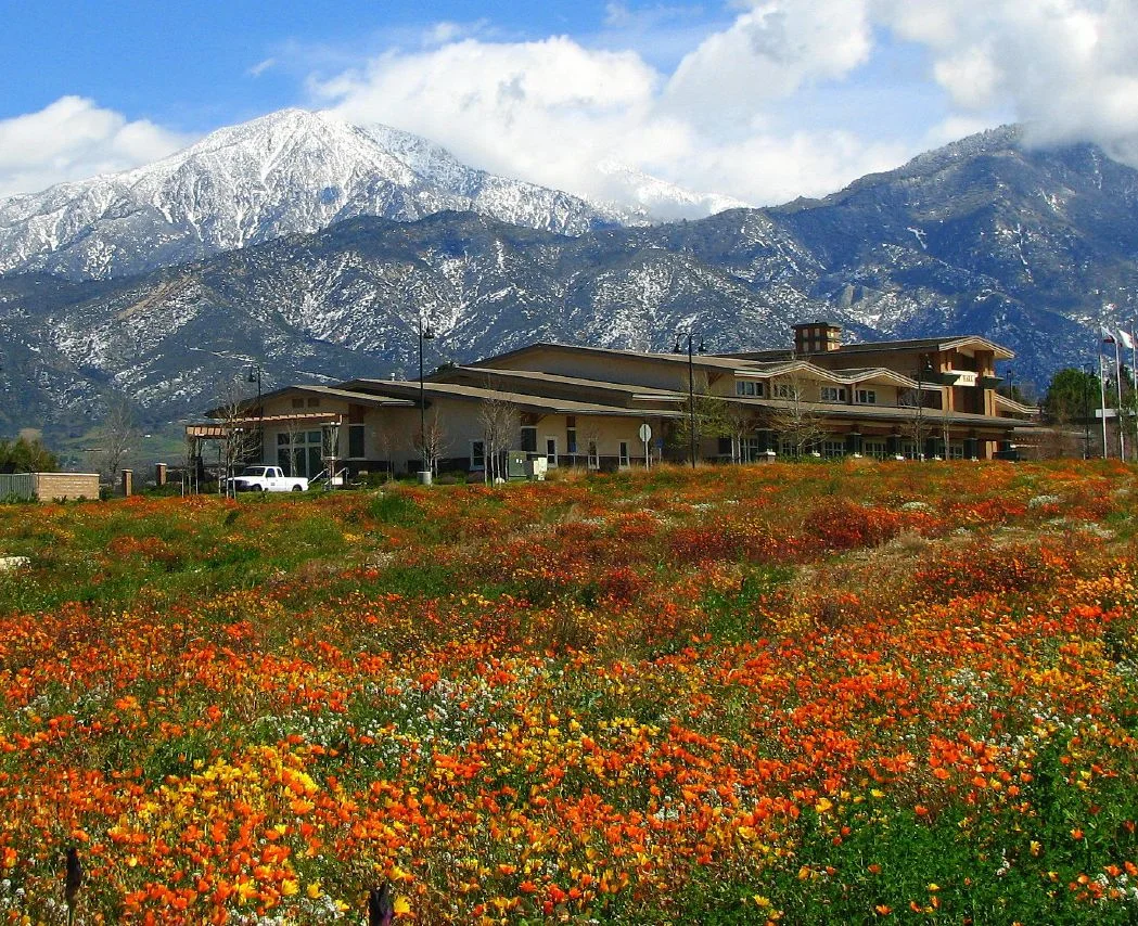
San Bernardino County covers 20,105 square miles — larger than nine U.S. states, larger than Switzerland, larger than any other county in the contiguous United States. Most of it is empty. The population of more than two million people clusters in cities along the southwestern edge, in the Inland Empire basin where the mountains moderate the desert's extremes. Beyond that strip of development, the county extends north and east through the Mojave Desert and into the Great Basin, a vast administrative territory that is mostly federal land, mostly silence, and mostly the kind of landscape that people traverse without stopping.
The Geography of Extremes
The county contains more wilderness areas than any other county in the United States — over 35 designated wilderness zones protecting desert, mountain, and high-basin ecosystems. The elevation ranges from below sea level in the desert basins to over 11,000 feet in the San Bernardino Mountains. Joshua Tree National Park, Mojave National Preserve, and Death Valley National Park all touch or fall within its boundaries.
More than 80 percent of the county's land is federally managed — by the Bureau of Land Management, the National Park Service, the U.S. Forest Service, and the military. Fort Irwin and the Marine Corps Air Ground Combat Center at Twentynine Palms account for large portions of the desert interior. The county seat is the city of San Bernardino, in the southwestern corner of this enormous territory.
The Desert Interior
The Mojave Desert occupies the northern and eastern portions of the county — a landscape of dry lakes, volcanic cinder cones, ancient lava flows, Joshua tree forests, and mining ghost towns. Route 66 crosses it. The National Trails Highway, now mostly abandoned, preceded it. The BNSF mainline connecting Los Angeles to Chicago runs through the Cajon Pass and across the desert floor, carrying freight that the gold rush once carried on mule back.
Ghost towns mark the desert like punctuation: Stedman, Ragtown, Kelso, Amboy, Bagdad. Each one represents a moment when someone believed a particular piece of the Mojave was worth settling — usually because of a mine, a railroad junction, or a water hole — and then the moment passed. The desert absorbed them at approximately the same speed it had disgorged them.
Size and Its Consequences
Governing a county this large creates practical challenges that smaller jurisdictions never encounter. The county sheriff's jurisdiction covers terrain that would require hours of driving to cross. Fire suppression in remote wilderness relies on aircraft and on the fortunate fact that much of the desert is already too sparse to burn dramatically. Public services — roads, utilities, health care — are stretched across distances that strain any budget.
For residents of the desert communities scattered across the county's interior, the consequence is distance. Distance to hospitals, to government offices, to schools that offer more than a few classrooms. The communities that persist in the desert interior do so because their residents have chosen the distance or because family and history have rooted them there. Both conditions produce people who are, by necessity, more self-sufficient than their counterparts in the suburban western corridor.
What the Scale Means
The scale of San Bernardino County is not merely a geographical fact — it is an argument about what a county can be. It contains cities and wilderness in roughly equal measure of land, though wildly unequal measure of population. It contains the full range of California's climatic extremes, from the mountain snowpack that feeds the Inland Empire's water supply to the dry lake beds that shimmer in summer heat.
Flying over it, the contrast is stark: the dense suburban grid of the western cities gives way, within miles, to empty desert that runs uninterrupted for a hundred miles or more. The county line, when you reach it, means nothing to the landscape. The desert continues.
From the Air
San Bernardino County spans from approximately 33.8°N to 35.8°N and 114.1°W to 117.9°W — a rectangle larger than many states. From cruising altitude, the transition from suburban development to open Mojave Desert is clearly visible moving northeast from the Inland Empire. Major airports: Ontario International (ONT) in the southwest, and Barstow-Daggett (DAG) serving the desert interior.
Nearby Stories
- Bagdad-Chase Mine 12 km away
- Kelso Depot 13 km away
- Calico: The Ghost Town Walter Knott Saved 15 km away
- Cadiz, California 18 km away
- The Trona Pinnacles: California's Most Alien Landscape 78 km away
- Cabazon Dinosaurs 79 km away
- The PEPCON Disaster 113 km away
- The 49ers of Death Valley: The Shortcut That Became a Deathtrap 134 km away