.JPG)
Callanish
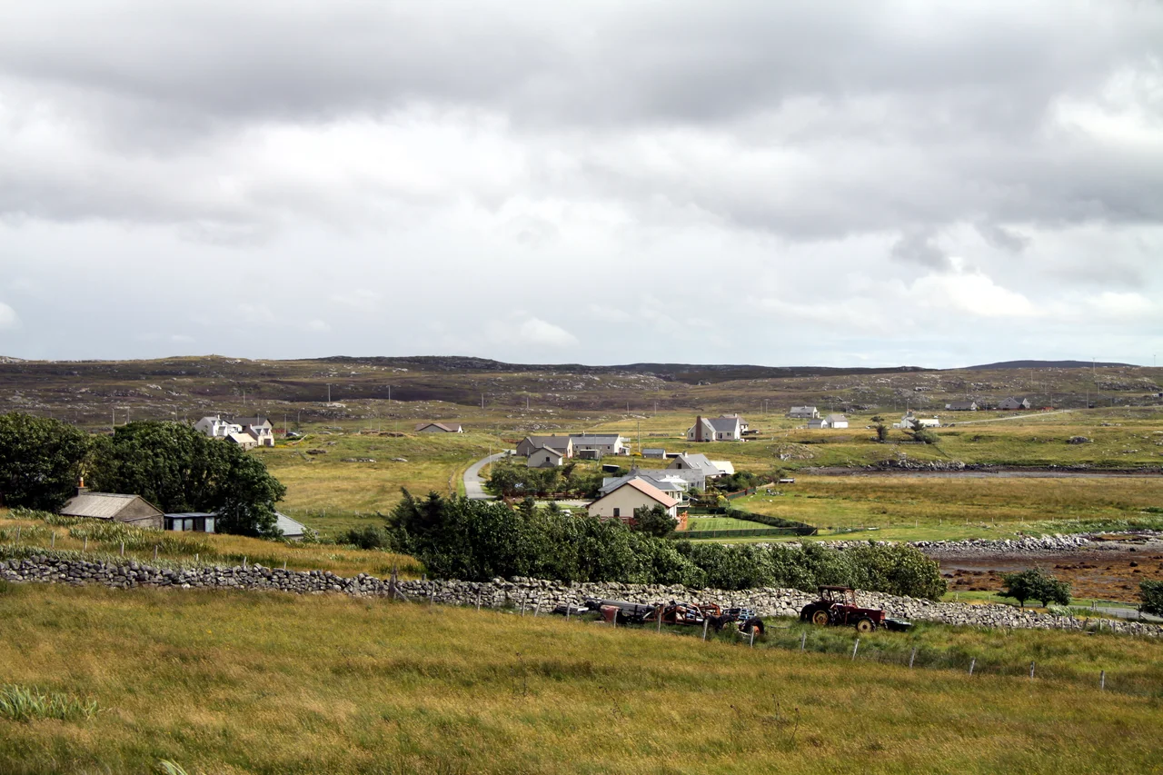
The village is small. A jetty, a string of houses along a headland jutting into Loch Roag, a single-track road that becomes the A858, and a low ridge of standing stones on the skyline. Drive west thirteen miles from Stornoway and you arrive in Calanais, which Wikipedia and signposts alike still spell Callanish in English. The village would be a quiet crofting settlement like dozens of others on Lewis - except for the cross-shaped ring of stones erected around 3000 BC at its centre, which has been drawing pilgrims and astronomers and tourists for at least five millennia.
A Village Around the Stones
Calanais is a linear settlement, the houses spread along the road and jetty rather than gathered around a square. It sits on a headland jutting into Loch Roag, a sea loch in the parish of Uig on the west side of the Isle of Lewis. The A858 - one of the main spinal roads of the island - runs through Calanais between the neighbouring villages of Breasclete and Garynahine. There is a visitor centre that explains the main circle and the lesser monuments scattered across the surrounding moor. The village population is small. The stones bring most of the traffic. Outside the summer season, walking the ridge among the stones at first light, you can be entirely alone with the monument and the sky.
The Cross of Calanais I
Calanais I, the main circle, is one of the most spectacular megalithic monuments in Scotland. It was raised around 3000 BC, making it older than Stonehenge by perhaps three hundred years. Its plan is unusual - a ring of standing stones around a central pillar and a small chambered cairn, with an avenue of paired stones leading north and shorter rows running east, south and west. The result is roughly cruciform from above, a shape unique among British stone circles. The stones are Lewisian gneiss, some of the oldest rock on the planet, scraped from the surrounding hills and dragged into place by people whose names are gone but whose work still reads as architecture. The site has been linked to lunar standstill cycles, to seasonal calendars, to burial rites. Probably it served several purposes across the long centuries it was in use. Whatever the builders had in mind, they marked the spot decisively.
The Outer Constellation
Calanais I is the centre of a much larger system. At least ten satellite circles and stone settings stand within a few kilometres of the main site, numbered I through X and known collectively to the locals by their Gaelic names. Callanish II and III sit just to the south. Callanish IV is across the loch to the south-east. Callanish VIII is the deliberate semicircle on the cliff edge at Great Bernera. Callanish X collapsed at some point in prehistory and lies in scattered fragments along the ridge of Druim nan Eun. No one knows why this small area of moor attracted so many monuments, or what relationships if any the builders saw among them. The density itself is the story. A community here, across many generations, came back to this landscape to raise stones.
What the Visitor Sees
The visitor centre is a low modern building tucked discreetly below the ridge so as not to spoil the sight lines. Inside, exhibits explain the construction, the astronomy and the long story of the site - including its near disappearance under peat by the early 19th century. When the peat was cleared in 1857, the stones were standing in a metre of accumulated bog. The exposure restored the monument visually but also revealed how much of British Neolithic landscape had been hidden by post-glacial bog growth. Outside, the path leads up to the stones themselves. The gneiss has a banded grey texture that catches the light. The avenue points roughly north. The view east opens across the loch toward Great Bernera. The view south falls toward East Loch Roag and the satellite circles in the middle distance. It is a place that does its own work on you, whether or not you believe in any of what the original builders believed.
From the Air
Coordinates 58.20 N, 6.74 W. The village of Calanais sits on a headland jutting into East Loch Roag, with the main Callanish stone circle visible on a low ridge just north of the village. Nearest airport is Stornoway (EGPO), about 13 nm east. Recommended viewing altitude 1,500-3,000 ft to take in the main circle and its satellite monuments together. The cross-shaped pattern of Callanish I shows best from directly above. Expect frequent wind and low cloud off the Atlantic; clear days reveal the relationship between the main site, the village and the half-ring at Callanish VIII across the loch on Great Bernera.
Nearby Stories
- Hebrides 8.6 km away
- Tiumpan Head Lighthouse 11 km away
- The Flannan Isles Mystery: The Lighthouse Keepers Who Vanished 12 km away
- German submarine U-905 33 km away
- Rua Reidh Lighthouse 35 km away
- Spaceport 1 40 km away
- Sandwood Bay 104 km away
- The Laki Eruption: The Volcano That Changed World History 843 km away