
Cam Ranh
Long before anyone called it Cam Ranh, the Rade people knew this place as Kăm Mran. The ancient Champa kingdom, which shaped the culture of south-central Vietnam for over a millennium, recognized the same thing that every subsequent power would recognize: a bay this deep, this sheltered, this naturally gifted does not stay provincial for long. The Cham built a commercial center here where merchants from neighboring kingdoms came to trade. The French built fortifications. The Americans built an air base and a port with five piers. The Soviets leased the whole complex for twenty-five years. Each left something behind. The city of Cam Ranh that exists today — population 138,510 (2019 census), area 316 square kilometers, second-largest city in Khánh Hòa Province — sits on the accumulated sediment of all of it.
The Champa Legacy
Cam Ranh's deepest roots belong to peoples who arrived here long before the Vietnamese state extended this far south. The Champa kingdom, which flourished along the central Vietnamese coast for centuries, maintained Cam Ranh as an important military and commercial center. The Cham, Rade (Êđê), and Raglai peoples all made their lives in this landscape — fishing its bay, farming its narrow coastal plain, trading through its natural harbor. The Rade name, Kăm Mran, predates the Vietnamese one; the Champa presence predates both. When Vietnamese settlers arrived in the early modern period, they moved into a landscape already shaped by older cultures, and those cultures did not disappear. The Cham and Raglai communities have persisted in the region — you can still find Raglai villages in the hills of nearby Núi Chúa National Park today, descendants of the people who were here first.
Layers of Fortification
The French colonial government formalized its presence here in 1939, establishing the Ba Ngòi Administrative Agency and beginning the construction of a military base that would grow through successive occupations. Cam Ranh Airport dates from this period. After 1954, the South Vietnamese government continued developing the site, adding new facilities at the Cam Ranh Military Station. Then came the Americans, who transformed the entire bay during the Vietnam War into one of their most important logistical installations in Southeast Asia — a port, an airfield, a depot, a naval air facility, a communications station. At its peak the Cam Ranh Support Command was authorized nearly 8,000 personnel. Civilians who passed through Cam Ranh during those years remember a landscape of sand, construction, and heat, the bay glittering behind a skyline of cranes and hangars.
After the War
North Vietnamese forces captured Cam Ranh Bay on 3 April 1975. Within four years, Soviet Pacific Fleet personnel were moving into the facilities that American engineers had built on the same sand. The Soviets occupied the base until 2002, when the Russian flag was lowered for the last time and sole control reverted to Vietnam. The city of Cam Ranh that emerged from this history was formally elevated to city status by government resolution on December 23, 2010. The bureaucratic language was dry — Resolution 65/NQ-CP, establishing the city based on the entire area and population of Cam Ranh town — but it marked a genuine turning point: a place defined for decades by its role in other people's wars finally governing itself as a Vietnamese city.
A City on the Bay
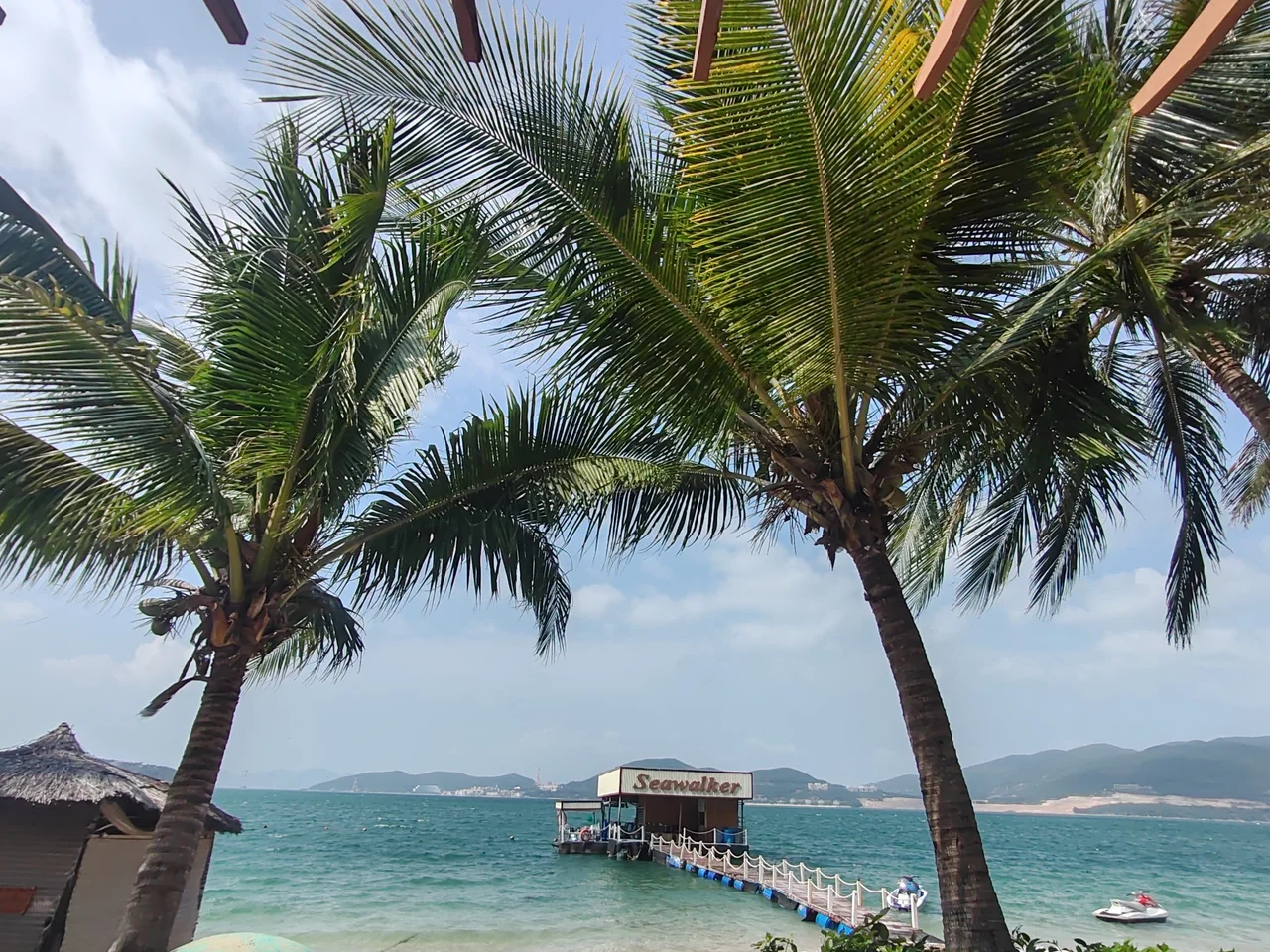
Today's Cam Ranh has Cam Ranh International Airport for its northern gateway and Ba Ngòi Port as its commercial harbor, both legacies of the military infrastructure that earlier powers installed. The airport, once a tactical fighter base and one of three aerial ports for American troops rotating through South Vietnam, now handles international passenger flights. The port handles cargo. The climate is tropical savanna — hot and relatively dry, in keeping with the regional pattern of south-central Vietnam — though not as extreme as Ninh Thuận Province to the south. Streets like Hùng Vương Avenue and roundabouts that suggest a city with room to plan, a city with a future rather than just a past, have replaced some of the wartime installations. Resorts line sections of the coast. The bay, which has hosted the navies of France, Russia, Japan, the United States, and Vietnam, is now also a place where people come on holiday.
From the Air
Cam Ranh city sits at 11.91°N, 109.14°E on the western shore of Cam Ranh Bay. Cam Ranh International Airport (VVCR) is the dominant landmark, with its runway oriented approximately north-south on the bay's eastern peninsula. The urban grid of the city is visible to the west of the bay. Nha Trang (VVNT) lies about 40 km to the north. The bay itself, one of the largest natural harbors in Southeast Asia, is a major visual reference point — its sheltered blue water contrasts with the open South China Sea to the east. From 5,000–10,000 feet on approach to VVCR, the coastline's clarity and the bay's geometry are immediately apparent.
Nearby Stories
- Vinpearl Cable Car 10 km away
- Linh Phước Temple 17 km away
- Phan Rang–Tháp Chàm 19 km away
- Bidoup Núi Bà National Park 37 km away
- Operation Byrd 40 km away
- South-East Asian Theatre of World War II 181 km away
- Kashmir Princess 361 km away
- Battle of the Paracel Islands 529 km away