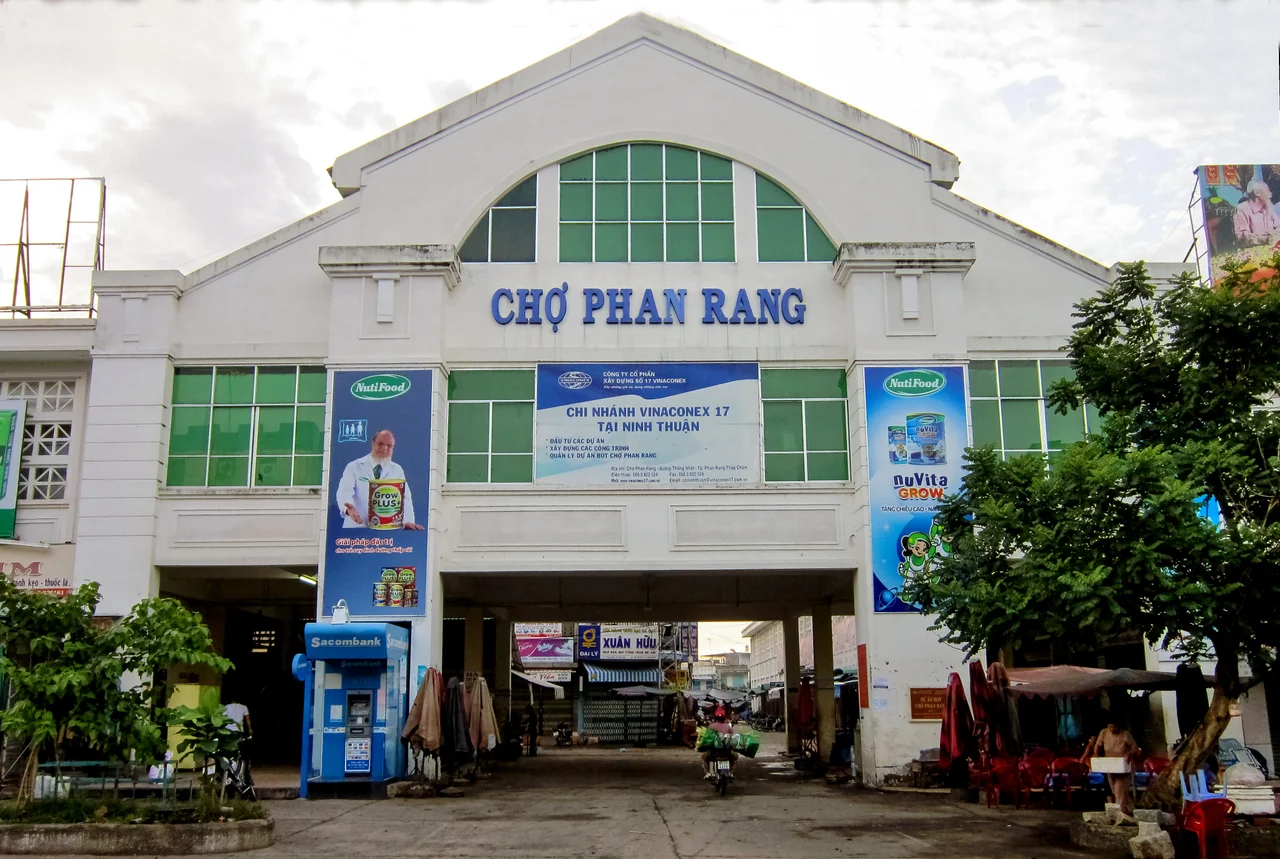

Phan Rang–Tháp Chàm
The name does not translate cleanly. Phan Rang derives from the Cham *Pan(da)rang*, itself a Chamized form of the Sanskrit *Pāṇḍuraṅga* — another name for the Hindu god Vithoba. The words first appeared on Cham stone inscriptions around the tenth century. Tháp Chàm means "Cham Tower" and points directly at the ancient red-brick towers visible on a hill at the northern edge of the city. Together, the two-part name is a compressed history of one of the longest-inhabited places on the South Central Coast of Vietnam — a place where a great civilization reached its final form and where its architecture, language, and festivals still survive in the dry heat beside the South China Sea.
Panduranga: Capital of the Last Champa
Long before it was a Vietnamese provincial city, this stretch of coast was Panduranga, one of the most important polities of the Champa kingdom. In 757, a southern Champa ruler established Panduranga as a semi-autonomous principality. It grew into a religious and cultural center, its profile rising as the Champa kingdom itself contracted. When Vietnamese forces from the north captured Vijaya — the main Champa capital — in 1471, Panduranga became the kingdom's last refuge and seat of power, holding that role until 1693. The Panduranga Principality survived for another 139 years after that as a nominally autonomous vassal territory before being annexed by Vietnam in 1832. That annexation ended the last formal political expression of the Cham state, though the Cham people remained — and remain — in large numbers around what is now Phan Rang.
The Towers That Name the City
Two kilometers west of the Tháp Chàm railway station, a hilltop complex of Cham towers dedicated to King Po Klong Garai stands above the plain. He ruled Panduranga from 1167 to 1205, and his likeness appears on a lingam inside the sanctuary of the central tower. A second tower complex, for King Po Rome, sits about 20 kilometers southwest. These are not ruins in the archaeological sense — they are living religious sites. Built in small red bricks with almost no mortar, the towers use a construction technique still not fully understood, with arches rimmed by special flame-tipped bricks that required sophisticated engineering to handle the overhang. Every October, the Cham Kate festival fills the towers with music, offerings of food, and the sacrifice of a bullock. Wedding ceremonies, rain festivals, and Ramadan observances also take place here. The towers are as actively used as they were a thousand years ago.
Driest City, Coastal Bounty
Phan Rang's climate is an anomaly. Although it sits in a tropical coastal province, it records among the lowest annual rainfall in all of Vietnam — significantly below the national average and the lowest in Southeast Asia outside Myanmar's Dry Zone. The city endures a long dry season running from December through August. That aridity shapes everything local: the sun-scorched landscape, the tough grapes that thrive in the mineral-rich dry soil and go to wine production, the rice paddies that require careful irrigation, and the shrimp farms along the 10-kilometer coastline of Phan Rang Bay. The seafood industry — shrimp, fish, scallops, squid — benefits from the bay's warm, clear waters. Grilled rice paper and banh can, two snacks the Cham originated and the Vietnamese adapted, are the flavors the city exports to the rest of Vietnam.
Wars, Partitions, and a Rack Railway
Modern Phan Rang was formally established in 1917 by edict of Emperor Khải Định. The Japanese occupied it during World War II and built an airfield; the French used the same runway afterward. During the Vietnam War, the city hosted one of the major American air bases in the II Corps Tactical Zone. The old Đà Lạt–Tháp Chàm rack railway, a remarkable engineering achievement that opened in 1932 and climbed into the highlands using a cog system, was abandoned during the war and dismantled after 1975 — its steel sent north to help rebuild the heavily damaged main railway line. A proposed restoration project has been discussed for years. The city itself was divided between Phan Rang and Tháp Chàm for decades, rejoined administratively in 1992, and achieved city status in 2007. Among its notable former residents: Nguyễn Văn Thiệu, President of South Vietnam from 1967 to 1975.
Cham Culture, Still Present
What distinguishes Phan Rang from other Vietnamese cities of similar size is not its economy or its beach. It is the density of living Cham culture within the urban fabric. Cham neighborhoods maintain rice paddies, orchards of grapes and peaches, herds of goats and Brahman cattle — a pastoral thread woven through a contemporary city. The Cham hereditary line runs through the mother, not the father, a matrilineal practice that persisted through centuries of outside pressure. Their religious practice blends ancient Cham Hinduism and animism with Islam, producing a syncretic tradition expressed in the Kate festival's colorful ceremonial dress and fire motifs. A cultural center beside the Po Klong Garai complex houses paintings and craft work by Cham artists. The towers at sunset are one of the most striking sights on the South Central Coast.
From the Air
Phan Rang–Tháp Chàm lies at 11.5643°N, 108.9886°E on the coastal plain of Ninh Thuận Province, approximately 330 km northeast of Ho Chi Minh City. The city is visible from altitude as a compact urban area fronting Phan Rang Bay (South China Sea) to the east, with the distinctive military airfield of Thành Sơn Air Base (VVPR) 5 km north-northwest. Recommended viewing altitude: 5,000–10,000 ft AGL. The arid coastal plain contrasts sharply with the green highlands rising to the west. Cam Ranh International Airport (CXR/VVCR) is approximately 59 km north.
Nearby Stories
- Bình Ba Island 11 km away
- Phan Rí Cửa 11 km away
- Linh Phước Temple 24 km away
- Principality of Thuận Thành 39 km away
- Phú Quý Island 85 km away
- South-East Asian Theatre of World War II 143 km away
- Kashmir Princess 361 km away
- South China Sea 365 km away