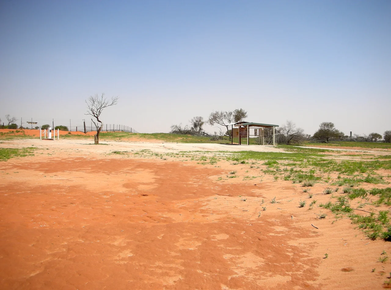

Cameron Corner Survey Marker
Stand beside the weathered post at Cameron Corner and you can put one foot in New South Wales, another in Queensland, and reach into South Australia, all without taking a step. There is nothing here to suggest it should matter: red earth, saltbush, the long line of the Dingo Fence vanishing toward two horizons. But this unremarkable patch of desert is one of the most precisely earned spots in Australia, the place where three states agree to meet, fixed by a surveyor working almost entirely alone in 1880.
A Line Drawn by Latitude
The borders that converge here were not negotiated on the ground. They were dictated by London. When Queen Victoria's letters patent separated the new Colony of Queensland from New South Wales in 1859, the boundary was defined in the abstract language of geography: follow the watershed inland from Point Danger to the Dumaresq River, run along a chain of rivers to the 29th parallel of south latitude, then strike due west along that parallel to the 141st meridian of east longitude, which was already the eastern edge of South Australia. Where the parallel met the meridian, three colonies would touch. The trouble with a border made of imaginary lines is that someone, eventually, has to find them in the real world.
The Man Who Found the Corner
That someone was John Brewer Cameron, a Scottish-born surveyor who had chased gold in Victoria and New Zealand before turning to the exacting science of geodesy. In September 1879 he set out west from the Warrego River alongside George Watson, representing Queensland, the two men dividing the labour between chain measurement and astronomical observation. By March 1880, Watson had withdrawn, leaving Cameron to push the remaining survey across roughly 285 miles of harsh inland country largely on his own, fixing his position by the stars night after night. In September 1880 he reached the meridian and drove in a post to mark the corner. The place has carried his name ever since, a rare honour for the patient, unglamorous work of measuring the empty middle of a continent.
Three States, Three New Year's Eves
A short walk from the marker stands the Corner Store, a single outpost that lives a delightfully confused life across three jurisdictions. It pours drinks under a Queensland liquor licence, receives mail through a New South Wales postcode, and dials out on a South Australian phone number. Because Queensland refuses daylight saving, the corner can host three different clock times at once in summer, and locals make a tradition of celebrating New Year's Eve three times over, stepping a few metres between states to ring in each one. There is even a desert golf course laid out across the borders, where a single round can carry you through all three states. It is the kind of bureaucratic absurdity that only the outback could make charming.
Heritage at the End of the Fence
Cameron Corner was added to the Queensland Heritage Register on the ninth of November 2012, recognised not for grandeur but for what it represents: the western limit of the Queensland-New South Wales border and a genuine surveying feat of its era. The Dingo Fence threads straight through it, the meeting of the colossal barriers that guard the southeastern sheep country, and that line of wire mesh gives the place its scale. To reach the corner at all is an achievement; it sits hundreds of kilometres from any town, deep in the gibber and dune country of the far northwest. Most who make the journey do exactly what visitors have always done here: walk around the post, stand in three states at once, and marvel that anyone ever found this exact spot in the first place.
From the Air
Cameron Corner lies at almost exactly 29.00 degrees south, 141.00 degrees east, where the NSW-Queensland and NSW-South Australia borders intersect. The clearest aerial landmark is the Dingo Fence itself, which crosses here as two long converging lines of cleared track and wire running to the horizon; the cluster of the Corner Store buildings and the desert golf course breaks the otherwise featureless gibber and dune country. Best viewed from 2,000 to 4,000 feet AGL to trace the fence lines meeting. Nearest airstrip is Cameron Corner's own short strip; Tibooburra (YTIB) lies roughly 130 km southeast and Broken Hill (YBHI) far to the south. Summer brings extreme heat and shimmer; cooler months give crisp, long visibility ideal for following the border lines.
Nearby Stories
- Sturt National Park 28 km away
- Tibooburra 65 km away
- Lake Callabonna 79 km away
- Albert Goldfield Ruins 81 km away
- Strzelecki Creek 94 km away
- Strzelecki Desert 109 km away
- Innamincka Station 110 km away
- Wilson River (Queensland) 114 km away