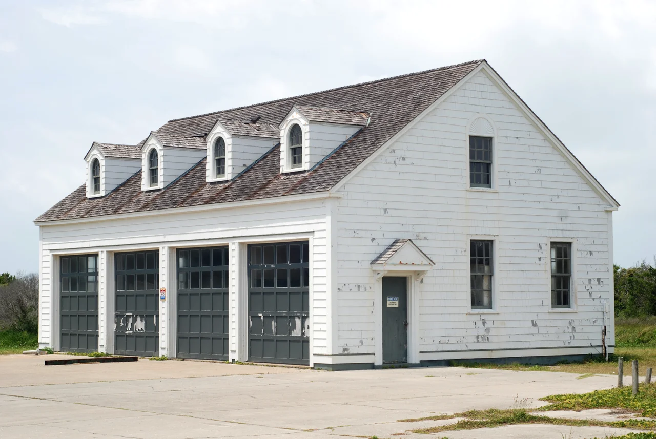

Cape Lookout Coast Guard Station
The Cape Lookout Shoals reach ten miles out into the Atlantic Ocean - a long, shallow tongue of sand and breaking water curling southeast from the tip of North Carolina's barrier islands. For coastwise shipping running from New York toward Charleston and beyond, they were a killer. A vessel caught wrong by wind or tide could ground on the outer bar in heavy weather and break up before any help could reach her. In 1916, the U.S. Lifesaving Service - soon to be absorbed into the new Coast Guard - began construction of a neo-colonial station on the Core Banks, set between Cape Lookout itself and the black-and-white diamond pattern of the Cape Lookout Light. Two identical stations went up at Hatteras Inlet and Cape Fear. Only the Cape Lookout station still stands.
The Watch in the Cupola
The Main Station is a frame building with a central cupola - a small, glass-walled watch room set above the roofline where surfmen could see for miles in every direction. Around it cluster the galley, equipment buildings, cisterns to catch rainwater (there are no wells on the Core Banks worth drinking from), and the support structures that made a remote island life possible for the small crew posted here. The architecture is dignified and oddly domestic, more like a coastal hotel than a military installation. The men who served here lived hours by boat from anywhere else, with only the rhythm of the watches and the weather to mark the days. When something went wrong out on the shoals - and something often did - they launched the lifeboats from the boathouse and rowed.
The Long Watch Ends
The station operated for sixty-six years. By 1982, helicopters and motorized lifeboats and aerial reconnaissance had made the old shore-based lifeboat stations obsolete, and the Coast Guard decommissioned Cape Lookout. The sister stations at Hatteras Inlet and Cape Fear had already been lost. The buildings sat empty for a few years, threatened by the same wind and salt that had eaten the others, until in 1989 they joined the National Register of Historic Places. Cape Lookout National Seashore took over their care - the same federal protection that wraps the entire 56-mile barrier-island chain in a sandy, undeveloped preserve.
Students Where Surfmen Stood
The station's two original buildings now house something the original crews would have found strange and fitting: students. North Carolina university researchers stay here while studying the dolphins and loggerhead sea turtles that work the same waters that once swallowed sailing ships. A single windmill and two solar panel arrays now run the buildings - off the grid, the way the surfmen had to be, but for different reasons now. The shoals are still there. They still claim boats. But the watch in the cupola is over, and the rescue mission has become a research mission - the science of understanding what lives in the water, not just what dies in it.
From the Air
Located at 34.6031°N, 76.5378°W on the Core Banks of Cape Lookout National Seashore in Carteret County, NC. There is no airport at the station itself; access is by boat only from Harkers Island or Beaufort. The nearest airfield is Michael J. Smith Field (KMRH) at Beaufort, roughly 10 nm west-northwest. Best viewed at 2,500-4,000 feet AGL on coastal transits, where the diamond-pattern Cape Lookout Lighthouse stands a few hundred yards south and the cupola of the main station is visible against the white sand. The shoals reaching southeast from the cape are obvious from altitude as long, pale streaks in the Atlantic.
Nearby Stories
- Marine Corps Auxiliary Landing Field Bogue 17 km away
- SS Dixie Arrow 20 km away
- Eastern North Carolina 22 km away
- HMT Bedfordshire 24 km away
- Oriental, North Carolina 32 km away
- Figure Eight Island 69 km away
- Monitor National Marine Sanctuary 71 km away
- Mercury-Redstone 4 750 km away