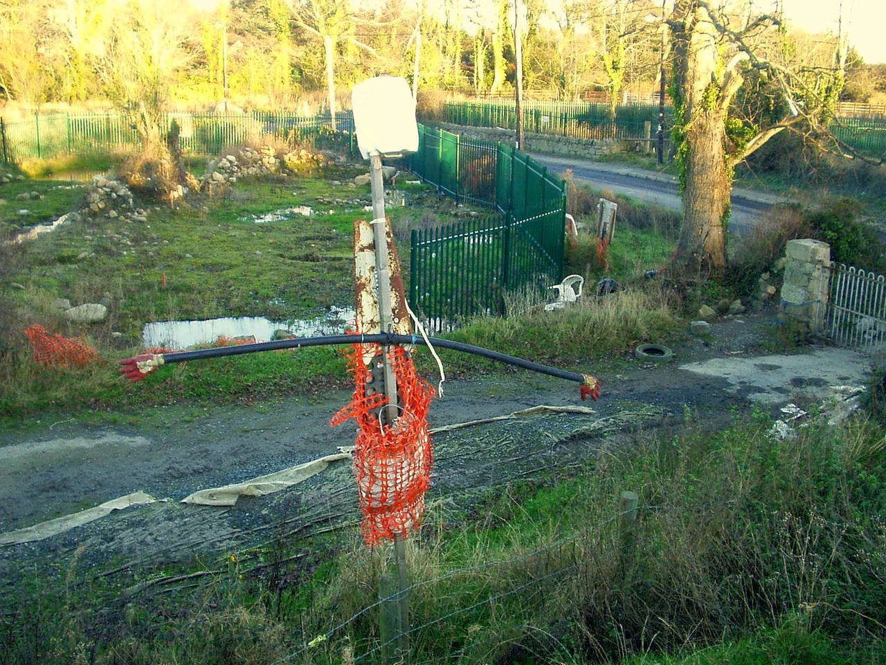

Carrickmines Castle
Three hundred people were killed here in 1642. Four hundred years later, in 2002, activists who called themselves the Carrickminders camped on the same ground to stop another kind of destruction - the M50 motorway, Dublin's orbital ring road, which was about to be cut directly through the buried remains of one of the most important medieval fortifications in the country. The Supreme Court eventually ruled against them. The road went through. Sections of the castle's medieval walls and parts of its defensive structures were preserved beneath new roundabouts. Forty thousand artefacts were retrieved from the soil before the bulldozers arrived. What stands today on the southern edge of Dublin is a strange palimpsest: a Norman fortress whose stones support a junction of one of Ireland's busiest motorways.
Guarding the Pale
Carrickmines began as a Hiberno-Norse settlement and grew, during the twelfth century, into a fortified Norman castle and village on the frontier between English-controlled Dublin and the Gaelic chiefdoms of Wicklow. It was a major link in the chain of fortifications around the Pale - the area governed directly from Dublin Castle - and at its full extent it covered several acres, with a curtain wall flanked by towers, a moat hewn from bedrock, wooden and stone buildings, mills, and a central keep or hall house. In 1402 the O'Byrne clan of Wicklow moved a large mercenary force to the banks of the River Dargle at Bray, planning to raid Dublin. The direct route would bring them past Carrickmines. They hesitated. The Walsh family, who owned the castle, sent an urgent warning to Dublin. The Mayor rode out with a force and fell on the O'Byrnes; the resulting fight became known as the Battle of Bloody Bank for the number of casualties on both sides.
The Massacre of 1642
When the Irish Rebellion of 1641 broke out and evolved into the Irish Confederate Wars, the Catholic Walshs of Carrickmines sided with the native Irish and with the Confederate attempt to create an independent Irish parliament. They paid the price the following year. English forces besieged the castle. When it fell, over three hundred of the defenders - members of the Walsh family and their O'Byrne and O'Toole allies - were killed in what historians describe as a massacre. Human remains from the slaughter were among the finds that archaeologists recovered from the site nearly four hundred years later. The castle never recovered. The Walsh family lost their lands. By the eighteenth century the buildings were ruins, and by the twentieth they had vanished entirely from view, the foundations buried under farmland on the outskirts of an expanding Dublin.
The Carrickminders
In 1983 the planned route of the M50 had been drawn around the castle site, on the advice of a state agency that recognized its archaeological importance. In 1998 the route was rerouted directly through it. When the National Roads Authority moved to demolish the ruins in 2002, the activists arrived. They called themselves the Carrickminders. Vincent Salafia and Gordon Lucas led the camp on the castle's remains. Professor Sean Duffy of Trinity College Dublin and Dr Mark Clinton - the very archaeologist the NRA had hired to direct the dig - joined them. They argued that the site's potential for historical study had not been realised. Why, they asked, had the road been rerouted into the castle when the original plan had carefully avoided it? The dispute became a national debate about archaeological preservation versus motorway construction. In 2004 the Oireachtas passed Section 8 of the National Monuments (Amendment) Act, effectively removing the castle from normal heritage protections. The Supreme Court upheld the law as constitutional, while acknowledging it removed "a bundle of protections" from national monuments.
A Castle Under a Roundabout
The NRA's preservation plan eventually saved what it could. Six million euros went into excavations over two years. Archaeologists retrieved more than forty thousand artefacts - weapons, coins, pottery, the remains of the 1642 dead. Sections of the medieval walls and parts of the defensive structures were preserved beneath or within M50 roundabouts at junction 15. An Taisce's request to reduce the size of the roundabout was not granted. The road was completed in 2005. A more troubling postscript followed. In 2006 the Criminal Assets Bureau obtained a High Court order freezing 107 acres of land at Carrickmines owned by Jackson Way Properties Ltd, contending the land had been rezoned in 1997 by Dun Laoghaire-Rathdown County Council from agricultural to industrial after the lobbyist Frank Dunlop bribed councillors to secure their votes. The rezoning had raised the value of just seventeen acres from €8 million to €61 million. The case became part of the Mahon Tribunal investigation into planning corruption. The castle that had once protected Dublin from raiders had become, in modern times, a different kind of contested ground.
From the Air
Located at 53.25°N, 6.18°W on the southern edge of greater Dublin, where the M50 motorway curves around the city. Best viewed at 1,500-3,000 ft AGL; the site lies at junction 15 (Carrickmines) where the M50 meets the R117. Dublin Airport (EIDW) is 20 km to the north.
Nearby Stories
- Malahide Castle 1.2 km away
- Castlemartin House and Estate 6.4 km away
- Avoca, County Wicklow 8 km away
- Trim, County Meath 15 km away
- German submarine U-1051 29 km away
- County Carlow 29 km away
- HMS Tyler 32 km away
- Irish Sea Bridge 46 km away