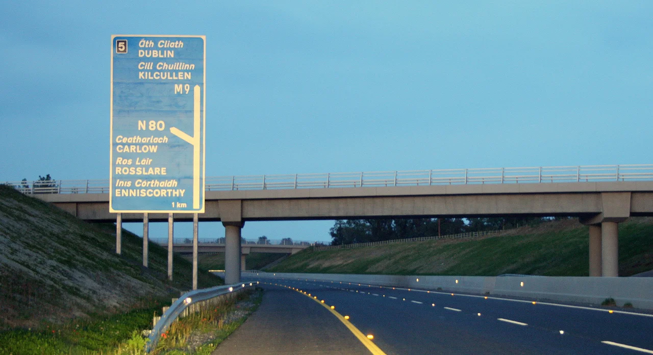

County Carlow
A hundred tonnes of granite balanced on three uprights. The Brownshill Dolmen has been sitting on the Hacketstown Road for somewhere between five and six thousand years, and its capstone is reputed to be the heaviest in Europe. Carlow is the second-smallest of Ireland's 32 counties and the third-least populous, and yet across these modest 89,650 hectares the prehistoric inhabitants assembled more dolmens per square kilometre than almost anywhere else on the island. Locals call it the Dolmen County. The nickname is earned the old-fashioned way - in stone.
The Granite County
Roughly 70 percent of Carlow sits on granite. Four hundred million years ago, when the Iapetus Ocean closed and Baltica collided with Laurentia, a vast pluton of magma cooled slowly beneath the seafloor that became Leinster. The mountains that once stood above it have long since eroded away. What remains is the Leinster Chain, the largest continuous mass of granite in Ireland or Britain, running from Dun Laoghaire all the way to New Ross. In Carlow the granite outcrops most dramatically at the Blackstairs Mountains, where Mount Leinster rises 794 metres above the Barrow valley. The fertile lowlands of the Barrow, the Slaney, and the Burren rivers drain a county that wears its bones lightly.
Capital, Briefly, of Ireland
Carlow has spent most of its history being smaller than its strategic importance. In 1361 the English Crown made Carlow the capital of the Lordship of Ireland in a doomed attempt to halt the Gaelic Resurgence; the capital sat thirteen kilometres north of the permanent residence of Art MacMurrough-Kavanagh, the ascendant King of Leinster, who controlled more than half the surrounding liberty. The MacMurrough-Kavanagh descendants still occupy their ancestral home at Borris House. Carlow Castle, built between 1207 and 1213, was the first Norman-style four-towered keep in either Ireland or Britain. It survived sieges, conquests, and dozens of changes of ownership across six centuries, only to collapse in 1814 when Dr Philip Parry Price Middleton tried to convert it into a psychiatric hospital and used gunpowder to dig basement tunnels. Two towers still stand on the riverbank, vertical witnesses to an act of architectural over-confidence.
Gentry Country
By the late 19th century, Carlow had a greater concentration of country houses per hectare than any other rural county in Ireland. Just 21 families owned almost 40 percent of the land. Historian Jimmy O'Toole calls it 'the most gentrified county in Ireland.' Names like Browne's Hill, Borris House, Duckett's Grove, Altamont, Huntington Castle - the grand demesnes are still scattered through the Tullow lowlands and the river valleys, some restored, some preserved as ruins, some still hosting visitors among walled gardens and ancient yew groves. The yew grove at Huntington Castle was planted by the Esmonde family more than 500 years ago. The Robinsonian-style gardens of Altamont are sometimes called 'the jewel in Ireland's gardening crown,' and they earn the compliment in May when the bluebells come up.
Two Rebellions and a Sugar Beet Factory
In 1798 the Battle of Carlow opened the rebellion in the southeast, and the months that followed were marked by sectarian killings, raids on Catholic homes by the local Yeomanry, and the activities of Reverend Robert Rochfort of Clogrennan House - 'the slashing parson' - who supervised the torture and execution of suspected United Irishmen. The Carlow Brigade of the IRA, during the War of Independence, operated in the shadow of the Curragh and was one of the least active brigades in the country; the abandoned estate at Duckett's Grove served as its training camp. A century later, in 2005, the Irish Sugar Manufacturing Company's plant in Carlow town closed after 79 years - a casualty of EU sugar quotas. The plant had been the flagship of the nationalised sugar industry, and its closure was bitterly contested. Tullow Oil, headquartered in London but founded in Tullow town by Aidan Heavey in 1985, now turns over more than 1.6 billion euro a year. Saoirse Ronan grew up in Carlow. So did John Tyndall, the 19th-century physicist who first explained why the sky is blue.
Living Landscape
The Wicklow Way ends in Clonegal in the county's northeast corner after crossing 131 kilometres of bog and forest. The Barrow Way follows the river for 100 kilometres south to St Mullin's, where the seventh-century monastery of Saint Moling still sleeps beneath its high crosses. Wolves were native here once; the last Irish wolf was shot in 1786 after wandering down from Mount Leinster into Fenagh. Red deer and feral goats still range the Blackstairs. Carlow's two oldest cricket clubs - the Carlow Cricket Club (1831) and Bagnelstown (1843) - keep up the longest provincial rivalry in Ireland, and Brownshill's enormous capstone keeps holding its hundred tonnes against the granite sky.
From the Air
Carlow town lies at 52.84N, 6.93W; the county centroid is 52.67N, 6.83W. Cruise 3,000-5,000 ft to take in the Barrow valley, Mount Leinster (794 m) in the southeast, and the granite uplands of the Blackstairs. Hacketstown Airfield (EIHN, 375 m runway) and Killamaster Airstrip serve light aircraft. Nearest commercial airport is Dublin (EIDW), roughly 80 km north.
Nearby Stories
- Carrick-on-Suir 4.5 km away
- Aghaboe Abbey 8.9 km away
- Young Ireland rebellion 12 km away
- Dunbrody Abbey 13 km away
- Wicklow Gold Rush 18 km away
- Kilcullen 26 km away
- German Submarine U-1302 65 km away