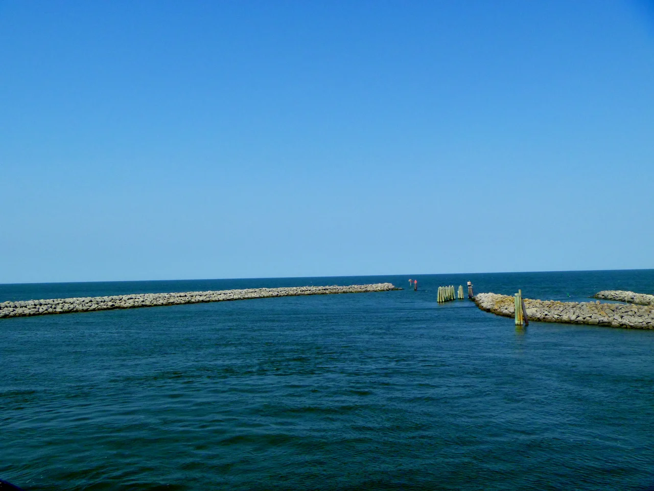

Carteret County, North Carolina
Sixty-two percent of Carteret County is water. The county covers 1,330 square miles, but only 508 of those are land; the rest is sound, river, inlet, bay, ocean. That ratio explains almost everything: why the county seat is a working waterfront, why a Beaufort house once belonged to Blackbeard, why the place names read like a sailor's logbook. Carteret was created in 1722 as a precinct, became a county in 1739, and took its name from Sir George Carteret, one of the 17th-century English Lords Proprietor.
The First English Birth
John Fulford was born in 1629 in what is now Carteret County, the first male of English parents born in the territory that became North Carolina. He settled near Beaufort and died in 1729, one hundred years old by the records of the time. An 1893 article in the New Bern Daily Journal identified his grave in a cemetery off Piper Lane in Gloucester, described as bricked up with English brick. A 1971 survey by the Carteret County Historical Society found an unmarked, bricked-up grave matching that description. It survives today, an anonymous brick rectangle in a cemetery most visitors never find.
Blackbeard's Landlord
William Dennis Sr., born 1720, was an extremely colorful landowner, Revolutionary War officer, and defender of the county. In 1747 he helped fend off Spanish pirates during the War of Jenkins' Ear. He served as a 2nd Major in the Carteret County Regiment during the Revolution. In 1782 he fought alongside Lieutenant Colonel John Easton to drive the British out of the county. And before any of that, Dennis owned the Hammock House in Beaufort, the building that legend says had previously belonged to Blackbeard himself. Dennis's son, William Junior, served as a captain in the 8th North Carolina Regiment, was present at Valley Forge, and fought in the county regiment under his father. By the 1790 census, the Dennis family was one of the largest landowners in the county.
The Lost Ballots
On November 2, 2004, a voting machine in Carteret County malfunctioned during early voting, losing 4,438 ballots. The number exceeded the lead Steve Troxler held over Britt Cobb in the statewide race for agriculture commissioner, which meant nobody could say who had actually won. The State Board of Elections called a special election for January 11, 2005, open only to the 18,500 county voters whose ballots had been lost or who hadn't voted at all. Both candidates filed legal challenges over the format. On February 4, 2005, Cobb conceded. The incident became a national talking point about electronic voting machines, and Carteret County, a coastal county of 67,686 people, briefly held the future of an entire statewide race in its broken hands.
Marines and Marine Biologists
The county is military country and science country at once. Marine Corps Auxiliary Landing Field Bogue covers 875 acres along Bogue Sound, the Corps's only East Coast site for Field Carrier Landing Practice. Outlying Field Atlantic trains pilots from up the road. The Coast Guard runs its Sector Office at Fort Macon and stations at Emerald Isle and Morehead City. Meanwhile, on Pivers Island in Beaufort, the Duke University Marine Laboratory, NCSU's Center for Marine Sciences and Technology, and the UNC Institute of Marine Sciences cluster within a few hundred yards of each other. The Port of Morehead City handles commercial shipping. Michael J. Smith Field handles general aviation. And ferries to Cape Lookout National Seashore carry visitors across to the uninhabited barrier islands beyond.
From the Air
Located at 34.73 N, 76.77 W with Beaufort as the county seat. The county sprawls across coastal North Carolina including Bogue Banks barrier island and the Cape Lookout National Seashore islands to the east. Best viewed from 5,000-8,000 feet for the overall coast-and-sound geography. Major airports: KMRH (Beaufort/Michael J. Smith Field) for general aviation, KNKT (MCAS Cherry Point) for military traffic. Watch for restricted airspace around Cherry Point and Bogue MCALF. The Outer Banks chain begins here and extends north and east.
Nearby Stories
- Lejeune High School 1.3 km away
- Jones County, North Carolina 4.1 km away
- Arapahoe, North Carolina 5.2 km away
- Portsmouth, North Carolina 23 km away
- Topsail Beach, North Carolina 28 km away
- HMT Bedfordshire 34 km away
- Ocracoke, North Carolina 53 km away
- Mercury-Redstone 4 771 km away