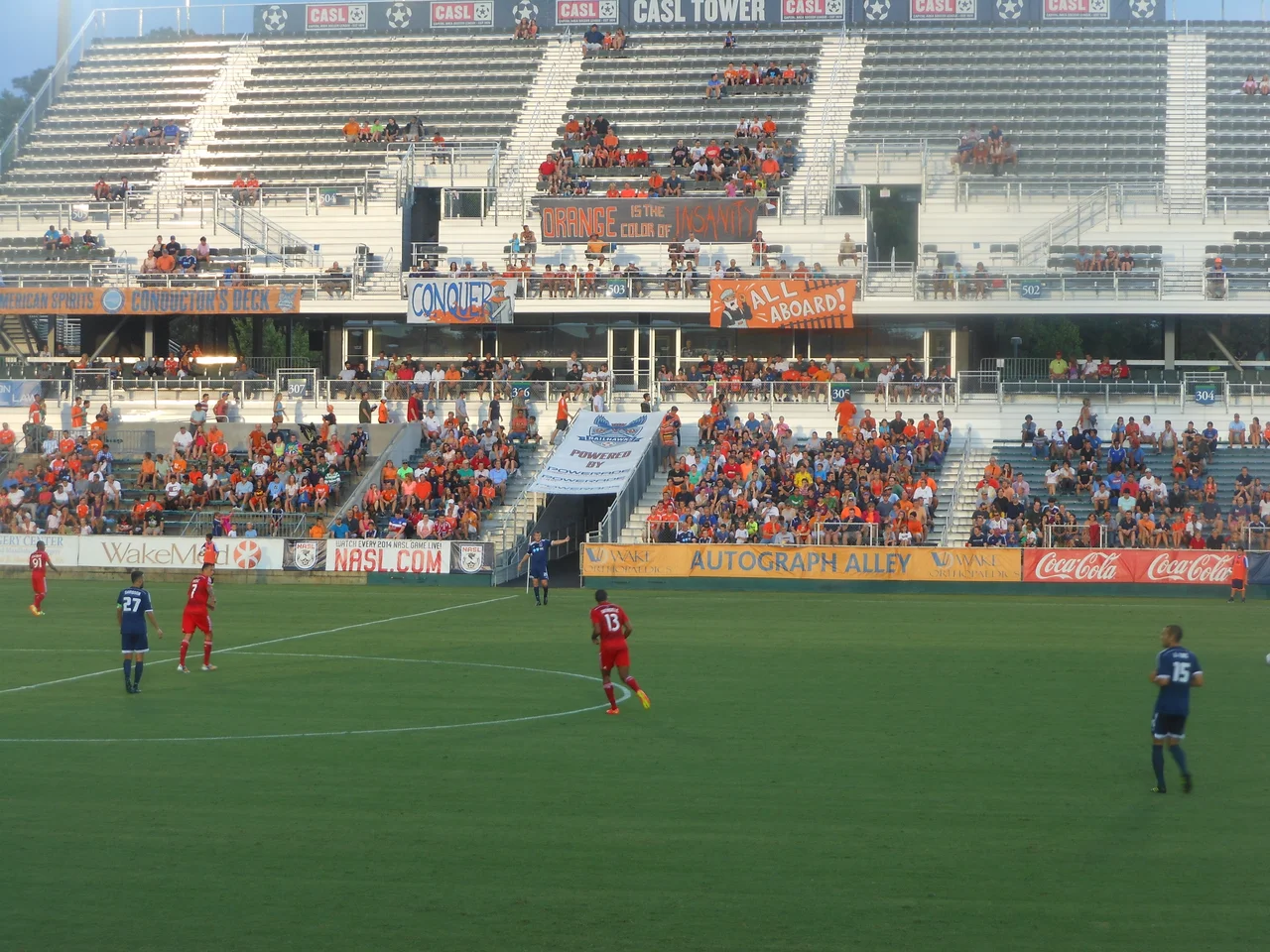

Cary, North Carolina
The locals had a name for it during the long growth boom: Containment Area for Relocated Yankees. The acronym spelled Cary. Native-born North Carolinians watched their old farming town between Raleigh and Chapel Hill fill up with engineers and biostatisticians from up north and somewhere around the 1980s gave up pretending they could fight it. By 2000 the population was 94,536. As of the 2020 Census, more than three of every four residents were not born in North Carolina, and one in five was foreign-born. The town now has Hindu temples modeled after Sri Venkateswara at Tirupathi, a Chinese Lantern Festival with 2,500 silk lanterns lit for the Lunar New Year, and a Dragon Boat Festival on a man-made lake.
From Frank Page to First Postmaster
The town was built around the railroad. Allison Francis Page, a Wake County farmer and lumberman, arrived in 1854 and started the work of turning a crossroads into a place. By 1856 he had added a post office and become its first postmaster. The community sat on the old road between the new capital in Raleigh and the university at Chapel Hill - useful geography for almost anything that came next. Page later built a Second Empire hotel for railroad passengers, the Page-Walker, which still stands as the Page-Walker Arts and History Center. The American Civil War reached Cary only on April 16, 1865 - the same day Robert E. Lee surrendered - when 5,000 Confederate troops under Wade Hampton III encamped there. The enslaved population was emancipated soon after. Some walked to Raleigh and joined the 135th U.S. Colored Troops.
A Town Built on Public Schools
Cary did one thing first in North Carolina that mattered enormously: in April 1907, Cary High School became the first state-funded public high school in the state. By 1900 the predecessor private academy already pulled 248 students from across North Carolina. Town bonds and state money funded a new brick building in 1913, and the WPA expanded it in 1939. That building still stands in the Cary Historic District, a substantial Neoclassical pile designed and built by the Works Progress Administration. The town's identity has stayed wrapped around education and ordered growth ever since. Today 68.4 percent of Cary adults hold at least a bachelor's degree, well above the state average. The median household income is $113,782 - roughly double the state average.
Research Triangle Park Changes Everything
In 1959, the State of North Carolina, Duke, UNC, and NC State opened Research Triangle Park on 7,000 acres of pine forest northwest of Cary. The state built a four-lane road from Cary to the park as part of the deal to attract RTP to North Carolina. Within a decade the town's population doubled. In the 1970s it tripled. In the 1980s and 1990s it doubled again. The town responded with the first subdivision regulations in 1961, a zoning and land-use plan in 1963, and connections to Raleigh's water and sewer in the early 1960s. The planning held. Cary is now one of the largest places in the United States that still calls itself a town - because North Carolina has no legal distinction between city and town, and Cary never bothered to change the label.
The Software Company in the Woods
The largest employer in Cary is SAS Institute, the world's largest privately held software company, whose campus stretches across north Cary in low buildings surrounded by lakes and walking paths. Building A alone is ten stories tall with 990 offices. Founder Jim Goodnight famously runs the place on the theory that treating people well makes them more productive, and the campus - with subsidized daycares, gyms, healthcare, and the analytics behind half of corporate America's risk models - has become a case study in itself. Epic Games, makers of Fortnite, sits a few miles away on Crossroads Boulevard. Garmin, ABB, HCLTech, Lockheed Martin, Xerox, and the snack-food maker Austin Foods (now part of Kellogg's) round out the largest employers.
The Quiet Choice
Cary keeps winning rankings nobody put on the original 1856 town plan. In 2021 it was named the safest mid-sized place to live in the United States. A 2025 federal crash analysis found Cary had the lowest per capita fatal motor vehicle crash rate among American cities over 125,000. Smart-city sensors monitor parking availability, dim street lights when nobody is around, and let SAS analytics flag water leaks in real time. Amtrak's Silver Star, Carolinian, and Piedmont trains stop at the Cary Station, the fifth-busiest in the state. The League of American Bicyclists named Cary one of the first Bicycle-Friendly Communities. The town has more than 200 miles of bike-friendly roads, 82 miles of greenways, and 30-plus public parks. The Gourd Capital of the World - so christened after the local Gourd Festival swept the 1944 International Gourd Society awards in Pasadena - has quietly become one of America's most deliberately designed suburbs.
From the Air
Cary sits at 35.779N, 78.800W in central Wake County, with smaller portions in Chatham and Durham counties. Field elevation roughly 400-500 ft MSL on rolling Piedmont terrain. Raleigh-Durham International (KRDU) is about 5 nm north and provides the primary aviation access; Raleigh Executive Jetport (KTTA) is about 25 nm southwest. From 3,000-5,000 ft AGL the SAS Institute campus on north Cary is a recognizable cluster of large buildings around landscaped lakes; Lake Crabtree sits between Cary and RDU; Jordan Lake fills the western horizon. The town grid blurs into Raleigh on the east and Apex on the south. Cary's water comes from Jordan Lake via the Cary/Apex Water Treatment Facility.
Nearby Stories
- Neuse River 12 km away
- Campbell University 20 km away
- Tobacco Road 22 km away
- Bentonville Battlefield 23 km away
- Greensboro Massacre 28 km away
- Johnston County, North Carolina 28 km away
- Cherry Hill Plantation 38 km away
- Yadkin River 57 km away