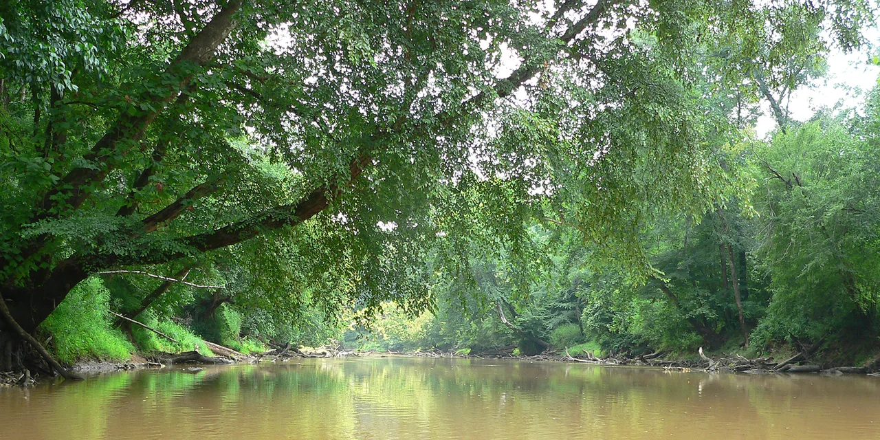

Neuse River
The English captains Arthur Barlowe and Philip Amadas landed on the North Carolina coast on July 2, 1584, on a reconnaissance mission for Sir Walter Raleigh, and when they returned to England they wrote of "the country Neusiok, situated upon a goodly river called Neuse." The name they wrote down belonged to the people who already lived there, and it stuck. More than four centuries later, the Neuse still bears that name - one of only three English-applied place names in the United States that have survived continuously from the earliest contact era. The river itself runs 275 miles from a quiet confluence in the Piedmont to the wide mouth at Pamlico Sound, the longest river contained entirely within a single state east of the Mississippi.
Born of Two Smaller Rivers
The Neuse begins without ceremony, where the Flat River and the Eno River meet near Durham and surrender their separate names. From that quiet junction the new river slides into Falls Lake, a Corps of Engineers reservoir whose still water now drowns the rocky drop once known as the Falls of the Neuse - the geological fall line where the hard Piedmont gives way to the soft Coastal Plain. Below the dam at Raleigh the river finds its identity. It drains a 5,630-square-mile basin that lies entirely within North Carolina, threading through seven counties on its way east. Most of its length runs through bottomland swamp, the banks dense with cypress and tupelo, the water the color of strong tea from the tannins of decomposing leaves. The river is famously mercurial: in flood it spreads across whole forests, and in drought it shrinks to a thread you can walk across without wetting your knees.
The Cliffs in Limestone Country
Near Goldsboro, the Neuse does something it does nowhere else along its course. It cuts a 90-foot gorge through pale limestone and sandstone bluffs, exposing a layered cross-section of the marine deposits that lie just beneath the Coastal Plain's surface. Cliffs of the Neuse State Park preserves this anomaly, where pines and hardwoods cling to vertical rock above the slow brown water. Below Goldsboro the river resumes its lazy meander, gathering tributaries with names that read like an inventory of the Carolina backcountry: Contentnea, Walnut, Crabtree, West Bear. At Kinston it passes the Governor Caswell Memorial, where the salvaged hulk of the CSS Neuse sits beside the river that destroyed it. In 1865 the Confederates burned that ironclad warship to keep it from falling into Union hands - the water had fallen too low for the ram to escape downstream. The wreck stayed buried in the sandy bottom for nearly a century before a similar drought in the 1960s exposed it again, and crews raised it in 1963.
A Singer's Last Drive
On the morning of January 17, 1970, the rhythm-and-blues singer Billy Stewart was driving a Ford Thunderbird across a bridge over the Neuse near Smithfield. He was thirty-two years old, two months shy of his thirty-third birthday, and at the height of a career built on songs like "Sitting in the Park" and his manic, scat-soaked cover of "Summertime." The Thunderbird left the highway, ran along the median, struck the bridge abutment, and plunged into the river. Stewart and three passengers died instantly. He had been the kind of singer who treated his own vocal cords as a percussion instrument, peeling phrases apart into impossible runs, and the river that took him is the same one that carries Tuscarora speakers' name for it: Neyuherú·kęʔkì·nęʔ. The bridge is unremarkable. The water beneath it carries on, unchanged.
Fish Returning, Pollution Persisting
In 1952 the Carolina Power and Light Company built the low-head Quaker Neck Dam at river kilometer 225 to pull cooling water for a steam plant. For forty-six years it interrupted the run of shad and river herring that had spawned upstream since the Pleistocene. In May 1998 the dam came down, the first major dam removal in the Southeast intended specifically for fish passage, and the anadromous fish poured back into 127 kilometers of mainstem river they had not seen in two generations. The river has had a harder time recovering from what humans have added rather than what they've blocked. Hog-farm waste, fertilizer runoff, and stormwater have fed massive blooms of Pfiesteria piscicida, a dinoflagellate linked to fish kills and human illness. Hurricanes Fran in 1996 and Floyd in 1999 flushed years of accumulated waste into the river at once, killing fish by the millions. The Neuse Riverkeeper Foundation still patrols the water; the work is ongoing.
From the Air
The Neuse traces a curving 275-mile line from the Piedmont southeast to Pamlico Sound at coordinates 36.09°N, 78.81°W (Falls Lake). From 5,000 feet AGL the river is unmistakable as a brown ribbon through pine forest, widening dramatically below New Bern where it joins the Trent. Falls Lake at Raleigh is the most prominent inland landmark. Nearest airports: Raleigh-Durham International (KRDU) along the upper river, Kinston Regional Jetport (KISO) at midcourse, and Coastal Carolina Regional (KEWN) at New Bern near the mouth. Watch for restricted airspace around Cherry Point MCAS (KNKT) east of the river.
Nearby Stories
- Soul City, North Carolina 12 km away
- Alamance Battleground 14 km away
- Cary, North Carolina 14 km away
- 2014 Dan River Coal Ash Spill 26 km away
- Virginia International Raceway 32 km away
- Cherry Hill Plantation 32 km away
- Johnston County, North Carolina 38 km away
- North Carolina Aviation Museum 46 km away