
Alamance Battleground
'Our blood will be as good seed in good ground, that will soon produce one hundred fold.' James Pugh said that under the gallows at Hillsboro, North Carolina, on June 19, 1771. He was one of six men - James Pugh, Robert Matear, Benjamin Merrill, Captain Messer, and two whose names history did not preserve - hanged by Royal Governor William Tryon for taking up arms against the colonial government in what became known as the Battle of Alamance. The battle had been fought a month earlier, on May 16, 1771, on the rolling ground south of present-day Burlington, North Carolina. It is sometimes called the first battle of the American Revolution. The men who died there would have called it something simpler: the day the militia rode out to put down farmers who refused to pay taxes to officials they could not vote out.
The Regulators
By 1768 the back-country counties of colonial North Carolina were in open revolt against their own government. Sheriffs and court officials charged extortionate fees. Tax collectors pocketed receipts. Land titles were a tangle that benefited speculators close to the governor's circle in New Bern. The Regulators, mostly yeomen farmers from the Piedmont counties, organized to 'regulate' these abuses. They drafted petitions. They refused to pay illegal fees. When their grievances went unanswered, they began closing courthouses. Governor William Tryon - the colonial executive whose Tryon Palace in New Bern was a galling symbol of how their tax money was spent - decided to settle the matter with the militia. He marched 1,000 men west from New Bern in the spring of 1771.
Two Hours and Then a Rout
About 2,000 Regulators gathered on the field south of present-day Burlington, but they had no commander, little ammunition, and a half-formed strategy of negotiation. Tryon's militia, smaller but disciplined and equipped with two three-pounder cannons, opened fire when talks broke down. The battle lasted roughly two hours. The Regulators broke. Nine of Tryon's men were killed and 61 wounded; the Regulators' casualties are less certain but were probably similar. James Few, a Regulator captured during the battle, was hanged on the field the next day without trial. Tryon then marched his militia through the surrounding countryside, demanding loyalty oaths from settlers and burning the property of those identified as Regulator leaders. The six executions at Hillsboro followed in June.
First Battle of the Revolution?
Whether Alamance was a precursor to the American Revolution or a separate, smaller-bore tax revolt has been argued for two centuries. The Regulators were not fighting for independence. They were fighting for honest courts and accountable sheriffs - the rule of law within the British empire, not separation from it. But the grievances they articulated, and the methods they used, ran straight into the larger revolution five years later: petition, peaceful refusal, organized resistance, and finally armed confrontation when the empire would not bend. James Hunter, called the 'General of the Regulators' in the absence of any formal command structure, became a folk hero. His statue, raised in 1901, stands at the battleground's main monument today. A smaller granite marker placed in 1880 honors the broader Regulator dead.
A Powder Horn and a Log House
The visitor center holds the powder horn of Harmon Cox, the only known archaeological relic recovered from the battle itself. It is a small object - a hollowed steer horn that once carried gunpowder - and looking at it is the closest a modern visitor will get to the men who carried the weapons that fired here. Outside the visitor center, the John Allen House sits where it does not quite belong. The one-room frontier log home was built around 1780 by John Allen, whose sister Amy had married Herman Husband - the Quaker pamphleteer who agitated for Regulator reform and was present at the battle. The house was donated by Allen descendants and moved from nearby Snow Camp to give modern visitors a tangible sense of the kind of household the Regulators came from: spare, self-sufficient, built by hands that also held muskets.
Walking the Quiet Field
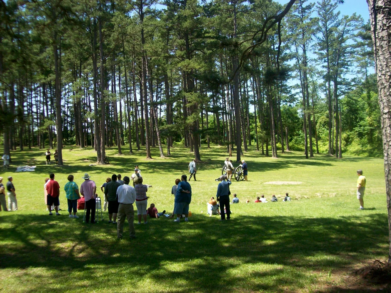
The North Carolina Department of Natural and Cultural Resources runs the state historic site today. A three-quarter-mile trail crosses the ground where the lines formed up. A replica three-pounder cannon, like the artillery Tryon used to break the Regulators, stands outside the visitor center. Archaeological work that began in 2009 has also revealed evidence of a March 5, 1781 Revolutionary War skirmish on the same ground - Delaware Light Infantry against Cornwallis's outriders, ten days before Guilford Courthouse - and of a Civil War-era encampment of the 3rd North Carolina Junior Reserve, who camped here in 1865 just before surrendering near High Point. The ground keeps absorbing wars. The Regulators' war, the one that started it all, lies under a quiet field of cool-season grass, marked by stones and the small bronze plaque that names the six men hanged for what they believed.
From the Air
Coordinates 36.0115 N, 79.5217 W, elevation roughly 660 feet, in rural Alamance County southwest of Burlington, North Carolina. The battlefield is open meadow surrounded by Piedmont hardwood, easy to spot from low altitude by the open clearing and the small cluster of visitor-center buildings. Nearest major airport is Piedmont Triad International (KGSO/PTI), 23 nm west. Burlington-Alamance Regional (KBUY), an uncontrolled field with a 6,400-foot runway, is 6 nm north. Raleigh-Durham (KRDU) lies 42 nm east. The site sits inside the Class E airspace below the PTI Class C; flight following recommended.
Nearby Stories
- Horace Williams Airport 3.5 km away
- Richard Childress Racing Museum 9.9 km away
- High Rock Lake 11 km away
- Haw River 11 km away
- Orange County Speedway 13 km away
- Chinqua Penn Plantation 20 km away
- Hanging Rock State Park 22 km away
- North Carolina Aviation Museum 24 km away