Chocolate Mountain Aerial Gunnery Range
There are places in California that appear on maps only as blank space, their boundaries marked by a warning rather than a welcome. The Chocolate Mountain Aerial Gunnery Range is one of them — 459,000 acres of Sonoran Desert set aside by the Marine Corps as a live-fire training ground, roughly 20 miles wide and 50 miles long, with 700 square miles of special-use airspace overhead. It is one of the largest military restricted areas in the western United States, and it exists in a landscape so remote and so harsh that the designation of it as a bombing range has not, in practical terms, changed its accessibility much.
War Practice in the Desert
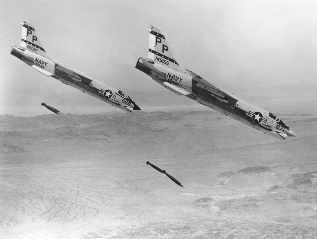
The range occupies the Chocolate Mountains, a rugged chain of dark volcanic ridges running northwest to southeast between the Salton Sea and the Colorado River. The mountains give their name to the range, and the range gives its name to the region — though few people outside the military and the off-road vehicle community have occasion to think about either. The Marine Corps uses the range for aerial weapons training, including air-to-ground strafing, bombing, and close air support exercises. Aircraft operating from Marine Corps Air Station Yuma, Marine Corps Air Station Miramar, and other installations in the Southwest use the range's controlled airspace and designated impact areas to practice the kinds of ordnance delivery that combat requires but peacetime prohibits most everywhere else.
The Scrapper Economy
In 2011, a documentary titled Scrapper examined the people who sneak into the Chocolate Mountain range to collect nonferrous metal — spent shell casings, scrap from aircraft pods and bomb components, wire, aluminum — and sell it. The practice is illegal and the risks are substantial: unexploded ordnance, military patrols, and the desert itself all pose dangers. But the scrap metal economy has operated in the fringes of military ranges throughout the American West for generations, drawing people who calculate that the risk is worth the return. The Chocolate Mountain range's remoteness makes it simultaneously dangerous to enter and difficult to police comprehensively. The documentary brought attention to a shadow economy that most Americans had no idea existed.
Wilderness in the War Zone
The Chocolate Mountains are not without natural value. The range includes desert bighorn sheep habitat, golden eagle nesting territory, and plant communities adapted to the extreme aridity of the Colorado Desert. The military's presence has, in an odd sense, protected parts of the range from the off-road vehicle use that has degraded comparable desert terrain elsewhere — access restrictions enforce a kind of involuntary wilderness preservation. This is a pattern repeated across military installations in the American West: the requirements of training, which demand vast empty spaces, inadvertently preserve ecosystems that would otherwise be accessible to development or recreational pressure. What the bombing has preserved by excluding people, it has also altered through impact and contamination.
Horizon Lines
From the air, the Chocolate Mountain range is defined by its restriction rather than its topography. Pilots navigating the low desert know these boundaries intimately — the precise coordinates where civilian airspace ends and special-use airspace begins, where the familiar concerns of air traffic control give way to the radio frequencies of military controllers. The dark ridges of the Chocolate Mountains rise above the surrounding desert with an abruptness that makes them visible from considerable distances. Below them, invisible from altitude unless you know where to look, the craters and impact marks of decades of practice accumulate on slopes that were old before the Marine Corps existed, in a desert that will remain long after the training moves on.
From the Air
The Chocolate Mountain Aerial Gunnery Range extends from approximately 33.1°N to 33.6°N and from 114.8°W to 115.4°W, encompassing the Chocolate Mountains east of the Salton Sea. From altitude the dark volcanic ridges are visible as a distinct mountain chain. The special-use airspace over the range is depicted on aeronautical charts and extends to high altitude. The Salton Sea is visible to the northwest. Blythe Airport (BLH) lies to the northeast; Imperial County Airport (IPL) is to the southwest.
Nearby Stories
- Brawley, California 8.5 km away
- Chuckwalla Mountains 11 km away
- Jacqueline Cochran Regional Airport 15 km away
- Carrizo Impact Area 15 km away
- Ocotillo Wells, California 22 km away
- Felicity, California 38 km away
- Camp Pilot Knob 65 km away
- Poston War Relocation Center 69 km away