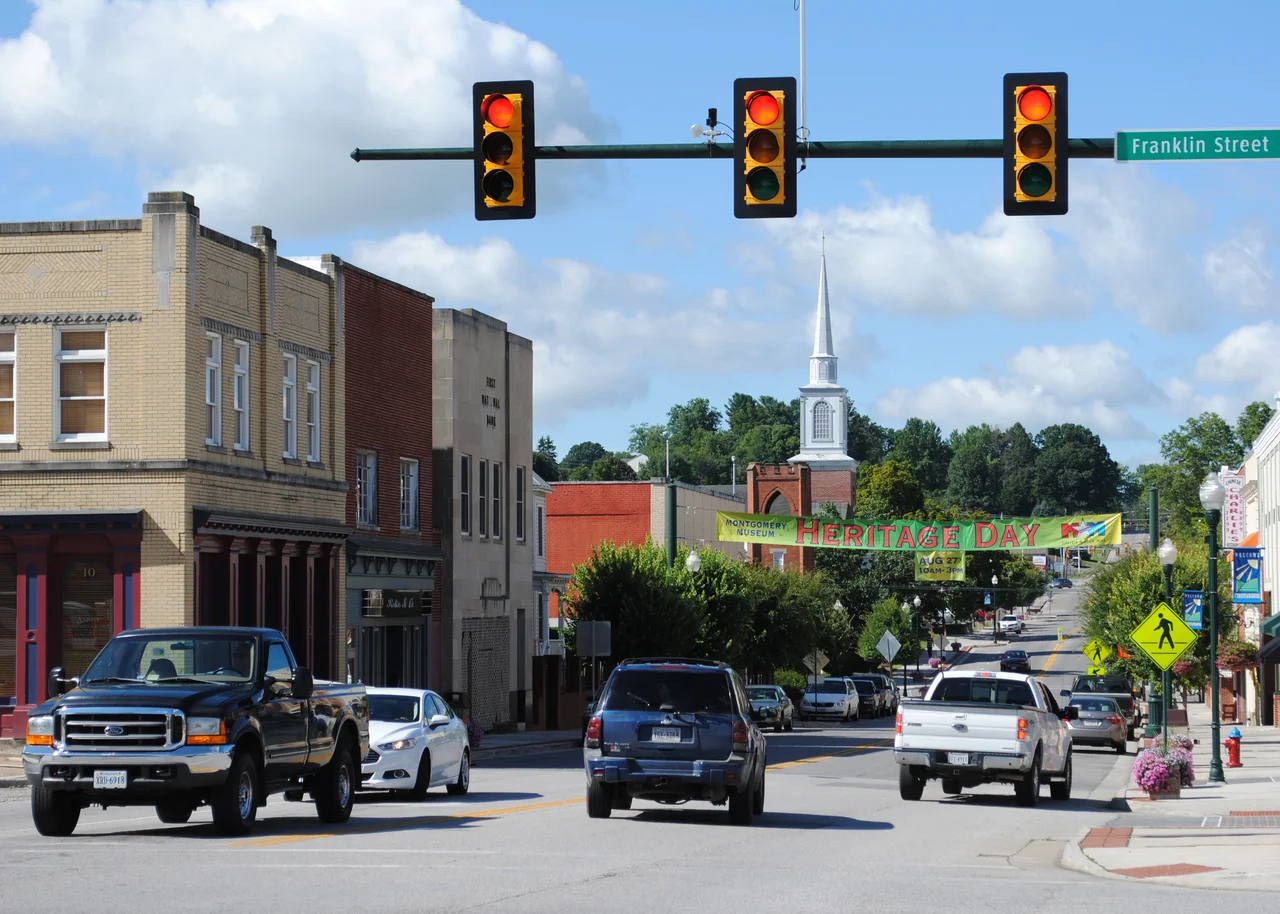

Christiansburg, Virginia
Daniel Boone was once arrested in Christiansburg. The warrant, dated 1774, was for an unpaid debt. The deputy sent to execute it marked the document with a single laconic phrase that has survived in the courthouse records: Not executed - Gone to Kentucky. Boone, true to form, eventually paid the debt. But the moment is a fair summary of what Christiansburg was in its first century: a place that famous people kept passing through, on their way to somewhere else.
Pioneers on the Great Wagon Road
The town grew up at the southwestern end of the Great Wagon Road - present-day US Route 11 - on the Eastern Continental Divide. From the founding hill, water on one side flows toward the Atlantic; on the other, toward the Gulf of Mexico. The settlement was first called Hans Meadow after Friar Hans, a Dutch priest who arrived in the late 1600s. In 1792, the Virginia General Assembly chartered the town as Christiansburg, after Colonel William Christian - brother-in-law of Patrick Henry. George Washington visited during the early years of settlement. Davy Crockett spent eighteen months working at John Snider's Hattery Shop on West Main Street, and a stint as apprentice to a local newspaper printer. William Clark, of Lewis and Clark, lived in the house that still stands at 109 E. Main Street - the Montague home. Lewis himself stopped through on occasion.
Christiansburg Institute
In 1866, Captain Charles S. Schaeffer of the Freedmen's Bureau founded the Christiansburg Normal Institute as a primary school for Black children, on Zion Hill between the town and the Cambria depot. The school did not stay small. Booker T. Washington served as its superintendent from 1896 until his death in 1915, and he was the one who pushed the curriculum to include both classical instruction and the industrial trades, on the same model he had built at Tuskegee. The school moved to Lattimer Plantation in 1898 and grew to 14 buildings on 185 acres. George Washington Carver and other Tuskegee faculty visited. By the early 20th century, the Christiansburg Industrial Institute was the first Black high school in southwestern Virginia and the first high school in Montgomery County to receive accreditation. It remained in operation as a segregated high school until desegregation closed it in 1966.
The Duel of 1808 and the Civil War
On May 9, 1808, downtown Christiansburg hosted the Lewis-McHenry Duel - a rifle duel between Thomas Lewis and John McHenry that killed both men. The attending surgeon was Dr. John Floyd, who would later become governor of Virginia. The killings led directly to the Barbour Bill of 1810, which outlawed dueling across the Commonwealth. During the Civil War, many local men served in Stonewall Jackson's army in the Shenandoah Valley. Union General W.W. Averell raided the town several times, and in 1864 the Union Army burned all of the Christiansburg Depot structures except the passenger station itself. Near the war's end, Union General George Stoneman set up headquarters in the same house on East Main Street where William Clark had once lived - and it was here that his men received the news of Robert E. Lee's surrender at Appomattox.
Fires of the 1950s, Growth Today
The 1950s nearly burned Christiansburg out of business. Roses' 5 and 10 and Cavalier Furniture both burned in 1954. A single 1956 fire consumed the City Market, Royal Cafe, Smith and Jones, Jennings Barber Shop, and Interiors by Richard. 1957 took Simmons Shoe Shop, the Blue Moon Lunch, and the rebuilt Jennings. By 1965 the depot district, then incorporated as the separate town of Cambria, had lost so many taxpaying businesses that it asked to be absorbed back into Christiansburg. Today, the population is 23,348 and growing. The Uptown Christiansburg mall (formerly New River Valley Mall) and a tangle of big-box retail along US 460 make this the regional commercial hub. The Starlite Drive-In, which opened in 1953, is still in operation - one of the few survivors of an entire American genre.
Eastern Continental Divide
The town's geography is the unifying fact. Christiansburg sits at the crossroads of three major highways - I-81, US 460, and US 11 - because it has always been a crossing point on the divide. From the top of Christiansburg Mountain on the eastern edge of town, rain rolls east into the Roanoke River and onward to the Atlantic; rain rolling west joins the Little River, which slides into the New River below Claytor Lake Dam, then to the Kanawha, the Ohio, the Mississippi, and finally the Gulf. The cross-continental divide is marked at the courthouse. Most days you can stand on it and watch the rain fall in two directions at once.
From the Air
Christiansburg sits at 37.141 N, 80.408 W on the Eastern Continental Divide in southwestern Virginia, at about 2,100 feet elevation. Look for the broad commercial sprawl along US 460 and I-81 (the Interstate 81 corridor cuts the southern edge of town), with Christiansburg Mountain rising on the east side. Blacksburg lies immediately north. Nearest fields: Virginia Tech Montgomery Executive (KBCB) about 5 nm northwest; Roanoke-Blacksburg Regional (KROA) about 25 nm northeast. The Eastern Continental Divide marker sits near the historic downtown courthouse.
Nearby Stories
- Botetourt County, Virginia 12 km away
- Murders of Alison Parker and Adam Ward 13 km away
- Paint Bank, Virginia 16 km away
- 2004 Hendrick Motorsports Aircraft Crash 26 km away
- Appalachian League 27 km away
- Galax, Virginia 28 km away
- Hargrave Military Academy 37 km away
- Beckley, West Virginia 47 km away