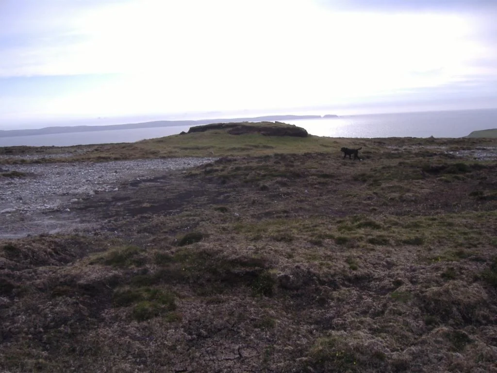

Cill Ghallagáin
In the mid-1970s, a researcher named Seamas O Cathain sat down with an elderly fisherman in a small townland on the Atlantic coast of County Mayo and asked him to list the local place-names. The fisherman was Sean O hEiniri, a monolingual Irish speaker who had spent his whole life on this patch of bog and cliff. He named eight hundred. Eight hundred names for fields, rocks, caves, coves, bog holes, hollows, springs, slopes, and stones, all within an area of 852 acres. Each name carried a story or a memory or both. When the book was finally published, it became one of the most extraordinary documents of Irish microtoponymy ever assembled, a private map of a private world that almost slipped away with the man who knew it.
The Cairn by the Bay
In the graveyard at Cill Ghallagain, near the beach at Broadhaven Bay, stands a large mound that has never been excavated. Local tradition holds that it covers the remains of an early Christian church founded by St Galligan, the saint who gave the townland its name. Galligan is said to be buried inside the cairn itself. Each year on 14 August - the eve of the saint's feast - pilgrims walk to a holy well nearby. An 1830s surveyor described the mound as a pyramid built from accumulated burials, its surface studded with headstones and small crosses. Samuel Lewis, writing in 1837, called it the ruins of a monastery. No archaeologist has ever opened it. The folk memory and the soil keep their secret together.
The Pirate Queen's Husband
In 1580, the second husband of Grainne O'Malley - the pirate queen of Connacht - is believed to have owned the promontory fort called Doonaniron, just along this stretch of coast. Richard Burke held large tracts of land along the north-western edge of Erris, and his marriage to O'Malley was one of those Gaelic alliances that combined ships, land, and politics in a single bed. The fort had a lofty enclosing wall and a large arched gateway, an imposing structure for a remote coastline. The great gale of January 1839 brought the gateway down. The walls beyond it slowly followed. The place where one of Ireland's most famous outlaws may have lived is now an outline in turf, visible only to those who know what they are looking at.
Sean O hEiniri
Sean O hEiniri died in 1998, the last in his generation of monolingual Irish speakers in this part of Mayo - a man who lived his entire life through one language, in one townland, in one set of place-names handed down by his neighbours and his parents. He was a seanchai, a traditional storyteller, and his memory held not just the names of fields but the tales attached to each. Why one rock was called what it was called. Which ghost walked which lane. What happened, generations ago, in a particular hollow. When the folklorists came, he gave it all to them in patient Irish, sitting in his own house, holding the landscape together in his mind. A culture is not always saved by institutions. Sometimes it survives because one person refuses to forget.
The Famine and the Sheep
During the Great Famine the area was devastated. People died in numbers Erris would never replace. In November 1850, with the worst still recent, the postmaster of Bangor Erris - a man named Robert Savage - wrote to Dublin Castle reporting that eighteen of his sheep at Cill Ghallagain had been killed and others injured. The police investigated and found no truth in the claim. What Savage actually wanted was a police barracks built on his land. He hoped to establish a fishing industry there but described his neighbours as wild and disturbed, and would not invest without protection. The barracks was never built. The fishing industry never came. The townland, in Samuel Lewis's words, remained unrivalled in beauty and grandeur and very nearly empty of people.
Kid Island
Off the northern coast lies Kid Island, thirty-two acres of cliff rising 311 feet above the Atlantic. In summer the islanders' descendants still graze sheep there, ferried across when the weather allows. The cliffs themselves carry striped pink and orange gneiss - rocks of staggering antiquity that were once joined to the eastern coast of Canada and were separated only when the tectonic plates of the mid-Atlantic split them apart over hundreds of millions of years. Stand on the headland at Cill Ghallagain on a clear day and you can see the island, the sheep, the cliffs, and beyond them the open ocean where the next landfall is North America. This is the western edge of Europe. Past Kid Island, there is nothing for three thousand kilometres.
From the Air
Cill Ghallagain sits at 54.314 N, 9.817 W on the Atlantic coast of north County Mayo, in the Dun Chaochain peninsula of Kilcommon parish. The nearest airport is Ireland West Airport Knock (EIKN), about 90 km south-southeast - a meaningful drive over bog roads. From 2,500 feet on a clear day, the patchwork of small fields gives way abruptly to the cliffs at the coast, with Kid Island just offshore and the Stags of Broadhaven visible to the east. This is exposed Atlantic airspace - low cloud, swift weather changes, and strong westerlies are the norm. Plan for the rare clear morning.
Nearby Stories
- Inishkea Islands 11 km away
- Newport, County Mayo 12 km away
- Swinford 13 km away
- Easky 13 km away
- Glencolmcille 36 km away
- Inishbofin Island 39 km away
- The Laki Eruption: The Volcano That Changed World History 1156 km away