
Civil War Defenses of Washington
On July 11, 1864, Confederate troops under Jubal Early appeared on the Seventh Street Road and skirmished at Fort Stevens, a Union earthwork on the northern edge of Washington. The following day, July 12, President Abraham Lincoln, in a stovepipe hat, watched the fight from the parapet - the only sitting U.S. president ever to come under enemy fire in combat. The Confederates pulled back that same day. The ring of forts had held. By the war's end the Union had built 68 enclosed forts around Washington, 93 prepared but unarmed batteries for field guns, seven blockhouses, 20 miles of rifle pits, and 30 miles of military roads connecting them. None was ever captured. Most were torn down within months of Appomattox. The earthworks that survive - softened by 160 years of grass and oak - form one of the densest concentrations of Civil War fortification anywhere in the country.
Seized Ground
The forts were almost all built on private land taken by the Army at the start of the war. Most of the owners never recovered the income they lost during the four years of military occupation. Records from the building of Fort Slemmer note that the 24-acre plot belonged to Henry Douglas, a florist; the Army destroyed his flowers, his 1,970 fruit trees, his vines and bushes - the working stock of his trade - to clear ground for the earthworks. The land for Forts Chaplin and Craven was seized from Selby B. Scaggs, a Maryland farmer who owned 400 acres worth $52,000. The 1860 Census Slave Schedule recorded that Scaggs enslaved sixteen people on that land. Fort Stevens itself stood partly on land owned by the Emory Methodist Church and partly, according to longstanding local accounts, on land owned by Elizabeth Thomas, a free Black woman whose house was demolished to make way for the parapet. Documentation of Thomas's ownership was never recovered, but her story is part of the local memory of the site.
Temporary by Design
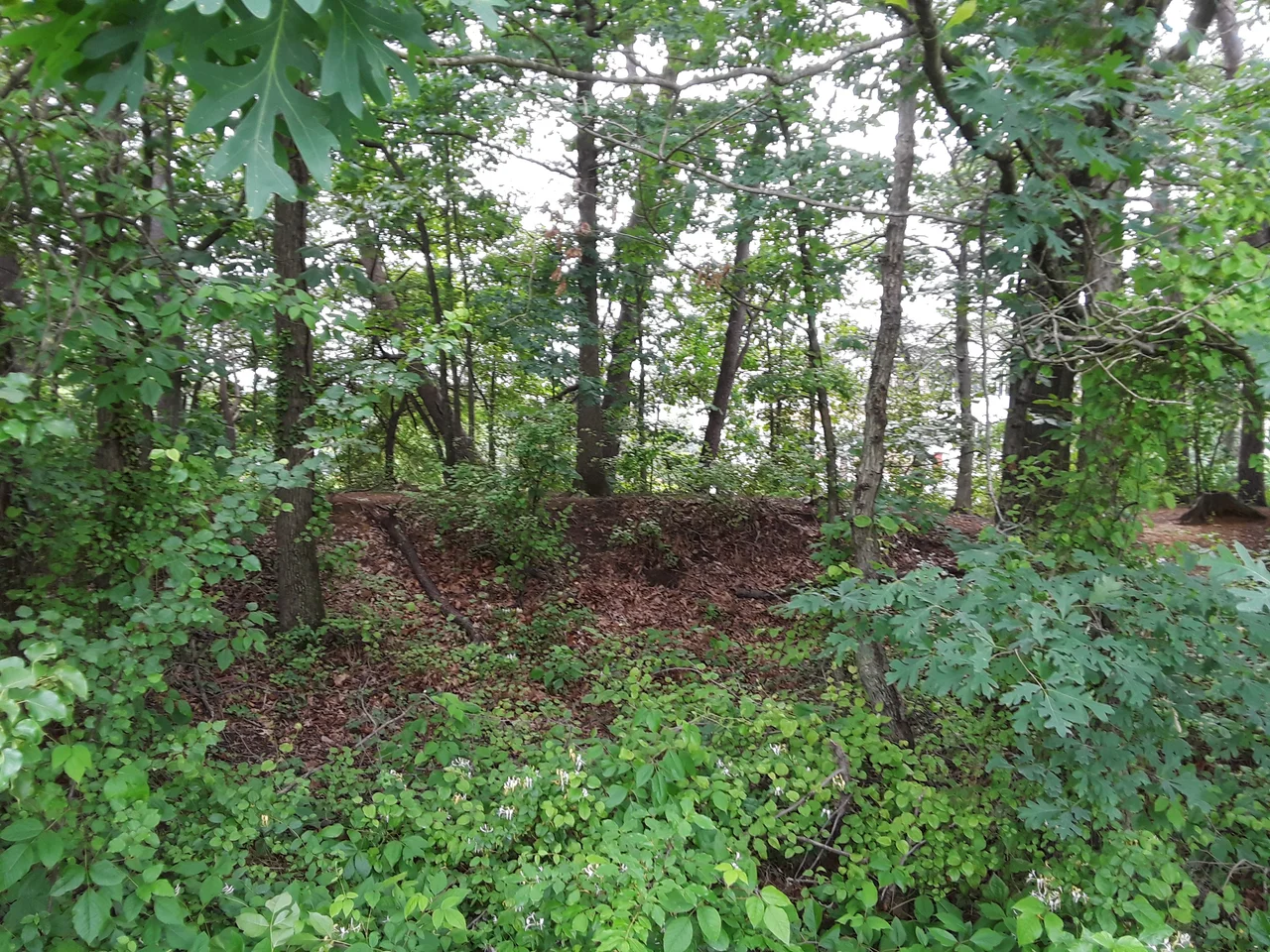
The forts were not meant to last. They were earthen embankments revetted with timber, surrounded by trenches, fronted by abatis - sharpened tree branches projecting outward as anti-personnel barriers. Only the largest had any masonry. The Army was clear from the start that the land would be returned to its owners after the war and the works would be dismantled. That happened quickly. Most of the 68 forts were abandoned in 1865 and 1866. The earthworks slumped, the timber rotted, and the trenches filled with leaves and silt. The land, often along ridges that commanded views of the river approaches, sometimes became farmland again and sometimes was subdivided into the suburban neighborhoods that pushed out from the old city limits in the late nineteenth century. A few sites were never fully cleared. Their grass-covered profiles still trace polygonal patterns on the hilltops where artillery once pointed outward.
The Fort Drive That Wasn't
In 1898 someone proposed connecting the surviving fort sites by a parkway. The idea kept coming back. In 1919 the District Commissioners pushed Congress to consolidate the old forts into a Fort Circle - a green ring of parks outside the city, owned by the federal government and linked by a Fort Drive that would let Washingtonians escape into countryside that was disappearing fast. The 1919 bill failed. A 1925 version passed, creating the National Capital Parks Commission and authorizing the slow purchase of fort land back from private owners. Fort Stanton was bought in 1926 for $56,000. Through the 1930s the Civilian Conservation Corps trimmed trees, cleared brush, and built structures at the parks. World War II interrupted construction. Postwar budget cuts under Truman delayed the Fort Drive again. By 1963, when Kennedy briefly pushed Congress to finally build the ring road, Washington had simply grown past it, and the surface streets already connected the parks in their own way. The Fort Drive was quietly dropped and replaced by a hiking trail.
What Survives Today
Today the forts are scattered across three National Park Service units. National Capital Parks-East administers Fort Foote, Fort Greble, Fort Stanton, Fort Ricketts, Fort Davis, Fort DuPont, Fort Chaplin, Fort Mahan, and Battery Carroll. Rock Creek Park administers Fort Bunker Hill, Fort Totten, Fort Slocum, Fort Stevens, Fort DeRussy, Fort Reno, Fort Bayard, Battery Kemble, and Battleground National Cemetery - the small cemetery where the 41 Union soldiers killed defending Fort Stevens are buried. Fort Marcy across the Potomac in Virginia is administered by the George Washington Memorial Parkway unit. A 19.5-mile trail connecting many of the sites was designated a National Recreation Trail in 1971. In 2024 legislation was proposed to combine the forts into a single national historical park; the Park Service opposed the change, preferring the existing distributed administration.
Walking the Ring
What you actually see at the surviving sites varies. At Fort Stevens, the parapet has been partially reconstructed and a marker indicates where Lincoln stood under fire. At Fort Reno, the highest natural point in Washington at about 409 feet, the earthworks are mostly gone but the park retains the open ground that once held a 20-acre fortification, 50 more acres of barracks, and the headquarters of multiple commands. At Fort DeRussy, deep inside Rock Creek Park, the magazine bunker is partially visible beneath thick woods. The earthworks are easy to miss if you don't know what you're looking at. Many of them survive as low grassy ridges threading through neighborhoods that grew up around the forts after the war. They are the trace of the country's first modern siege defense, built in a hurry and torn down almost as quickly, recoverable now only because the land was eventually pulled back from private hands and made into a ring of parks - even if the road that was supposed to connect them never got built.
From the Air
The Civil War Defenses of Washington form a rough circle approximately 12 to 15 miles across, centered on the National Mall (38.89 N, 77.04 W). Surviving forts ring the city from Fort Marcy in McLean, Virginia, around through Fort Reno in northwest D.C., Fort Stevens on the north, Fort Totten and Fort Slocum on the northeast, Fort Stanton and Fort DuPont on the southeast, Fort Greble and Fort Foote near the Potomac, and the Arlington Line forts along the river's west bank. The complete ring sits inside the Washington Special Flight Rules Area and most of the inner ring sits inside the Flight Restricted Zone. From altitude, the green wedges of Rock Creek Park and Fort DuPont Park trace much of the original defensive perimeter.
Nearby Stories
- Reston, Virginia 1.7 km away
- Thomas Viaduct 9.2 km away
- Monocacy Aqueduct 9.7 km away
- Stafford County, Virginia 26 km away
- Harriet Tubman Underground Railroad 28 km away
- Gunston Hall 30 km away
- Adkins Arboretum 31 km away
- Bombay Hook National Wildlife Refuge 71 km away