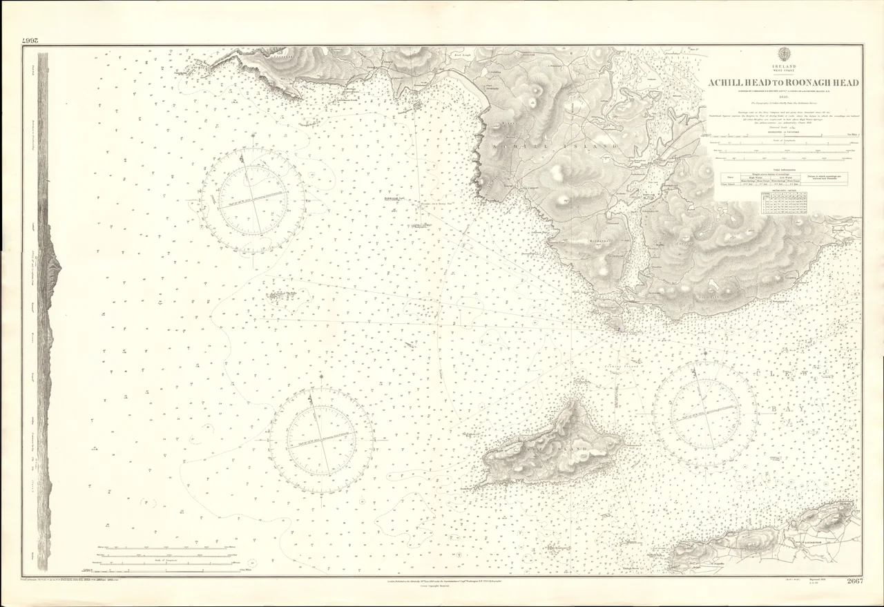

Clare Island
Grainne Ni Mhaille - Grace O'Malley, the pirate queen - was almost certainly born on Clare Island around 1530. She held its harbour from a tower house on the east coast, kept her fleet anchored in its shelter, was probably baptized and married in its small Cistercian abbey, and tradition holds that she lies buried beneath a canopied tomb in that abbey's nave. Four hundred years later, the island is still one of those places where the past is not exactly past - the tower stands, the abbey stands, and the same Atlantic that carried Granuaile's galleys still rolls into the long sweep of Clew Bay.
Eight Miles Out
Clare Island sits in the mouth of Clew Bay, about eight kilometres off the County Mayo coast - the largest island in the bay, with a single mountain (Knockmore, 462 metres) rising abruptly out of the sea on its western side. The island measures about eight kilometres east to west and four kilometres north to south, with a small harbour on the southeast corner where the ferry from Roonagh Quay lands. From the top of Knockmore, the view sweeps north to Achill Island, south to Croagh Patrick, west to Inishturk and the open Atlantic, and east across Clew Bay to the small drumlins that legend says number one for every day of the year. The view is one of the great views of Ireland.
The Armada Wreck
In the autumn of 1588, the surviving ships of the Spanish Armada were scattered around the coasts of Britain and Ireland by storms after their defeat in the English Channel. One of those ships came ashore on Clare Island. The crew, weakened by weeks at sea, faced what was then standard practice on the Mayo coast for shipwrecked Spaniards: the O'Malleys killed them. It was not personal. The Spanish were, in Tudor terms, allies of the wrong faction in Ireland's complex politics, and a coast that lived partly by salvaging wrecks did not, in 1588, draw sharp distinctions between hostile and friendly survivors. The wreck site has never been definitively identified.
Granuaile's Strongholds
Grace O'Malley's authority on this coast was anchored in three tower houses: Granuaile's Castle on the east shore of Clare Island, Carrickkildavnet Castle on Achill, and Rockfleet Castle further into Clew Bay. From these she ran a maritime operation that included trade, fishery protection, mercenary services, and the kind of selective piracy the English crown found increasingly intolerable. In 1593 she sailed to London and met Queen Elizabeth I directly - one of the iconic encounters of the Tudor century, two formidable women in their sixties negotiating the future of Mayo. Granuaile's Castle on Clare Island was later converted into a police barracks in the 1820s, when its bartizans were given their distinctive purple slate flashing.
The Lighthouse and Its Optic
John Denis Browne, the 1st Marquess of Sligo, established the Clare Island Lighthouse in 1806. The original structure suffered both a fire (29 September 1813, careless disposal of oil-lamp wicks) and a lightning strike (1834); the rebuilt version served until 28 September 1965, when the new lighthouse on Achillbeg took over its duties. The Clare Island light has been refurbished as an upmarket guesthouse, while its original optic - a large rotating Fresnel lens - is on permanent display at the World of Glass museum in St Helens, England. The optic still rotates there, slowly and silently, casting the same patterns it once cast across the night water off Clare Island.
The Survey
Between 1909 and 1911, the Belfast naturalist Robert Lloyd Praeger led an exhaustive biological survey of Clare Island - mapping every plant, animal, mollusc, and lichen on the island and in the surrounding waters. The Clare Island Survey was unprecedented at the time and has served as a template for ecological survey work ever since. Between 1992 and 2022 a second, even more thorough survey was conducted, the results published in multiple volumes by the Royal Irish Academy; it is reputedly the only repeat survey of its kind in Europe, and it has become a key dataset for measuring the effects of climate change on a single coastal ecosystem. Three species of freshwater red algae are recorded from Clare Island, including the wonderfully-named Lemanea fucina Bory.
Living There Now
The island has a primary school, a post office, a community of about 150 permanent residents, and the kind of summer rhythm that brings hikers, divers, and festival-goers across on the ferry. The Clare Island Film Festival has run annually since 2014. The Saw Doctors wrote a song called Clare Island on their 1996 album Same Oul' Town, describing the place as a haven from city life; Bob Quinn set his 1987 film Budawanny here and shot a documentary in 1966. Michael Morpurgo set The Ghost of Grania O'Malley on the island. Clare Island makes its way into Irish cultural memory at intervals, and it absorbs the attention without much changing its rhythm. The Atlantic does what it does. The ferry runs when the weather allows.
From the Air
Clare Island lies at 53.802°N, 9.986°W, at the mouth of Clew Bay. Best viewed from 2,500-5,000 feet AGL, with Knockmore (462 m) rising on the western side, Achill Island to the north, and Croagh Patrick (764 m) clearly visible to the southeast across the bay. The harbour is on the southeast corner. Ireland West Airport Knock (EIKN) is about 50 nm to the east. Approach from the south for the best view of the island's western cliffs.
Nearby Stories
- Tully Cross 4.6 km away
- Binghamstown 6.7 km away
- Lough Mask Murders 6.8 km away
- Aughagower 13 km away
- Ballycastle, County Mayo 18 km away
- Action of 7 May 1794 36 km away
- RMS Carinthia (1925) 45 km away
- Inishtooskert 194 km away