_(2).jpg)
Clydach Gorge
Smart's Bridge, a cast iron span over the River Clydach, has the year 1824 cast directly into its iron. It is one of the oldest cast iron bridges anywhere in the world, and it is still here, still bridging, still doing its job. That detail tells you something important about the Clydach Gorge. This 5.6-kilometre slice down through the eastern edge of the South Wales Coalfield was one of the first places in Britain to industrialise, and it never quite stopped being industrial, but it also never lost its trees. Iron, lime, coal, charcoal, water, railways, tramroads, turnpikes, modern dual carriageway: every layer is here, often stacked one on top of the other, all of it inside the Brecon Beacons National Park.
Geography in a Hurry
The Clydach Gorge is steep. Really steep. The A465 Heads of the Valleys road, the modern trunk road that climbs through it, holds a gradient of 1 in 20 for 4 kilometres straight, gaining 210 metres of elevation between Gilwern at the foot and Brynmawr at the head. That climb tells you what makes the gorge geologically interesting: the River Clydach has cut a sharp, narrow defile down through the limestone and sandstone of the coalfield's northeastern rim, dropping rapidly toward the broader, gentler Usk Valley. It is included within the Brecon Beacons National Park, but it is the kind of national park geology that goes vertical. Waterfalls. Wooded slopes that fall away below you. The Rhaeadr Isaf waterfall in spate is a small spectacle. And along these contours, in the 1790s, the industrial pioneers came.
Iron in the Sixteenth Century
The Hanbury family of Pontypool, the same Hanburys who would later run the tinplate works that defined the area for centuries, built a furnace and forge in the Clydach valley as early as the 1500s. Their site has almost vanished now, leaving only fragments of a masonry dam where a pool once provided water power. They made wrought iron from cast iron, using charcoal as their fuel, and at one point they ran a tinworks here too. Then came coke. Once Abraham Darby's coke-fired smelting spread, the calculus changed. Between 1793 and 1795 the Clydach Ironworks rose just up the valley, built specifically to exploit the new technology and the local coal that could be coked. By 1841 the works employed more than 1,350 people, many of them up the valley quarrying iron ore, limestone, and coal. Sir Bartle Frere, later the colonial administrator who governed Bombay and the Cape, was born in Clydach House in 1815, son of the family that ran the works.
Ribbons of Stone Track
Long before the Clydach Ironworks needed a proper railway, it needed something. What it got was a thicket of horse-drawn tramroads that still survives in fragments along the gorge. The Clydach Railroad of 1793-94, engineered by John Dadford, linked the Wain Dew colliery at Beaufort with Glangrwyne Forge on the Usk. The Llam-march Tramroad of the same years, engineered by Thomas Dadford, ran iron and coal between the works and the deposits up at Gellifelen. The Govilon Tramroad came in 1821, engineered by Crawshay Bailey, linking the Bailey ironworks at Nantyglo down to the Monmouthshire and Brecon Canal at Govilon. Most surprising of all is the Llam-march Aqueduct Bridge of 1811, which carried water from the Clydach to the ironworks' rolling mill while also carrying tramway wagons across the gap. Smart's Bridge, the 1824 cast iron span, linked the Clydach Railroad into the works. Stand on it now and the lichen does not quite cover the date.
Stone for the Furnaces
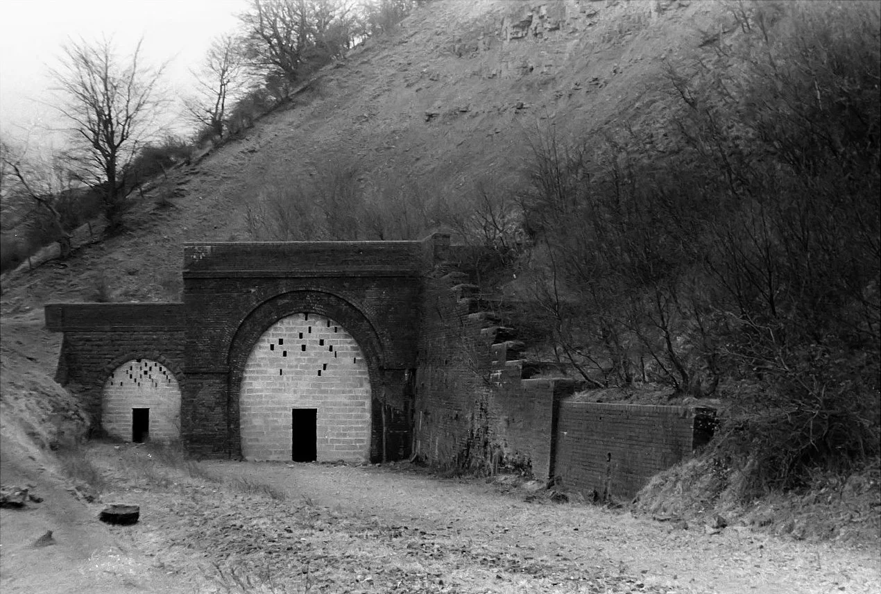
Iron needs lime. Lime burns out the silica impurities in the smelt, and a 19th-century blast furnace consumed it by the wagonload. So the gorge also became a limeworks. Blackrock Limeworks started in 1794-95 alongside the early ironworks, quarrying along the contours above Clydach North, and the masonry kilns are still standing where the workers left them in 1908. Llanelly Limeworks supplied the Clydach Ironworks for decades and survived even when the ironworks did not, finally closing in 1962. Two pairs of limekilns stand against the dramatic quarried backdrop at Clydach Limeworks, built in 1877 specifically to make lime for the construction of the Nant Dyar railway viaduct. Each set of kilns marks a particular industrial purpose, a particular decade, a particular crew of men whose names have been mostly forgotten.
Roads, Rails, and a Cycleway
The Merthyr Tydfil to Govilon Turnpike was the gorge's first proper road, authorised by Parliament and laid through the valley in 1812-13. The Merthyr, Tredegar and Abergavenny Railway followed in 1862, requiring tunnels and a great curving viaduct across the Nant Dyar ravine. The London and North Western Railway absorbed it four years later and doubled the line in 1877. The last passenger train ran in June 1958 when British Railways gave up on the route. Most of the trackbed has now become Route 46 of the National Cycle Network, and walkers and cyclists pass through old railway tunnels and over the viaduct that engineers cursed when they had to build it. The A465 came in 1962 on a new alignment that involved cutting concrete pillars into the gorge wall to hold the road out over thin air. Dualling work began in 2015 and finished in 2021. Below the modern road, the old tramroad bridges still arch above the river. Above it, the limestone cliffs still hold cave systems that draw cavers from across Britain. Three centuries of human attempts to climb this gorge are visible from the bottom, if you know where to look.
From the Air
51.812°N, 3.122°W, running west to east from Brynmawr to Gilwern along the northeastern rim of the South Wales Coalfield. Recommended viewing altitude 3,500-5,000 ft AGL to see the gorge's steep slot cut into the limestone scarp with the A465 dual carriageway switchbacking up its length. The gorge sits inside the Brecon Beacons National Park; the broader Usk Valley opens to the east. Nearest airports: Cardiff (EGFF) approximately 32 nm south-southwest, Bristol (EGGD) 32 nm southeast. Mountain weather is changeable; expect cloud caps on Mynydd Llangatwg to the north and occasional rotor turbulence in strong westerlies.
Nearby Stories
- Ewenny Priory 4.1 km away
- Tower Colliery 5.3 km away
- British Camp 8 km away
- Berkeley Castle 8.8 km away
- Hay Castle 11 km away
- Clevedon Pier 11 km away
- Royal Victoria Park 15 km away
- Strata Florida Abbey 35 km away