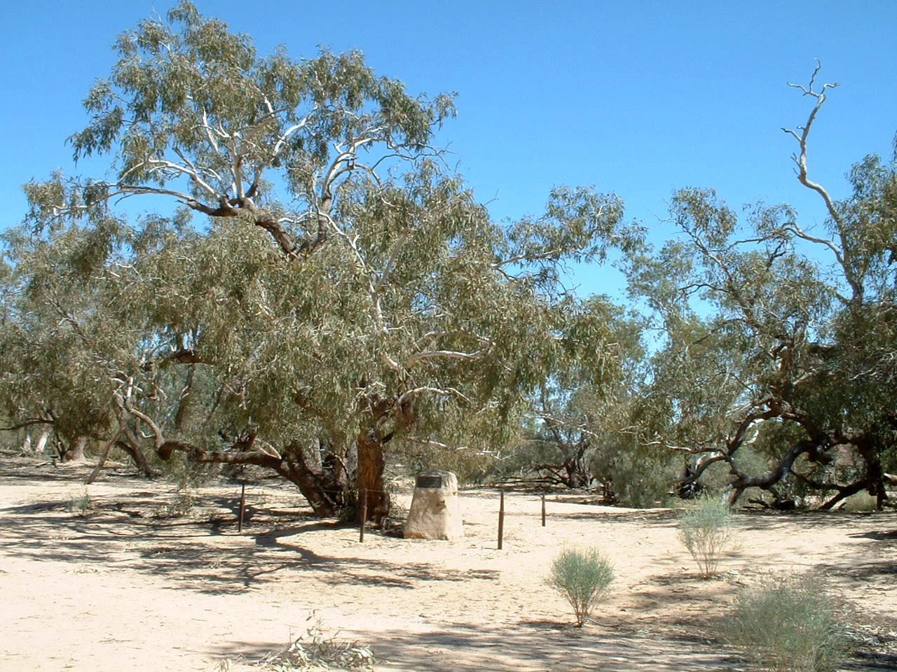

Cooper Creek
Cooper Creek is a river that flows on a rumour. Its water depends on monsoon rains that fall months earlier and hundreds of kilometres away in the Queensland highlands, then take their time wandering down across the Channel Country to arrive - or not arrive - in the far reaches of South Australia. Most years it never makes it to Lake Eyre at all, vanishing into sand, soaking into cracked clay, pooling in waterholes that the local people have relied upon for countless generations. It is a river of feast and famine, and in 1861 it became the stage for one of the most haunting episodes in Australian history: a place where outsiders died of starvation in a land where the people who belonged to it knew exactly how to live.
The River That Runs Backwards
Charles Sturt named the watercourse in 1845 for Charles Cooper, the Chief Justice of South Australia, but its hydrology defies tidy naming. It rises in central Queensland as two separate rivers - the Thomson and the Barcoo - which join to form what everyone insists on calling a creek, in what is believed to be the only case on Earth of two rivers flowing into one. From there it fans out into a maze of braided, anastomosing channels, threading south and then west through the Strzelecki, Sturt Stony and Tirari Deserts. In a big wet, the Cooper can swallow the whole Channel Country: upstream of Windorah the floodwaters have spread as wide as forty kilometres, and in 1940 the creek was measured at more than twenty-seven miles across in places. Then the sun returns, the water withdraws into its waterholes, and the desert closes over the memory of the flood.
A Camp on the Cooper
In 1860 the Victorian Exploring Expedition, led by Robert O'Hara Burke and including the surveyor William John Wills, set out to cross the continent from south to north. They made Cooper Creek their forward base. From here Burke, Wills, John King and Charley Gray pushed to the northern coast and back in a brutal dash, only to straggle into the Cooper depot in April 1861 - hours after the support party, having waited months, had given up and departed that very day. What followed was a slow catastrophe of exhaustion and bad decisions. Gray had already died on the return. Burke and Wills, weakening fast, made their last camps along the creek. By the end of June 1861, both were dead - undone by a land they had crossed but never learned to read.
The People Who Knew How to Live
The Yandruwandha had lived well along Cooper Creek for thousands of years, and they did not let the strangers simply perish. They shared fish, and they gave the explorers nardoo - a fern whose spore-cases they ground into flour. Here lay the cruel hinge of the whole tragedy. Raw nardoo carries an enzyme that destroys vitamin B1, and the Yandruwandha knew to process it carefully to render it safe; Burke and Wills, eating it without that knowledge, were slowly starving even as they filled their stomachs, killed by a food their hosts ate in perfect health. When Wills could go no further, the Yandruwandha cared for him. After Burke and Wills died, they took the lone survivor, John King, into their community and kept him alive for some three months, treating him - in his own grateful words - as one of their own, until a rescue party reached him in September 1861. Their generosity is the part of the story that the monuments too often forget.
What the Cattle Brought
The reliable waterholes that had sustained the Yandruwandha drew others soon enough. Within a decade of the explorers' deaths, homesteads appeared along the creek; the station at Innamincka became the first permanent European settlement in the district. By 1880 the whole watercourse had been taken up and stocked with cattle, and the people whose knowledge had once meant the difference between life and death were pushed from the country they had read so fluently. The toll was devastating: by 1900, introduced diseases like influenza and measles had reduced the local population to around thirty - barely a tenth of what it had been. The Cooper still floods and still fails, still feeds its catfish and its waterbirds, still spreads its impossible width across the desert in a good year. But its deepest lesson is the one written in 1861: that survival here was never about conquering the land, only about knowing it - and that the people who knew it best were the ones already there.
From the Air
Cooper Creek crosses the remote border country of south-west Queensland and north-east South Australia; the coordinates 28.38°S, 137.68°E fall in its lower reaches in the Far North, on the approach toward Lake Eyre. From the air the creek is unmistakable in flood - a sprawling silver web of braided channels and waterholes threading across otherwise bare desert, sometimes tens of kilometres wide; in dry times it reads as a chain of dark, tree-lined waterholes strung through red dune fields. Innamincka (ICAO YINN) is the key airstrip on the creek to the east, near the historic Dig Tree; William Creek (YWMC) and Marree (YMRE) lie to the west and south-west toward Lake Eyre. The terrain is flat and offers few landmarks between watercourses, so the creek line itself is a primary navigation reference. Expect strong heat shimmer and dust haze in the dry season; visibility is otherwise excellent. Recommended viewing altitude 1,500-3,500 ft AGL to trace the channel network.
Nearby Stories
- Kalamurina Sanctuary 41 km away
- Killalpaninna Mission 45 km away
- Lake Eyre 46 km away
- Cowarie Station 49 km away
- Strangways Springs 76 km away
- William Creek 91 km away
- Indigenous Australian Culture 117 km away
- Ediacara Hills 140 km away