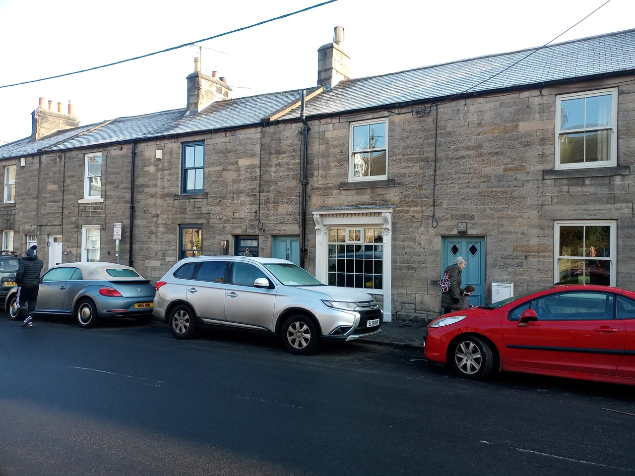

Corbridge
Walk through Corbridge's streets and you are walking over Rome. The stones in the parish church walls were once Hadrian's Wall. The arch above the chancel was salvaged from a Roman building. Even the village name carries the memory of Coria, the bustling supply town and garrison hub that the Romans planted here in the AD 80s, the northernmost town in their entire empire. Most English villages have a past. Corbridge sits on top of one.
The Most Northern Town in the Empire
Coria stood at the junction of two of Roman Britain's most important roads, the east-west Stanegate and the north-south Dere Street. The first fort went up around AD 85, and by the middle of the second century the soldiers' camp had grown into a proper town with two walled military compounds, granaries, workshops, and a forum that was never quite finished. Garrisons stayed until Rome itself withdrew from Britain. The site has yielded extraordinary finds. The carved Corbridge Lion, captured mid-pounce on its prey, once decorated a fountain. The Corbridge Hoard, packed into a wooden chest and buried for safekeeping, preserved an entire suit of Roman segmented armour, the most complete ever found. Rudyard Kipling, who knew the ruins, used Corstopitum as the model for the wall town of Hunno in Puck of Pook's Hill.
A Church Built from a Wall
Saint Andrew's parish church, consecrated around 676, is supposed to have been founded by Saint Wilfrid at the same time he built Hexham Abbey four miles to the west. The masons did not quarry new stone. They walked north to Hadrian's Wall and helped themselves. The result is a Saxon church studded with reused Roman blocks, including a complete Roman archway repurposed as the tower arch inside, lifted whole from the ruined town next door. A Norman doorway came later. A lychgate was added after the First World War. The most recent addition is purely modern: glass entrance doors etched in memory of a parishioner named Ella Atkinson, donated by her son Rowan, whom most of the world knows as Mr Bean and Blackadder.
Watching for Reivers
Between 1300 and 1700, Corbridge sat in raiding country. The border between England and Scotland was less a line than a zone, and the Border Reivers, raiders on both sides, made a profession of cattle theft, arson and ransom. Villagers learned to bring livestock inside the houses at night and post watches at each end of the street. Three fortified vicarages survive in all Northumberland, and one of them stands in the south-east corner of Corbridge's churchyard. The Vicar's Pele has walls four feet thick, designed to keep a clergyman alive long enough for help to arrive. The current seven-arched stone bridge across the Tyne was built in 1674, replacing earlier crossings that the river kept washing away.
Layers Above the Romans
Corbridge Low Hall dates from the late 13th or early 14th century, with one end converted to a pele tower for defence in the 1400s. The Town Hall, designed by Frank Emley, opened in 1887. Up on Prospect Hill, fine Victorian mansions went up after the railway arrived, built for industrialists who wanted a green view but still needed to commute to Newcastle. Today the Tyne Valley line still runs along the river's south bank, the A69 bypasses the village to the north, and the Roman site itself, with its museum and excavated ruins, has become Corbridge's leading attraction. Stagshaw Bank Fair, once one of the great cattle markets of northern England, was held on 4 July for centuries. The summer solstice still draws crowds for an evening of music and late-night shopping. Every December, carol singers fill the streets.
Flying Over Corbridge
Coordinates 54.975 N, 2.017 W, geohash gcy8d. Cruise at 2,500 to 4,000 ft AGL for a wide read of the Tyne Valley terrain. The village sits on the north bank of the Tyne, 16 miles west of Newcastle and 4 miles east of Hexham. Look for the seven-arched stone bridge of 1674 spanning the river, the squat tower of Saint Andrew's church beside the market square, and the rectangular outline of the Roman site of Coria just west of the village. The A69 dual carriageway slices across the landscape to the north. Newcastle International Airport (EGNT) lies 11 miles east-northeast, the nearest practical IFR field. The Tyne Valley railway line follows the river's south bank, with Corbridge station a mile from the village across the bridge. In clear weather the dark mass of the Cheviot Hills rises to the north and the Pennines roll west toward Hexham.
From the Air
Coordinates 54.975 N, 2.017 W. Cruise 2,500-4,000 ft AGL. Look for the 1674 seven-arched stone bridge over the Tyne, Saint Andrew's church tower, and the rectangular Roman site of Coria. Newcastle International (EGNT) 11 miles east-northeast.
Nearby Stories
- Seaburn Dene 1.2 km away
- SM UB-115 3.5 km away
- Kielder Forest 4.5 km away
- Appleby Horse Fair 9 km away
- Simonside Hills 9.7 km away
- Streatlam Castle 12 km away
- Stockton-on-Tees 12 km away
- RAF Spadeadam 14 km away