
Seaburn Dene
Open a street map of Seaburn Dene and the names read like a walking guide to two national parks. Staveley. Martindale. Alston. Dovedale. Grizedale. Torver. The estate's planners reached west for inspiration when they laid these streets out in the 1950s, naming them after villages and valleys in the Lake District of Cumbria and the Peak District of Derbyshire. The dene itself runs to the sea about a mile away, but the streetlamps overhead are lit by Cumbrian fellsides and Derbyshire dales.
The First Streets
Shields Road was laid out just before the Second World War, and the oldest houses in Seaburn Dene are still found in its bottom half, spreading into Grizedale and Staveley. Building paused for the war and resumed in earnest in the 1950s. By 1958 most of the estate was finished, with the final rows on Dovedale Road and Torver Crescent completed in 1962. Dovedale Road became the spine of the development, the route everyone took to get anywhere. The whole estate sits about a mile inland from the North Sea, in the angle where Sunderland meets South Tyneside, far enough from the coast to be sheltered but close enough that the sea air still finds its way up the dene.
The Square and the Mansions
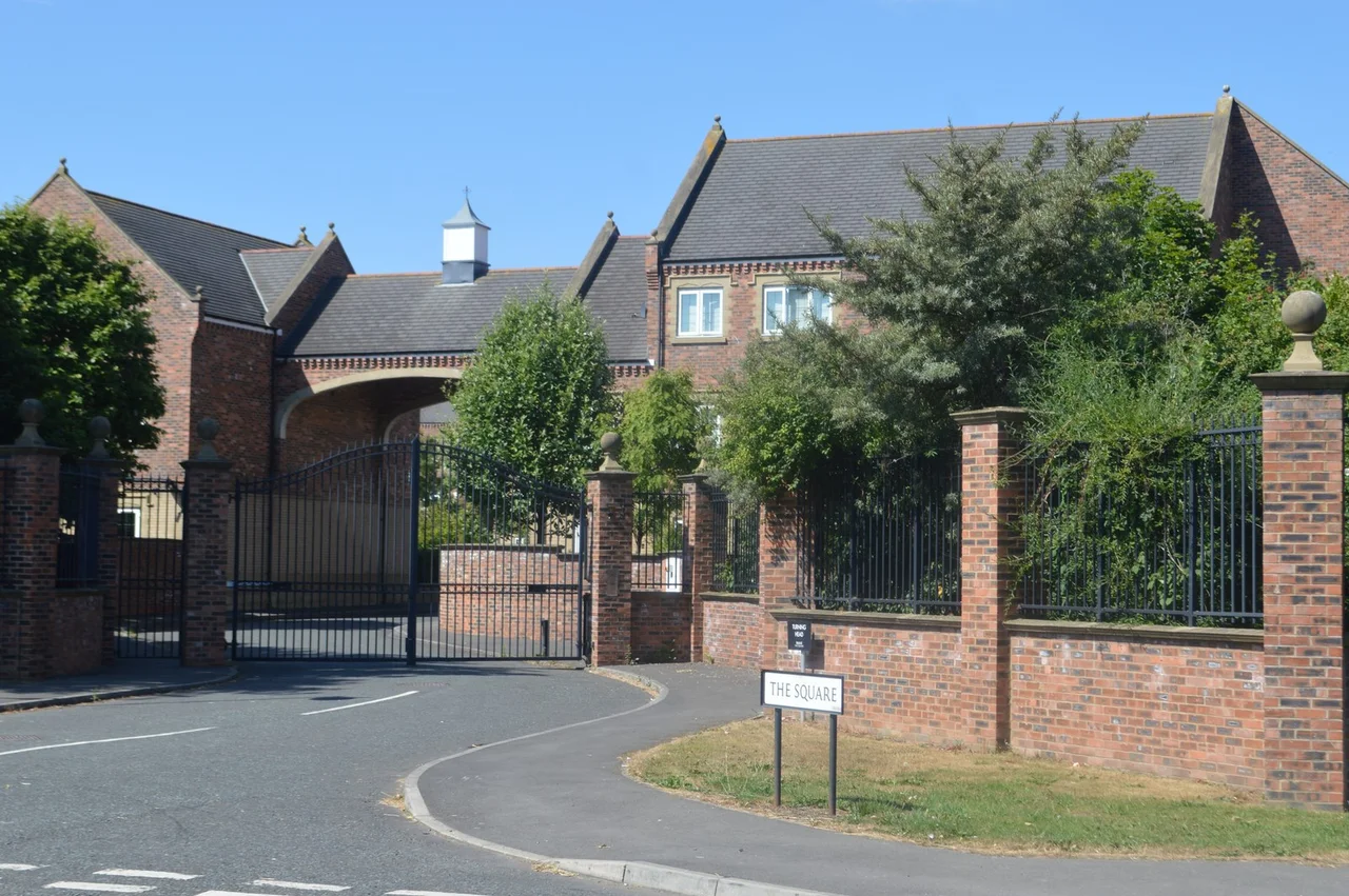
Recent expansions to the estate include The Square, a development on the western edge of Shields Road that produced some of the most expensive homes ever built in Sunderland. Several sold for around £750,000, executive houses pitched at the kind of buyer who could equally consider Yarm or Darras Hall. The contrast with the original post-war stock is sharp: modest semi-detached and terraced houses of brick and pebbledash on one side, generous detached homes with double garages on the other. The estate's amenities make it nearly self-contained. Two churches, a newsagent, an off-licence, a takeaway, a sandwich shop, a beauty salon, a glass-blower, a dental surgery. The kind of small commercial mix that makes a suburb feel like a village.
Schools and Buses
Educational facilities sit at the heart of the estate, both on Torver Crescent. Seaburn Dene Primary handles the youngest pupils. Monkwearmouth Academy serves as the main secondary school for north-eastern Sunderland, drawing in students from across this side of the city. The number 23 Stagecoach bus runs from the estate through Fulwell, the city centre, Sunderland Royal Hospital, and on to Thorney Close. The last 23 leaves at 22:40. The 20, 20A, and X20 services pass along Shields Road, running between South Shields and Durham via Park Lane Interchange, Houghton-le-Spring, and Belmont. Seaburn Metro station, on the Green line of the Tyne and Wear Metro, is a short walk to the south-west, giving residents fast access to Newcastle, the airport, and the Tyneside coast.
A Quiet Corner of Sunderland
Politically the estate forms part of the Fulwell ward on Sunderland City Council and is represented by three Conservative councillors, an unusual political colouring in a city that has long leaned Labour. Walk the streets on a clear morning and the Lake District names take on a kind of architectural truthfulness: low-density housing, plenty of green between the rows, the dene running cool and shaded toward the sea. It is not the Cumbrian valleys, of course. But the planners who chose these names a lifetime ago wanted residents to feel some of that quietness, and on a calm spring day, with the gardens out and the gulls coasting overhead, Seaburn Dene still delivers a small version of the promise.
From the Air
Seaburn Dene sits at 54.935 north, 1.389 west, about a mile inland from the North Sea on the northern edge of Sunderland near the boundary with South Tyneside. Recommended viewing altitude 1500 to 2500 feet. From the air the estate appears as a regular grid of residential streets cut by the wooded dene running east to the coast. The Seaburn Metro line passes to the south-west. Nearby airports: Newcastle International (EGNT) is roughly 12 nautical miles north-west; Durham Tees Valley (EGNV) is about 24 nautical miles south. The Tyne and Wear coast runs immediately east, with sea fret common in spring.
Nearby Stories
- Seaton Carew 2.7 km away
- HMS Unity (N66) 6 km away
- George Stephenson's Birthplace 6.1 km away
- Raby Castle 9 km away
- Cragside 15 km away
- Whitby Abbey 21 km away
- German submarine U-2367 46 km away
- Alexander L. Kielland (Platform) 277 km away