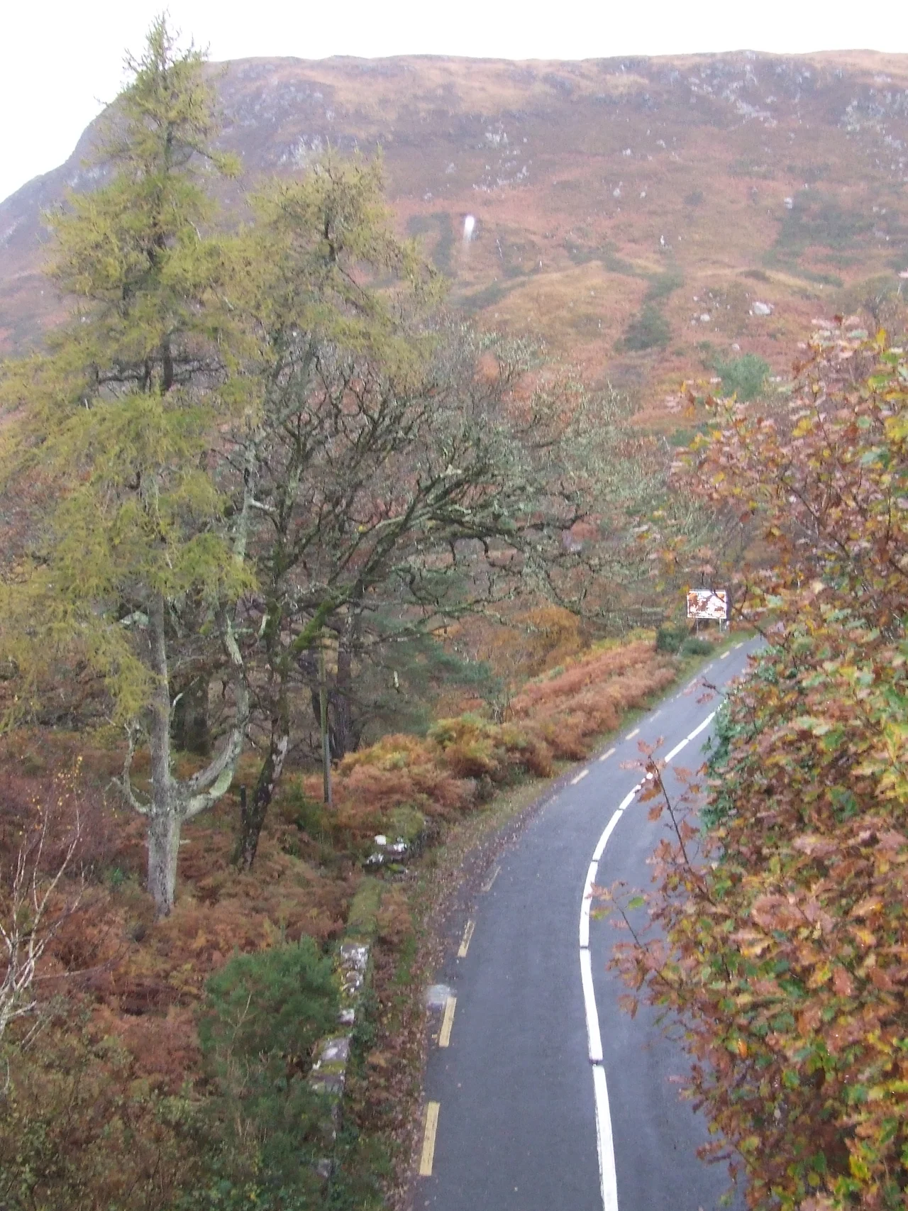

Corraun Peninsula
Stand on the Corraun Peninsula and Achill Island looks impossibly close - a stone's throw across a narrow sound, connected to the mainland by a low bridge named for Michael Davitt, the nineteenth-century Land Leaguer who was born nearby. Achill gets all the attention; tourists pour west across the bridge to its cliffs and beaches without slowing down. But Corraun is its own place, a 524-metre hill rising out of a peninsula in the Gaeltacht, with views north across Blacksod Bay and south to Croagh Patrick and the islands of Clew Bay. The Great Western Greenway runs through it. About 726 people live here. Roughly one in eight of them speaks Irish every day.
Reaching Toward Achill
The Corraun Peninsula - sometimes spelt Currane - juts west from the County Mayo mainland toward Achill Island, the two landmasses separated by the narrow channel of Achill Sound. The Michael Davitt Bridge, completed in 1949 and rebuilt in 2008, carries the road across the sound to Achill - the only road link between Ireland's largest offshore island and the mainland. The villages of the peninsula, all small, include Tornragee, Polranny, Belfarsad, Corraun (Currane), and Dogh Beg. Together they form part of the parish of Achill, but their character is distinct: peninsula, not island, and turning its face as much toward the inner mainland as toward the Atlantic.
The Hill
Corraun Hill rises to 524 metres at the peninsula's centre - a flat-topped sandstone summit that catches whatever weather is moving in off the Atlantic. From the top, the view sweeps north across Blacksod Bay to the Mullet Peninsula and the distant Stags of Broadhaven; west across Achill to the open ocean; south across Clew Bay to the perfect cone of Croagh Patrick; east to the Nephin Beg range. Walkers come up here for the panorama. The hill is part of the Achill Beg parish's daily landscape, looming over every village and shaping every weather pattern. On a clear winter morning, the snow line traces it perfectly.
The Greenway
The Great Western Greenway, a 42-kilometre walking and cycling route built on a disused railway line between Westport and Achill, passes through the northern side of Corraun. It is the longest off-road walking and cycling trail in Ireland, and the stretch across the peninsula is among the most scenic - tracks running along the edge of Blacksod Bay with the Atlantic opening to the north. Sheep graze in paddocks beside the path. The original railway closed in 1937; the greenway opened in 2010 and has done more than any other single intervention to bring slow-moving visitors back into a part of Mayo that had largely been driven through, not stopped in.
Gaeltacht and Football
All of Corraun lies within the official Gaeltacht, the area where the Irish language is recognised as the community language. Census figures show that about twelve per cent of the population speaks Irish daily outside the education system - a figure that places Corraun within the active Irish-speaking heartland of Mayo, though one under continuous pressure from English-language media and the pull of larger towns. Fr Griffin Park, the community sports field, sits with views toward Croagh Patrick, Achillbeg, and Clare Island; it hosts rugby, Gaelic football, and soccer. Mulranny United Football Club plays its home league games here. The pitch has, by any honest reckoning, one of the more spectacular settings of any sports ground in Ireland.
From the Air
The Corraun Peninsula's high point (Corraun Hill, 524 m) sits at approximately 53.917°N, 9.864°W, with the peninsula extending west toward Achill Island. Best viewed from 3,000-5,000 feet AGL. Blacksod Bay opens to the north, Clew Bay to the south, and Achill Island is connected via the Michael Davitt Bridge. Ireland West Airport Knock (EIKN) is about 40 nm to the east. The hill generates significant turbulence in westerly flow.
Nearby Stories
- Tully Cross 4.6 km away
- Binghamstown 6.7 km away
- Lough Mask Murders 6.8 km away
- Aughagower 13 km away
- Ballycastle, County Mayo 18 km away
- Action of 7 May 1794 36 km away
- RMS Carinthia (1925) 45 km away
- Inishtooskert 194 km away