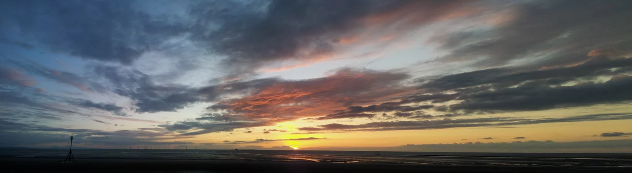

Crosby, Merseyside
One hundred iron men stare out to sea. They stand barefoot on Crosby Beach, scattered across two miles of sand between the dunes and the low-tide line, and twice a day the Irish Sea climbs up their bodies and falls again. They are cast from the body of the sculptor Antony Gormley. Locals call them, simply, the Iron Men. Tourists arrive at low tide and walk among them; at high tide, only heads and shoulders break the water, lonely as drowning swimmers. This is Crosby - a town on the northern lip of the Liverpool docks, where the rest of the Merseyside story leans against the sea.
Where the Docks End
Crosby sits on the eastern shore of Liverpool Bay, in the Metropolitan Borough of Sefton, a few miles north of the Crosby channel that funnels shipping into the Mersey. From the beach you can watch container vessels slide past Antony Gormley's figures and disappear toward the docks at Seaforth. The town is part of the Liverpool urban area but feels less like a city extension and more like a refuge from it - tree-lined avenues, Edwardian terraces, and the steady company of the Irish Sea. At the 2001 census Crosby's population was 51,789, and the proportion of married households here ran noticeably higher than the national average, a quietly settled town pinned between the dunes and the docks. The Guardian's Best Places to Live guide named Liverpool Waterfront and Crosby together in 2016, and locals tend to nod at the recognition without much surprise.
A Coast of Crossings
Crosby's name carries the Norse fingerprint left up and down this coastline - the 'by' suffix marks the homesteads of Vikings who arrived in Lancashire in the early tenth century, after the Wirral was opened to settlement around 902. The University of Nottingham's research on the eleven-hundredth anniversary of that arrival put Crosby firmly on the Viking map. The maritime thread continued through the centuries. J. Bruce Ismay, chairman of the White Star Line and one of the most-discussed survivors of the Titanic disaster, was raised in the area; his story is preserved on the Crosby Titanic heritage trail. During the American Civil War the town's docks ran cotton blockades to the Confederacy - earning the Liverpool waterfront the nickname 'Dixie' in a strange chapter remembered locally as 'When Liverpool was Dixie.'
Another Place
In 2005, Antony Gormley installed Another Place at Crosby Beach - one hundred life-size iron castings of his own body, spread across the foreshore from Waterloo to Blundellsands. They were meant to be temporary. The locals, after debate, kept them. Children climb them; barnacles annex their thighs; a fresh layer of rust marks each high tide. There is no plinth, no information board, no fence. You walk out across the sand and the figures simply appear, all of them facing the same horizon, all of them looking at the same ships. In rough weather they vanish under spray. In summer dusk their long shadows reach back to the dunes. It is the kind of public artwork that becomes weather, becomes part of the place rather than commentary upon it.
Quiet Famous Faces
Crosby's roster of notables runs through writing, broadcasting and faith. The children's author and screenwriter Frank Cottrell-Boyce grew up here. Kenny Everett, one of the most original British broadcasters of the late twentieth century, took his irreverent radio voice out of this corner of Merseyside. The Guardian's crossword setter Margaret Irvine - known to puzzlers as Nutmeg - lived locally. The Roman Catholic Archbishop Vincent Nichols, later Cardinal, was born and raised in the town. There is no plaque trail trying to gather them all together. They simply lived here, walked the beach with everyone else, and watched the same tide cover the same iron figures.
Flight Context
Crosby sits at approximately 53.487 degrees north, 3.034 degrees west, on the Sefton coast immediately north of Liverpool. The most useful visual feature from the air is the line of Antony Gormley figures running roughly two miles along the foreshore between the Crosby and Hightown channels, with the Royal Seaforth container dock visible to the south. Liverpool John Lennon Airport (EGGP) is approximately 12 nautical miles southeast, and Blackpool Airport (EGNH) is roughly 20 nautical miles north. The Irish Sea coast is best seen between altitudes of 2,000 and 4,000 feet, with the dock cranes and the curve of the Mersey estuary providing strong navigation references.
From the Air
Located at 53.487N, 3.034W on the Sefton coast immediately north of Liverpool. Nearest airport: Liverpool John Lennon (EGGP) approximately 12nm southeast. The Royal Seaforth container dock and the line of Antony Gormley sculptures along the foreshore provide clear navigation references. Best viewed 2,000-4,000 feet AGL in clear conditions.
Nearby Stories
- Blackpool Pleasure Beach 4.4 km away
- Whalley Abbey 4.8 km away
- Worsley 5.4 km away
- Second Battle of Middlewich 7.7 km away
- Chester Zoo 7.9 km away
- Llanrwst 23 km away
- Abergele Rail Disaster 27 km away
- Sea Lion Rocks railway station 73 km away