.jpg)
Dawulun Fort
From the summit of Mount Dawulun, the harbor is spread below like a map drawn with real water. Keelung's basin opens southward into the city; the sea stretches north and east toward Japan. For anyone wanting to move troops or supplies by ship into northern Taiwan, this harbor was the entry point — and for anyone defending Taiwan, the heights above it were the place to stand. The Qing dynasty understood this in 1820, which is when they built Dawulun Fort. Two centuries later, the stone walls still stand at 231 meters above sea level, exactly where the logic of geography put them.
The Harbor That Had to Be Held
Keelung Harbor is one of the finest natural anchorages on Taiwan's north coast — deep, sheltered, and positioned to receive ships from the north and east. In the early nineteenth century, as European commercial and colonial pressure on China intensified, the Qing court recognized that Taiwan's northern harbors were potential points of entry for foreign fleets. The fort constructed on Mount Dawulun in 1820 was part of a broader defensive effort to secure the island's coastline. Its position — commanding the western approaches to the harbor from high ground — made it a natural choice for military installation. From those walls, the view of incoming ships was unobstructed for miles.
Under Fire: Opium War and French Gunboats
The fort was not merely symbolic. During the First Opium War in 1840, when British naval forces were pressing China's coastal defenses along the mainland, the Qing court sent military forces to reinforce Dawulun and other northern Taiwan positions against the possibility of attack. The more direct test came in 1884, during the Sino-French War. French naval forces under Admiral Courbet landed at Keelung in October 1884 as part of a campaign to pressure China over Indochina. French forces captured the port itself, but Qing imperial commissioner Liu Mingchuan's troops surrounded them and the campaign ground into a months-long stalemate known as the Keelung campaign. Dawulun Fort, high on its hill, was part of that defensive network — garrisoned by soldiers who faced not just the threat of bombardment but the sustained pressure of a blockade that cut the island off from mainland supply.
Stone Walls and Arched Windows
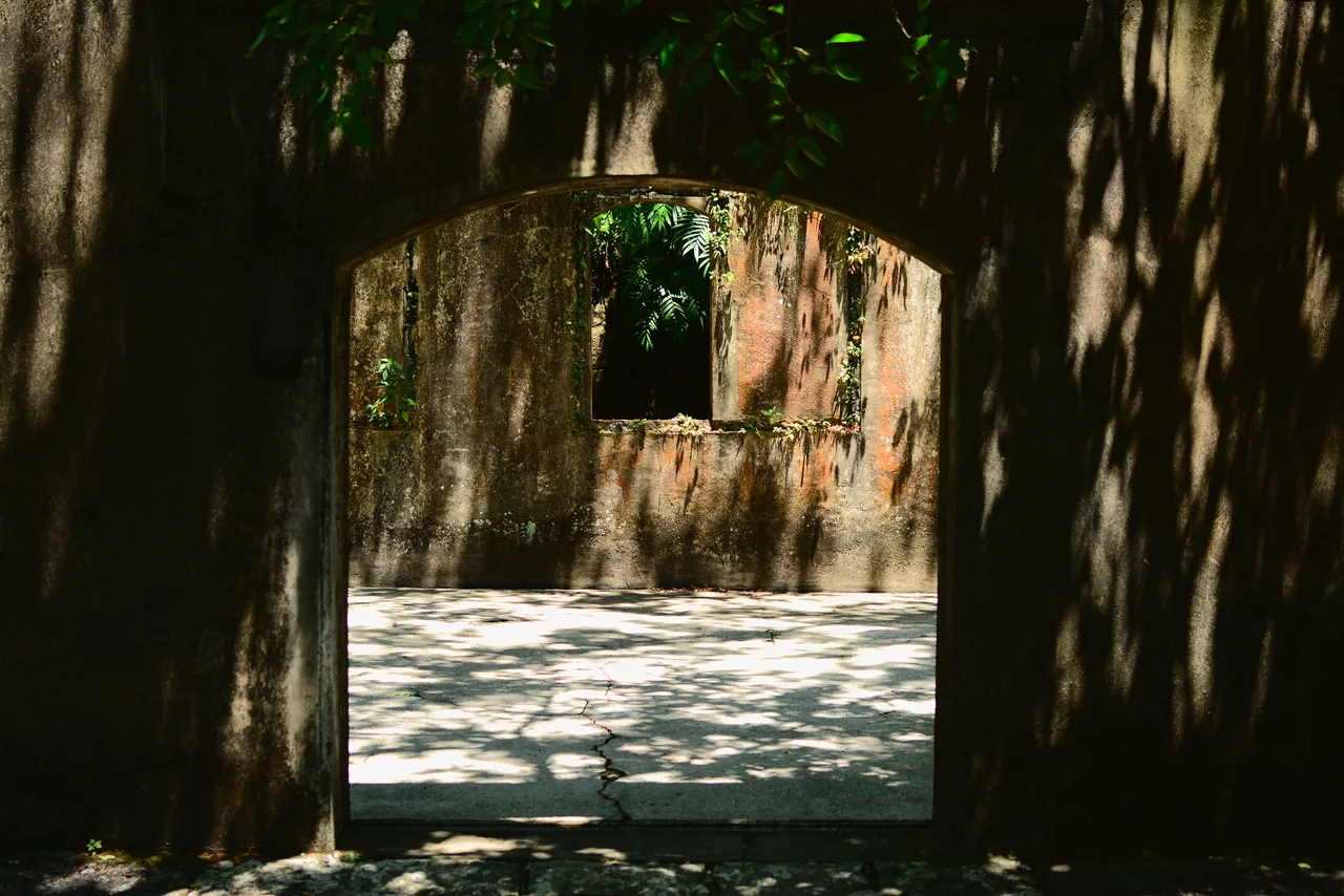
What survives today is a complex of unusual completeness for a Qing-era military site. The fort itself is accompanied by remains of the chassis, mechanical belt installations, tunnels, barracks, trenches, and a storage room — an ensemble that allows visitors to read the logic of nineteenth-century coastal defense. The walls are constructed of stone, thick enough to absorb the impact of naval artillery, with arched windows that allowed defenders to observe and engage without exposing themselves. The arched openings give the structure an almost monastic quality at close range — there is something in the curved stonework that seems architectural in a civilian sense, until you remember what those windows were designed for. Taiwan has designated Dawulun Fort a national monument, and the site is maintained accordingly.
The Mountain Path Up
Reaching the fort requires commitment. The path up from the base ascends through secondary forest — subtropical in its density, loud with insects in summer, cool and misty in the months when cloud sits low over Keelung. The trail is not difficult, but it is relentless: Mount Dawulun does not flatten out before delivering you to the top. The 231-meter elevation that made this site valuable for defense in 1820 means the same elevation for visitors today. What you gain from the summit is what the Qing commanders sought: the panorama. Keelung Harbor below, the sea beyond, the city spilling inland along the valley, the ridgeline of northeastern Taiwan running toward the Pacific. Buses from Keelung Station of Taiwan Railway make the lower trailhead accessible without a car.
Two Centuries of Watching
The twentieth century brought its own set of occupiers and defenders to Keelung. Japanese colonial forces arrived in 1895 after the First Sino-Japanese War ceded Taiwan, and they understood Dawulun's value as clearly as the Qing had. The fort remained in military use through the colonial period and into the Republic of China era. Today, in its status as a national monument open to hikers, Dawulun Fort has transitioned from active defense to historical witness. The harbor it once guarded is now a commercial and ferry port; the threats it was built to deflect have not materialized in generations. But the walls remain precisely where two centuries of strategic thinking placed them, and from the summit, the harbor still lies below like something worth protecting.
From the Air
Dawulun Fort sits at approximately 25.16°N, 121.71°E on Mount Dawulun, Anle District, Keelung, at 231 meters elevation. From the air the fort is visible as a stone complex near the summit of an isolated hill on the western side of Keelung Harbor. The harbor basin is clearly visible to the southeast; the Pacific coastline lies to the north. Nearest major airport: Taipei Songshan (RCSS), approximately 26 km southwest. Approach from the west follows the coastline toward Keelung; the harbor entrance is a useful visual reference. Best viewed at 2,000–4,000 feet AGL for the full harbor perspective.
Nearby Stories
- Matsu New Village 5.9 km away
- Lanyang Museum 10 km away
- Singapore Airlines Flight 006 17 km away
- North Jiangsu Main Irrigation Canal 963 km away
- Sinking of MV Sewol 1031 km away
- General Cliff Rock Paintings 1039 km away
- Yellow Sea 1089 km away
- Sibuyan Island 1395 km away