Department of Piura
In 2013 and again in 2016, thermometers in two small towns in Piura hit 39.8 degrees Celsius - the highest temperature ever recorded anywhere in Peru. Chulucanas and the Lancones District are not in the south, where the Atacama sits, nor high in the Andes. They are in the north, only four degrees from the equator, in a department that should by rights be rainforest. Piura is the other answer. Here the cold Humboldt Current and the warm El Nino current meet offshore, and the collision creates one of the strange climates on Earth: a land where the tropics meet the desert, where algarrobo forests grow in sand and Punta Parinas marks South America's westernmost point.
Where Two Currents Meet
The climate of Piura is the product of ocean physics. Four degrees south of the equator, Piura should receive constant rain and sit under jungle canopy - the pattern that holds across most of equatorial South America. Instead, the Humboldt Current sweeping up from Antarctic waters cools the Pacific at Piura's coast, suppressing rainfall for most of the year. From the north, the warm El Nino current pushes down whenever conditions align. The balance tips one way for six months of the year and the other way for the rest, producing what climatologists classify as tropical savanna or tropical dry - enough warmth for equatorial ecosystems, not enough moisture to sustain them. When the balance breaks and El Nino arrives fully, ocean temperatures rise past 27 degrees Celsius and catastrophic rains turn the dry ravines into torrents. The year 1983, the year 1997-98, the year 2017 - Piura has the scars of these events written into its landscape.
The Algarrobo Country
The signature tree of Piura is the algarrobo, a species of mesquite related to the carob. It grows where almost nothing else will - in the Sechura Desert to the south, in the scrub of Morropon, along the Piura and Chira river valleys. The tree survives by sending taproots thirty or forty meters down to reach groundwater, and its pods are used to make algarrobina, a thick syrup that sweetens cocktails across northern Peru. The Tumbes-Piura dry forests that spread through the center and north of the department are globally unusual: tropical dry forest ecosystems of a sort found in only a few places on the Pacific coast of the Americas. They harbor great green macaws, grey-cheeked parakeets, and dozens of endemic bird species. Piura also grows the best and oldest lime-lemons in South America, produces the continent's finest mangoes from its dry tropical zones, and shares with neighboring Lambayeque the claim of being the original home of Pima cotton.
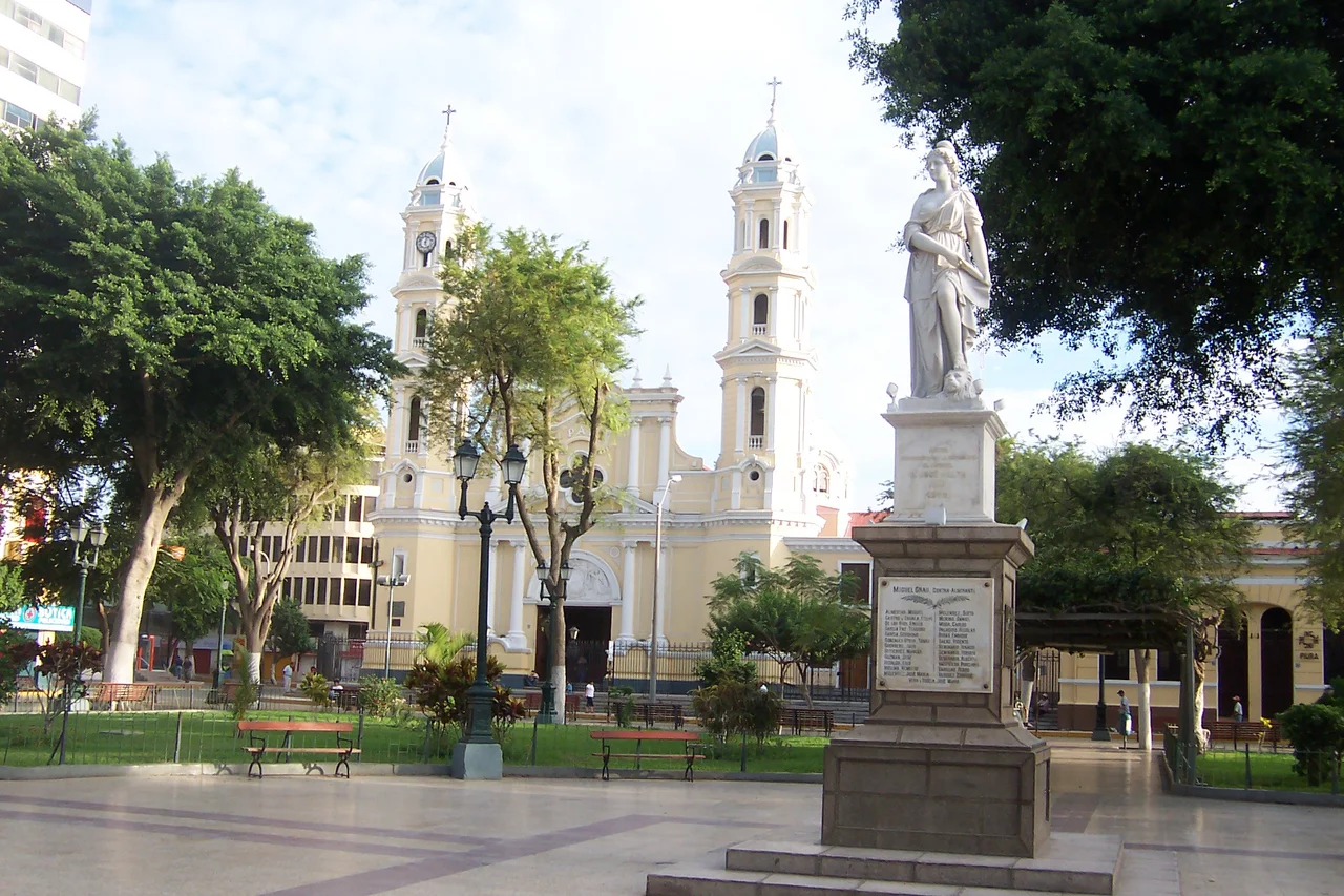
Pizarro's First City
In 1532, Francisco Pizarro founded the first Spanish city in what is now Peru on the banks of the Chira River in the Tangarara Valley. He named it San Miguel de Piura. This was before Cuzco, before Lima, before any of the colonial capitals that would define Spanish Peru - Piura came first. The exact founding date remains disputed; during the 450th anniversary celebrations, July 15 was adopted as the official date more by consensus than historical certainty. The location did not last. In 1534, sanitary problems forced the capital to Monte de los Padres near Morropon. In 1578 it moved again to San Francisco de la Buena Esperanza near Paita, on the Pacific coast. In 1588 the constant raids of English pirates and privateers - who had found Paita a convenient target - forced a final relocation inland to the present site of the city of Piura. Four locations, one colonial capital, before the settlement finally settled.
Churres and Cowboys
Piuranos call themselves Churres - the local slang term for a young Piuran. They speak with a distinctive accent that elongates syllables in a way closer to northern Mexican Spanish than to the coastal speech of Lima or the highland Spanish of Cuzco. The music of the region is Tondero and Cumanana, folk forms accompanied by guitar and cajon that carry strains of Spanish, African, and indigenous rhythms. The Peruvian waltz, practiced in its own northern style here, rounds out the traditional repertoire. Northern Peruvian cowboys - the men who still wander the deserts of Sechura and Catacaos transporting goods by donkey and mule - resemble the charros of Mexico and the gauchos of Argentina more than the figures most outsiders picture when they think of Peru. They work as silversmiths in the off season, making the filigree earrings and leather goods for which Catacaos is famous. The craft traditions of the region - Chulucanas pottery, Catacaos silver, the Panama-style straw hats - run deep.
Siesta Country
Between one and four in the afternoon, Piura stops working. The heat at midday, especially in summer from December through April, makes outdoor labor dangerous and indoor labor uncomfortable, and the local tradition of siesta has adapted to the conditions. Morning work begins early - before dawn when possible, certainly before seven - and the productive hours run until lunchtime. Then most of the region closes: shops shutter, offices empty, the streets fall quiet. Work resumes around four when the sun has moved off its peak. Piuran cuisine has evolved around the climate: Secho de Chavelo, the capital's signature dish, is a cold preparation of sun-dried beef, fried plantains, and onions that can be eaten at room temperature during the hot middle of the day. The region is also famous for natilla sweets, for algarrobina cocktails, and for its many variations of ceviche. At the beach resorts of Mancora and Colan, people escape the inland heat and take the waters of the Pacific into their dinner instead.
Punta Parinas
The westernmost point on the South American continent is a rocky headland in Talara Province called Punta Parinas. From this cape, the Pacific opens in three directions, and the coast bends southeast toward Lima and northeast toward the Ecuadorian border. The marine terraces of Mancora, Talara, and Lobitos preserve the evidence of sea levels that fluctuated during the Pleistocene. Offshore, the petroleum fields of Talara Province have been producing oil since the late nineteenth century, making this corner of northern Peru one of South America's first significant hydrocarbon regions. The Bayovar Depression in the Sechura Desert, south of the Piura River, is the lowest point in Peru and the entire Southern Tropics. The geological forces that created the Andes to the east also produced this complex coastline, where tropical and desert, jungle and sand, ocean and empty horizon meet at a latitude where they are not supposed to meet at all.
From the Air
Piura department centered at 4.99 S, 80.41 W. Capital Piura City airport (SPUR/PIU) is Captain FAP Guillermo Concha Iberico International. Talara airport (SPYL/TYL) serves Capital Victor Montes Arias International. Sechura Desert distinctive from altitude: large dune fields and the Bayovar Depression visible as Peru's lowest point. Coast alternates between Pacific-facing desert (Sechura) and dry forest (Tumbes-Piura ecoregion). Punta Parinas the westernmost point of South America. Weather generally clear except during El Nino years when dramatic rain systems develop.
Nearby Stories
- Ayabaca province 15 km away
- Ignacio Escudero District 18 km away
- Poechos Reservoir 21 km away
- Talara Refinery 50 km away
- El Airo, Loja 75 km away
- Marañón Dry Forests 146 km away
- Gocta 283 km away
- Easter Island: The Mystery of Rise and Collapse 3872 km away