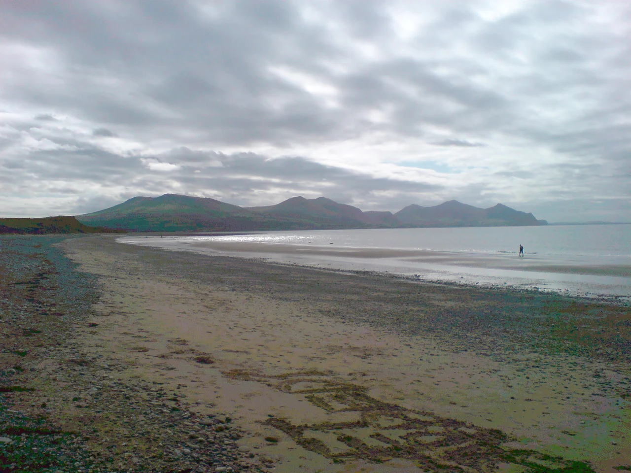

Dinas Dinlle
Time is running out for Dinas Dinlle. The Irish Sea takes a few more inches each winter, slicing the western edge of this two-thousand-year-old hillfort away one storm at a time. What survives now is only half a fort - a double semi-circular rampart curling away from a cliff edge that should never have been a cliff. Walk the grass-topped ring and you can feel it: the missing arc, the seaward half that fell into the waves long before anyone thought to dig here. Archaeologists are racing the tide, and the tide is winning.
A Fort Half Eaten
From the air, the geometry tells the story. The surviving rampart traces a clean curve through a green hill above the pebble beach - and then it stops, sheared off by the bluff face. Whatever defenders once stood watch toward the open Caernarfon Bay now have nothing to stand on. The fort measures roughly 150 metres north to south and 110 metres east to west, with a single entrance on the southwest. Centuries of erosion have shaved it down from whatever footprint the original Iron Age builders chose. The Royal Commission on the Ancient and Historical Monuments of Wales, working with the Gwynedd Archaeological Trust, joined an EU-funded coastal heritage project called CHERISH precisely because places like this are being lost faster than they can be studied.
The Roundhouse That Shouldn't Exist
When the trowels went in during the 2019 and 2022 seasons, what they found surprised everyone. Inside the rampart sat a stone-built roundhouse 13 metres across, with walls more than two metres thick and threshold slabs of quarried slate. It is now thought to be the largest roundhouse in Wales. Ground-penetrating radar mapped further round houses and yards linked to the entrance by cobbled roadways - a small Iron Age neighbourhood ringed by earthworks. Then the Roman pottery appeared, alongside coins dated roughly 200 to 300 CE, suggesting the fort was reoccupied centuries after its first inhabitants had gone. People kept coming back to this windy headland for the same reason ancient eyes first chose it: you can see anyone approaching, by land or by sea, for miles.
The View the Builders Chose
Stand at the surviving entrance and look out. The Llyn Peninsula stretches away to the south like a long arm reaching into the bay. Northwest, across the water, the low silhouette of Ynys Llanddwyn marks the southern tip of Anglesey. Sand and pebble run for miles below - the foreshore so vast at low tide it seems impossible the same beach could disappear under spring high water. The whole stretch is a Site of Special Scientific Interest, sand dunes shifting and resettling with each storm season. A 1994 groyne was meant to slow the erosion that threatens both the hillfort and the Wales Coast Path. By 2013, planners concluded the groyne had made things worse, and engineers began reducing its height and clearing the boulders. The sea, for now, keeps the upper hand.
The Modern Village
A small settlement clusters immediately north of the fort, historically part of Caernarfonshire. According to the 2011 census, nearly four in five residents speak Welsh - a quietly remarkable statistic that places this corner of Gwynedd among the strongest Welsh-speaking communities anywhere. Two kilometres further north sits Caernarfon Airport, a single runway on flat pasture. It was an RAF base during the Second World War, training pilots for the Battle of the Atlantic. Today it carries flying lessons, pleasure flights, and the Wales Air Ambulance. A caravan park nearby fills each summer with families who come for the beach, mostly unaware that the green mound above the pebbles holds the largest roundhouse in Wales and is slowly, irretrievably falling into the water.
From the Air
Coordinates 53.086°N, 4.336°W on the Caernarfonshire coast facing Caernarfon Bay. Caernarfon Airport (EGCK) sits 2 km to the north on the same flat coastal strip; the hillfort is unmistakable from a downwind leg as a green semi-circular mound above the pebble beach. Across the bay to the northwest, Ynys Llanddwyn and Anglesey are clear in good visibility. RAF Valley (EGOV) lies 25 km to the northwest. A recommended viewing altitude of 1,000 to 2,000 feet reveals both the surviving rampart and the encroaching cliff edge that defines its losing battle with the sea.
Nearby Stories
- Wakestock 1.7 km away
- Trefriw 3.8 km away
- Irish Sea 8.7 km away
- Irish Sea Bridge 20 km away
- East–West Interconnector 30 km away
- Machynlleth 36 km away
- HMS Tyler 41 km away
- New Brighton Lifeboat Station 54 km away