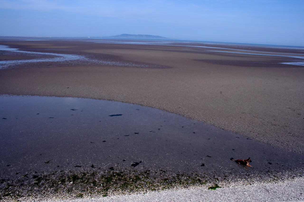

Irish Sea
Twelve million passengers cross the Irish Sea every year. The Mabinogion tells of Branwen ferch Llyr crossing it westward to marry the Irish king Matholwch, and her brother Bendigeidfran wading back across it - because, in the legend, the sea was once shallow enough to wade. He was not entirely wrong. Most of the sea between Ireland and Great Britain is less than two hundred metres deep, and large parts of it are less than fifty. Ten thousand years ago, as the last ice retreated, the centre of what is now the Irish Sea was a freshwater lake. The water you fly over is younger than the legends.
The Shape of a Shallow Sea
The Irish Sea is bounded by five places that do not always agree on much else: Scotland to the north, England to the east, Wales to the southeast, and Northern Ireland and the Republic of Ireland to the west. Hydrographers draw its northern limit as a line from the Mull of Galloway to Ballyquintin Point, and its southern limit from St David's Head to Carnsore Point - which makes it, technically, an inland sea linked at both ends to the open Atlantic. Eighty percent of its volume lies west of the Isle of Man, in the deeper channel; the eastern side is shallow, sandbanked, full of names like the Bahama Bank and Kish Bank and Codling Bank that look more like a hazard chart than a map. At its widest the sea spans about 240 kilometres; at its narrowest, in the North Channel, only thirty.
The Sea That Was Walked Across
Around 20,000 years ago, glaciers covered the Irish Sea basin to a depth of more than a kilometre. As they retreated the basin filled with meltwater - first as a lake, then, when the ice dam broke, as a brackish embayment, finally as the sea you see today. Romans called it Mare Hibernicum. Norman knights crossed it from Porthclais near St Davids in the late twelfth century in hulks, snekkars, keels and cogs, heading for Wexford Harbour and the conquest of Leinster. Tudor armies invaded in caravels in 1529. Vikings, Manx kings, Welsh saints, and Cromwell's troops all left their wakes on these waters. The Holyhead-to-Dublin route - the busiest single corridor across the sea today - carries the MS Ulysses - the world's largest car ferry by vehicle capacity when she entered service in 2001 - on a four-hour passage that medieval pilgrims would have considered miraculous.
Beneath the Water Line
The seabed is one of Europe's best-known petroleum provinces. In the East Irish Sea Basin, Lower Triassic Sherwood Sandstone reservoirs hold an estimated 7.5 trillion cubic feet of gas and 176 million barrels of oil. The five fields of Liverpool Bay - Douglas, Hamilton, Hamilton North, Hamilton East, and Lennox - came on stream between 1995 and 2001, with PowerGen as sole gas customer. Further south, the Cardigan Bay Basin remains underexplored; further north, off the Isle of Man, the gas plays peter out into colder geology. The Sellafield nuclear reprocessing complex sits on the Cumbrian coast, and its history of discharges has left plutonium concentrated in eastern sediment banks parallel to that shore. Current discharges are a hundred times lower than the 1970s peak; the legacy in the mud is slower to wash out.
U-boat Alley and the New Forest of Steel
In the First World War the Irish Sea was nicknamed U-boat Alley after the German submarines moved their hunting grounds here in 1917, drawn by the convoys feeding Liverpool. The Second World War added more wrecks: HMS Mercury, lost in 1940 and rediscovered in 2021; LCT 326, found in 2020; SS Mesaba, the ship that had tried to warn Titanic about icebergs in 1912, sunk in 1918 and only located in 2022. The same shallow water that hid the U-boats now anchors a forest of wind turbines. Walney, Burbo Bank, North Hoyle, Robin Rigg, Arklow Bank - each white tower three hundred feet tall, blades the size of an airliner's wings, all wired back to converter stations on shore. The Walney Extension was, briefly, the largest offshore wind farm on Earth. Above and beneath, the sea is one of the most worked stretches of water in Europe.
Sodor and the Shipping Forecast
Two things about the Irish Sea live in the British imagination in ways its actual waters never quite do. The first is the Shipping Forecast: "Irish Sea" is one of the BBC's broadcast areas, recited in the small hours since 1925, its coordinates and wind directions becoming a kind of national lullaby. The second is Sodor - the fictional island invented by the Reverend Wilbert Awdry for The Railway Series, placed somewhere between the Isle of Man and the Cumbrian coast, populated by Thomas the Tank Engine and his friends. Real ferries, real wind farms, real wrecks, real radioactive sediment, real legends - and in the middle of all of it, an imaginary island carrying a fictional railway, because the Irish Sea has always been a place where the documented and the dreamt sit side by side.
From the Air
The Irish Sea is centred near 53.5°N, 5°W, with the Isle of Man at its heart at 54.2°N, 4.5°W. Best viewing altitudes are 10,000 ft and above on clear days; the Isle of Man's mountains, Anglesey's Holy Island, and the Cumbrian coast are all useful visual landmarks. Major aerodromes around the rim: Dublin (EIDW), Belfast Aldergrove (EGAA), Belfast City (EGAC), Liverpool (EGGP), Manchester (EGCC), Isle of Man Ronaldsway (EGNS), Anglesey/Valley (EGOV), Blackpool (EGNH), Cardiff (EGFF). Weather is famously changeable, with frequent low cloud, showers, and gusty westerlies; visibility can drop fast and ferry routes thread through dense maritime traffic and offshore wind farm exclusion zones.
Nearby Stories
- Llyn Cerrig Bach 2 km away
- Cemlyn Lifeboat Station 13 km away
- Lambay Island 26 km away
- Irish Sea Bridge 30 km away
- Chicken Rock Lighthouse 32 km away
- Greystones 33 km away
- Douglas Head Amphitheatre 40 km away
- Silent Valley Reservoir 46 km away