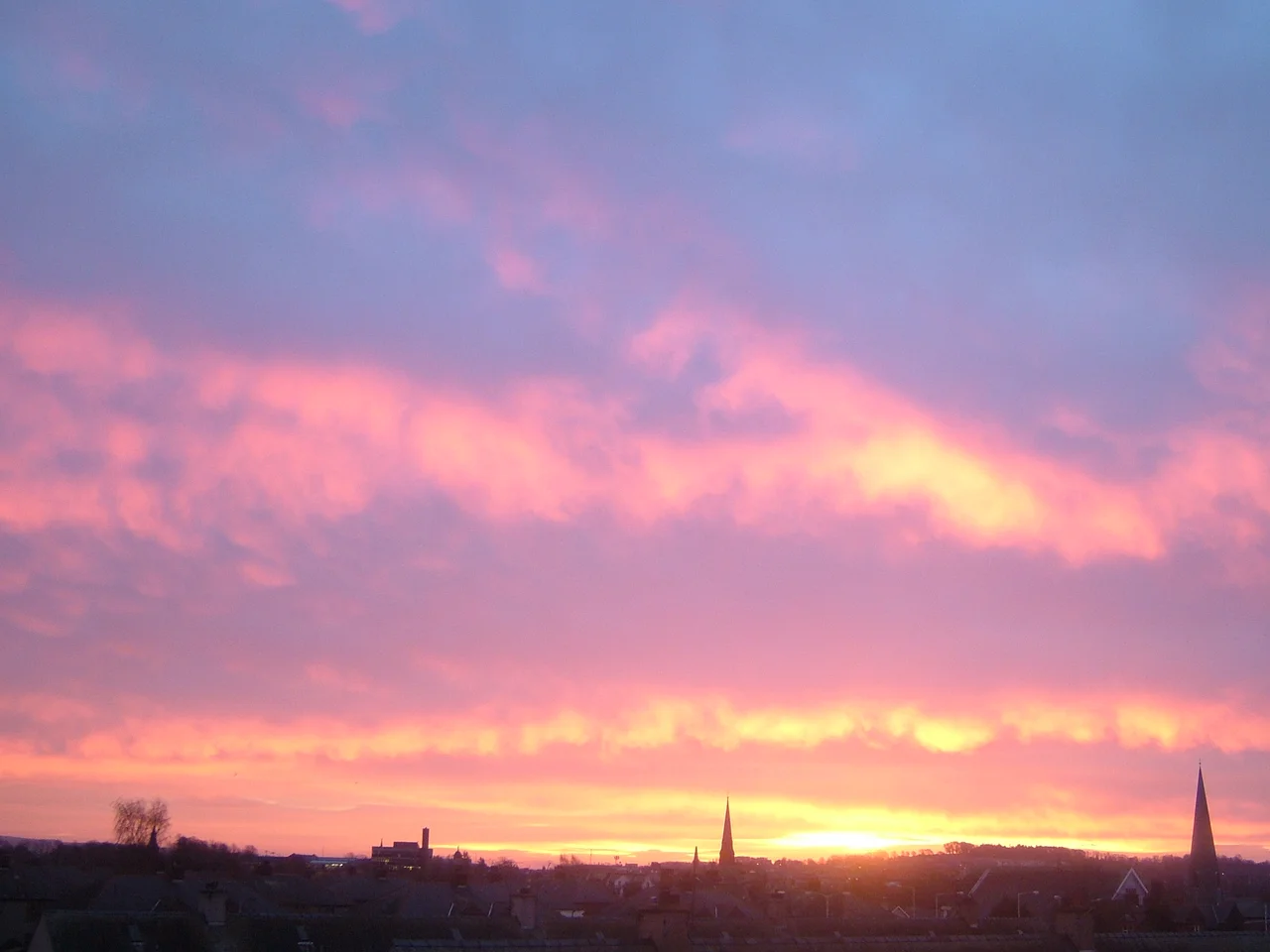

Dumfries
Bonnie Prince Charlie wanted shoes. In 1745, his Jacobite army shivered through the streets of Dumfries demanding two thousand pounds and a thousand pairs of brogues, but the townsfolk dragged their feet. When word arrived that the Duke of Cumberland was bearing down from the north, the Young Pretender scarpered with only £1,000 and 255 pairs of shoes, his men limping into the future of a doomed rebellion. It was the last time an invading army wrecked Dumfries, capping centuries of unwelcome guests who help explain why so few of this ancient burgh's buildings are truly old.
Red Sandstone on the Tidal Limit
The town sits where the River Nith stops being navigable, on lowland built from well-drained red sandstone that fertilises fields and tints buildings the same warm rust shade. Maxwelltown grew on the west bank as a separate burgh in Kirkcudbrightshire, joining Dumfries only in 1929. Picturesque Devorgilla Bridge, the 15th-century sandstone footbridge crossing the Nith, leads to the Old Bridge House of 1660. In the High Street, the Midsteeple of 1705 has served as prison, council chamber and records office in turn. Most of what looks venerable here is in fact 18th or 19th century, because invading armies kept arriving and kept reducing earlier work to rubble. The Nith floods the Whitesands roughly once a year. Locals shrug; the river was here first.
The Poet's Last Address
Robert Burns spent his final seven years in Dumfriesshire, three of them out at Ellisland Farm seven miles north, then four in the town itself until his death at 37 in 1796. Statues of Burns and his wife Jean Armour stand in town, and his mausoleum rises in St Michael's graveyard. Most visitors come precisely for these traces, which form a small but moving pilgrimage circuit. Burns was no romantic abstraction here; he worked as an exciseman, drank at the Globe Inn, and wandered the Nith's banks composing songs that would outlive empires. When he fell ill in 1796 he was sent down to Brow Well near Annan to take the chalybeate spring waters. The treatment did not save him. Crowds lined the streets when his body returned home.
Standing Stones and Stranger Gardens
Beyond the town the countryside thickens with quirks. The Twelve Apostles stone circle north of town stretches roughly 86 metres across, though only eleven boulders remain; the missing one wandered off around 1800 and was promptly nicknamed Judas Iscariot. To the southwest a smaller oval circle counts eight stones of an original nine. North of Ellisland, the Portrack Garden of Cosmic Speculation opens just one Sunday a year, presenting fractals, quarks and black-hole distortions of space-time recreated, against all sensible advice, in rural Dumfriesshire. Closer to town, the 14th-century Torthorwald Castle stands ruined beside a charming thatched cruck cottage, its sturdy oak crucks still propping up the roof.
Bodysnatchers and Bonny Hills
South of town, Criffel rises 1,870 feet from the low plain, a Marilyn rather than a Munro but conspicuous enough that climbers reckon three hours up and back through forest and boggy heath. The 60-metre Grey Mare's Tail cascades through the Moffat hills an hour east. Then there is the Dumfries footnote to one of Britain's grimmest tales: William Hare, of the Edinburgh murderers Burke and Hare, was smuggled to Dumfries after turning king's evidence in 1829. Townsfolk recognised him at the King's Arms Hotel (now the Boots on High Street) and a furious mob besieged the building. He was taken into protective custody overnight, set down on the road to Annan at dawn, and advised to walk briskly south. He vanished from the record there.
Doonhamers and Their Loyalty
People from Dumfries call themselves Doonhamers, a name born from generations of workers describing home as somewhere doon hame to the south. Their football club, Queen of the South, took its nickname from a Victorian election speech, and the team's Palmerston Park ground sits west of the river. Dumfries votes its priorities clearly; the area sided heavily against Scottish independence in 2014, reflecting the deep transport and trade ties with England and Northern Ireland that have shaped the town for centuries. Whisky distilleries are arriving north on the A76, and the rum makers Ninefold operate in nearby Dalton. Old habits and new tastes share the High Street, much as Maxwelltown and Dumfries share the river.
From the Air
Dumfries lies at 55.07 degrees north, 3.62 degrees west, in the broad lowland valley of the River Nith just inland from the Solway Firth. The town sits between the A75 east-west corridor and the A76 running up the Nith Valley toward Kilmarnock. Cruise at 3,500 to 5,000 feet for the best views of the meandering Nith, the patchwork red-sandstone farms, and Criffel rising sharply to the south. The nearest aerodrome is Dumfries (EGCO) just north of town; Carlisle Lake District Airport (EGNC) lies about 25 miles southeast, and Glasgow Prestwick (EGPK) is roughly 50 miles northwest.
Nearby Stories
- Cumnock 9.5 km away
- Solway Firth 11 km away
- Garlieston 11 km away
- Battle of Arkinholm 12 km away
- Crawford Castle 12 km away
- Caldbeck 15 km away
- Battle of Glen Trool 17 km away
- Hawick 25 km away