
Falcarragh
Drive the N56 north from Letterkenny, past Termon and Creeslough and the long sweep of Sheephaven Bay, and the road eventually widens into the main street of An Fál Carrach - Falcarragh. The signs switch to Irish only. The pubs have names like Teach Bhillie and the Gweedore Bar. The wind comes off the Atlantic and pushes inland every day of the year. Falcarragh is the biggest of a strung-out chain of villages along this coast, with a population of 764 at the 2016 census, and it is one of the strongest Gaeltacht areas left in Ireland: seventy per cent of residents speak Irish, and thirty-four per cent use it as their main language at home.
The Bridge of Tears
About eight kilometres southeast of Falcarragh, where the R256 to Letterkenny crosses a small river at the edge of the Derryveagh Mountains, a stone bridge marks one of the saddest place names in Ireland. *Droichead na nDeor* - the Bridge of Tears - was, by tradition, the place where families stopped on the road to Derry. Beyond this point, only those emigrating walked on. Parents, siblings, and lifelong neighbours turned back here. From Derry the ships went to Glasgow, to Liverpool, to America. Most of the people who passed the Bridge of Tears never came home. The plaque on the bridge today is in Irish: *Anseo a scar an dílseacht le grá an tsaoile* - here loyalty parted from love of life. The bridge is small and easy to miss if you don't know to look for it. The history it marks is not.
Cloughaneely and Iona
Two and a half kilometres east of Falcarragh, the medieval ruin of Tullaghobegley church sits in a field beside a graveyard. It has been there a long time. Four seventh-century abbots of Iona - the Hebridean monastery that re-Christianised Britain - began their careers here before crossing to Scotland. The High Cross at the site is from the 8th century, broken by storm around 1750 and repaired in the 1970s. The church itself was wrecked by Cromwell's army in the 17th century, with the congregation massacred inside. Near the golf course on the edge of Falcarragh stands the Cloughaneely Stone - *Cloch Cheann Fhaolaidh*, "the stone of Faolaidh's head" - on a plinth. According to legend, the local chieftain Faolaidh was beheaded here by the Fomorian giant Balor, and the stone is permanently red from his blood. Locals advise visitors not to take any of these legends too seriously, but to invent better ones.
Tory and the Lost American
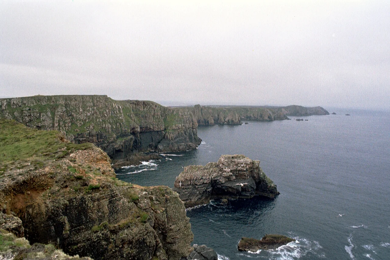
Look out to sea from the cliffs north of Falcarragh on a clear evening and Tory Island sits on the horizon, all cliffs and sunset haze. The name has nothing to do with English politics in the way most assume - it comes from *tóraidhe*, an old Irish word for "outlaw". A small population still lives on the island, served by ferries from Magheroarty. Between Tory and the mainland lies Inishbofin, where in 1933 the new owner of the Glenveagh estate disappeared. Arthur Kingsley Porter, a Harvard professor and an early Indiana Jones figure in his field of medieval archaeology, walked out one afternoon during foul weather and was never seen again. Wild theories sprang up about staged death, secret double lives, and worse. The most likely explanation is the simplest: he drowned in the surf.
Horn Head and Dunfanaghy
Just east of Falcarragh sits the smaller and prettier village of Dunfanaghy - *Dún Fionnachaidh* - with sheltered beaches at Killahoey and Marble Hill that make it Donegal's most-photographed corner. The Dunfanaghy Workhouse, open daily, tells the story of the Great Famine in this district through the records of the people who actually entered it. North of the village, the peninsula of Horn Head - *Corrán Binne* - ends in cliffs 180 metres high. Two lookout towers stand on it: a Napoleonic-era one against Bonaparte's threatened invasion of Ireland, and a World War II one against the more recent threat of U-boats picking off North Atlantic convoys. On the western face of the cliffs, MacSwyne's Gun is a blow hole that fires water and noise into the air on a heavy swell.
The Bishop's Steward
Falcarragh has always been an Irish-speaking village that resented being told what to do from outside. In 1822, a Protestant bishop's steward arrived to hold court collecting church tithes - levies imposed on Catholic farmers to support the Church of Ireland clergy. He wrote his report afterwards from a safe distance: "arrived at a place called Falcarrow in your Lordship's See... I was immediately on my arrival surrounded by upwards of 150 to 300 men who had assembled merely for the purpose of preventing me from holding any Court and threatened my life if I would. Their measures I was obliged to comply with." He left without collecting a penny. The Tithe War would rumble on for another decade across rural Ireland, but for that one afternoon in Falcarragh, the verdict was already in.
From the Air
Falcarragh sits at 55.14°N, 8.10°W on the north coast of Donegal, on the Wild Atlantic Way. Donegal Airport (EIDL) is 10 nm southwest at Carrickfinn. The Atlantic coast lies 1 nm north; Mount Errigal (751 m) rises 9 nm south-southeast and is the most prominent visible landmark from any altitude. Tory Island sits 8 nm offshore to the northwest. Best viewed at 2,000-5,000 ft AGL; the dense scatter of small loughs inland and the smooth white-sand arc of Tramore Beach to the west are distinctive features.
Nearby Stories
- Flight of the Earls 12 km away
- Lifford 16 km away
- SS Devonian (1900) 20 km away
- Donegal Castle 23 km away
- German submarine U-155 (1941) 24 km away
- German submarine U-1233 54 km away
- Easky 63 km away
- RMS Empress of Britain (1930) 69 km away