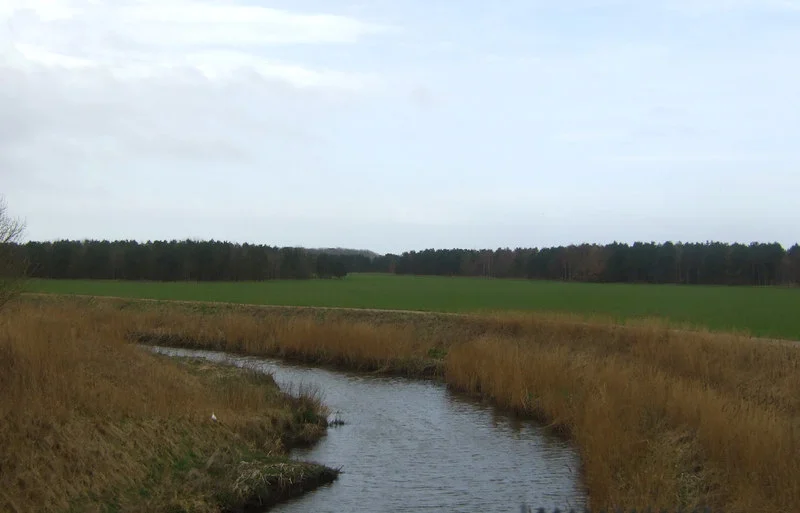

Formby
The footprints belong to people who walked this beach up to 9,000 years ago. Mesolithic men, women and children left their tracks in tidal mud, which turned to silt, which turned to sediment, which is now eroding back out of Formby's shoreline a handful of seasons at a time. Radiocarbon dating has shown the beds span at least 8,000 years of the Holocene, from the Mesolithic period to medieval times. In June 2016, more than fifty of those prints emerged in a single survey. Around them, in the same exposed sediment layers, are the tracks of red deer and roe deer, of wild boar and wolf and the long-extinct aurochs. Walking the beach at Formby is, quite literally, walking with ghosts.
Fornebei to Formby
Three manors are recorded in the Domesday Book of 1086 under the spelling 'Fornebei' - Halsall, Walton and Poynton. The -by ending is Old Norse for homestead or village, and the older form means 'the old settlement' or 'the village belonging to Forni.' Vikings reached this coast of Lancashire by sea and, tradition holds, found the Anglo-Saxons too well-defended on the shore. They sailed inland up the River Alt and attacked from behind. Formby Hall, a Grade II listed building on land now circled by a golf course, traces its lineage back to 1223 - around eight hundred years of continuous occupation by the lords of the manor, before the Sefton suburbs caught up with it.
Britain's First Lifeboat
Formby Beach is the place where the United Kingdom's lifeboat service was, in effect, invented. Around 1776, William Hutchinson - Dock Master for the Liverpool Common Council and a former privateer who had reformed his way into harbour administration - established a rescue station here. The boat is believed to have been a 'Mersey Gig.' The last launch from Formby took place in 1916, and a film of that final rescue survives. The foundations of the station buildings still sit out on the beach, half-buried in sand, while the town's modern Wetherspoons pub - which opened in 2016 - is called 'The Lifeboat' in their honour. It is a quiet thing, a stretch of broken brickwork beyond the high-tide mark, but it is also the birthplace of an institution.
The Pinewoods and the Squirrels
West of the town the pinewoods begin - some natural, some planted - rolling down to the Irish Sea behind a barrier of marram-stabilised dunes. The National Trust manages much of this coast, and Victoria Road is the entry point most visitors use. The reserve here is one of the last refuges in Britain for the red squirrel, listed as endangered and pressed everywhere by its larger grey cousin. At dusk you can sometimes hear the male natterjack toad, gathering at the edges of shallow dune-slack pools to sing for a mate. Locals call the sound 'the Bootle Organ,' a name that turns an amphibian's nocturnal mating call into something faintly comic and entirely affectionate.
The Footballers' Town
Formby has, for reasons of pleasant streets and decent golf, become the quiet residence of generations of Liverpool and Everton footballers. The list is long enough that it functions almost as a Merseyside hall of fame: Steven Gerrard, Jordan Henderson, Andrew Robertson, Joe Allen, Wayne Rooney, Adam Lallana, Mario Balotelli, Leighton Baines, Duncan Ferguson, Howard Kendall, Sami Hyypia, Ray Clemence, Emlyn Hughes. Jurgen Klopp lived here during his Liverpool management years. Brendan Rodgers and Arne Slot too. The town also produced the novelist Beryl Bainbridge, the founder of Littlewoods Sir John Moores, the snooker player John Parrott, and Rhian Teasdale of Wet Leg. The Irish songwriter Percy French is buried in St Luke's churchyard. And in a footnote so small it is almost a punchline: George Formby Senior, the great music hall entertainer, took his stage name after seeing 'Formby' written on a railway carriage. His son inherited both the name and the act.
Flight Context
Formby lies at 53.559 degrees north, 3.067 degrees west, on the Sefton coast roughly halfway between Liverpool and Southport. RAF Woodvale is immediately to the north of the town - opened in 1941 as a Spitfire fighter station, and now used for RAF light aircraft and fighter training; in 1957 the last operational Spitfire in British military markings took off from this runway. Liverpool John Lennon Airport (EGGP) is 17 nautical miles south-southeast. The town's distinctive feature from the air is the band of dark pinewoods running parallel to the coast and the bright Irish Sea sand. Best altitude for visual identification: 2,000 to 4,000 feet AGL.
From the Air
Located at 53.559N, 3.067W on the Sefton coast between Liverpool and Southport. RAF Woodvale (EGOW) sits at the northern edge of town; Liverpool John Lennon (EGGP) is approximately 17nm south-southeast. The dark pinewoods running parallel to the coast and the dune system are the strongest visual references. Best viewed 2,000-4,000 feet AGL.
Nearby Stories
- Blackpool Pleasure Beach 4.4 km away
- Whalley Abbey 4.8 km away
- Worsley 5.4 km away
- Second Battle of Middlewich 7.7 km away
- Chester Zoo 7.9 km away
- Llanrwst 23 km away
- Abergele Rail Disaster 27 km away
- Sea Lion Rocks railway station 73 km away