
Glenamaddy
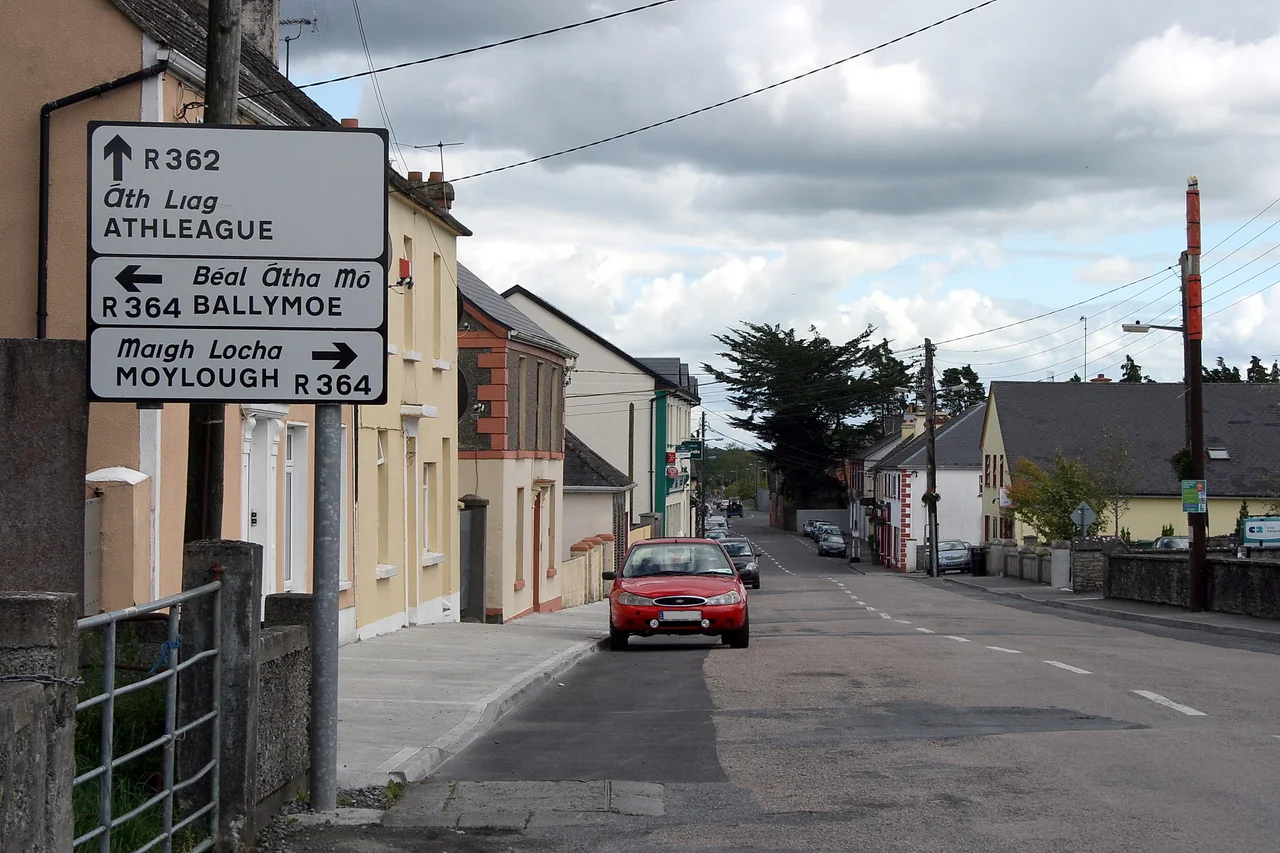
Drive into Glenamaddy from any direction and you arrive at a crossroads - the R362 meeting the R364, fifty kilometres north-east of Galway city. Four roads, four directions, four pubs around a square. That geometry is so central to the town's identity that an Irish country song built around it became one of the most-played radio standards of the Connacht showband era. Four Country Roads turned a small east-Galway market town into a place strangers could sing about without ever having seen it. The town itself is small, a little over six hundred people, but its history runs deeper than the song suggests - back through penal-era hangings, medieval kingdoms, and a 1947 ballroom that briefly made Glenamaddy a destination for half of Connacht.
Valley of the Dogs, or Valley of the Black Plain
Even the name is contested. One reading takes Glenamaddy from Gleann na Madadh - madhadh deriving from madra, the Irish for dog - making the name Valley of the Dogs. Some say the shape of the local turlough, viewed from above, recalls a sleeping hound. Another reading proposes Gleann na Maighe Duibhi, Valley of the Black Plain, named for the dark limestone bed that emerges every summer when the turlough dries up. A turlough is a peculiarly Irish feature, a lake that vanishes seasonally through swallow-holes in the karst rock, leaving a black floor of stone exposed to the sun. Either explanation fits the landscape. The town itself sits in the medieval kingdom of Ui Diarmata, ruled by the O Concannon dynasty, with Boyounagh - the village from which the parish ultimately grew - lying just to the north-west.
The Priest's Valley
In the 1790s, during the penal era when Catholic mass was illegal in Ireland, a priest used to travel out to Esker to celebrate mass at a designated mass rock. On one particular Sunday, an informer told the authorities. Scouts were posted on the hilltops to watch for soldiers, but the soldiers came dressed as ordinary country people and mingled with the congregation. The priest was seized as soon as he arrived, given a mock trial on the spot, and hanged from a whitethorn tree. The tree is still called Sceach na gCloigeann - the whitethorn of the heads. The valley where it happened is called Gleann an tSagairt, the Priest's Valley. Some years later a bell was found in a nearby field. A brass cross turned up too, painted black to keep it from catching sunlight. For the millennium celebrations in the year 2000, a mass was held at the rock again, two centuries on from the killing.
From Workhouse to Bank Closures
Glenamaddy proper grew up around the church built in the 1820s and the markets that gathered there afterwards. By 1853 a workhouse stood on the Creggs road, a grim Famine-era institution that took in the destitute when the potato failed. St. Patrick's Church replaced the old one in 1904. St. Bridget's Town Hall went up in 1909. In 1924 a mill opened in Leitra and gave local people work. The square filled up on market days with cattle, pigs, sheep, animal feed and household supplies. Then the twentieth century brought its slow undoing - emigration year after year, the Bank of Ireland branch shutting in 2006, the Ulster Bank closing in 2013. By 2015 the town had reportedly lost over 120 young people to emigration. A megalithic tomb at Ballinastack and a crannog on Kiltullagh lake remain among the older traces in the surrounding parish.
The Esker Ballroom
On the Kilkerrin Road, in 1947, a great wooden dance hall called the Esker Ballroom was raised. Its first license application failed - no dances, no bar - and it sat empty for almost two years before the first dance was finally held in April 1949. Then it ran. Dances every second Sunday. Showbands. Couples driving in from across Galway and Roscommon. The 1950s and 60s were the Esker's peak. Then the marquees came - giant temporary tents that travelled from town to town with the touring acts - and the marquee promoters undercut the fixed ballrooms. By 1970 the Esker had closed, sold off, and reopened as a nightclub. The song that made Glenamaddy famous was written in the same era. Four Country Roads still gets played at weddings and on radio show requests, more than half a century on.
The Crossroads Today
Glenamaddy Community School opened in 2002, formed by the merging of Colaiste Seosaimh and St. Benin's Vocational School under the Sisters of Mercy and the county VEC. Glenamaddy GAA plays Gaelic football out of the parish. Glen Celtic kicks soccer. The Comer brothers, Luke and Brian, left the town and built one of Ireland's largest private property development empires - the Comer Group - through canny acquisitions in London and Germany. Jeremiah Mee, born in 1889, led the 1920 Listowel mutiny in which Royal Irish Constabulary officers refused to hand their barracks to the British military during the War of Independence. Glenamaddy is small enough that strangers still notice the four roads when they arrive. It is the kind of place songs come from when they come from anywhere at all.
From the Air
Located at 53.60 degrees north, 8.55 degrees west, in east County Galway about 50 km north-east of Galway city. Visible at the crossroads of two regional roads - the four-spoked layout is distinctive from the air. Loch Lurgeen, a raised bog, lies just to the east. Galway sits 50 km south-west; Ireland West Airport (EIKN) is about 50 km north-west.
Nearby Stories
- Clonfert Cathedral 3 km away
- Loughglinn 5.2 km away
- Neale, County Mayo 7.7 km away
- Loughrea 7.8 km away
- Castlebar 13 km away
- Athlone Castle 15 km away
- Lough Rynn Castle 20 km away
- The Burren 21 km away