Gorontalo
The word itself is a corruption of Hulontalo -- from Hulontalangi, meaning "Valley of the Noble" in the Gorontalo language. It is a fitting origin for a province that declared its own independence before Indonesia existed. On 23 January 1942, while the Japanese military was still consolidating its occupation of the Dutch East Indies, a local leader named Nani Wartabone raised the red and white flag over Gorontalo, declaring sovereignty two years before the rest of the archipelago followed suit. That early act of defiance runs like a current through the province's identity, from its ancient trading kingdoms to its formal separation from North Sulawesi in December 2000.
The Porch of Medina
Islam arrived in Gorontalo in the 15th century, carried from the sultanates of Ternate and Bone, and it took root so thoroughly that the pre-colonial kingdoms adopted Islamic law as the foundation for governance. The Hunto Sultan Amai Mosque, dating to 1495, stands as physical evidence of that early adoption. Today, 98 percent of Gorontalo's population identifies as Muslim, and the province carries the nickname "Serambi Madinah" -- the Porch of Medina. The phrase is not casual. Gorontalo's cultural identity braids Islamic practice with older Gorontaloan traditions in ways that shape daily life, from the Mopoahuta ceremony for soil fertility to the Mohiledidi ceremony to request rain. The traditional deliberation house, the Bandayo Poboide, remains a functioning center of community decision-making, its stilt construction built from hardwood that has survived centuries.
Crossroads of the Celebes
Geography gave Gorontalo an advantage its people have exploited since ancient times. Positioned on the narrow Minahasa Peninsula, the province faces the Sulawesi Sea to the north and the Gulf of Tomini to the south, with trade routes reaching directly to the Philippines, Malaysia, Brunei, and beyond to Hong Kong, Taiwan, Japan, and South Korea. The province also sits along corridors connecting the Americas to the Asia-Pacific region. With a population of roughly 1.2 million spread across just over 12,000 square kilometers of land -- comparable in size to Vanuatu -- Gorontalo punches above its weight as a commercial gateway. Corn has become the province's signature crop, earning Gorontalo national recognition as a major producer, while coconut plantations and fisheries round out an economy still rooted in the land and sea.
Whale Sharks and Heart-Shaped Islands
Gorontalo's coastline holds surprises that draw travelers from far beyond Sulawesi. In the fishing village of Botubarani, in Bone Bolango Regency, whale sharks congregate between April and July, drawn by the nutrient-rich waters where fishermen's refuse attracts plankton. Visitors wade into shallow water to swim alongside the largest fish on Earth. Offshore, in Boalemo Regency, Pulo Cinta -- the Love Island -- earns its name from its heart-shaped outline when seen from above. Exclusive floating resorts hover over crystalline water, and the island has been dubbed the "Maldives of Gorontalo." Farther north, Saronde Island in Kwandang draws visitors with white sand so fine and water so clear that the island has become a flagship destination for international tourism in the province.
A Province Born of Independence
Gorontalo's separation from North Sulawesi on 5 December 2000 was the culmination of decades of argument that the region's distinct language, culture, and Islamic character deserved its own governance. The Gorontalo language -- Hulontalo -- is unrelated to the Minahasan languages spoken to the east, and the province's cultural practices, from the filigree metalwork and rattan-woven karanji upiya skullcaps to the elaborate wedding traditions involving lime-spreading and betel nut ceremonies, mark it as a place apart. Bordered by North Sulawesi to the east and Central Sulawesi to the west, the province shares a maritime boundary with the Philippines across the Sulawesi Sea to the north. What Nani Wartabone understood in 1942 -- that Gorontalo's identity was its own -- the Indonesian government formally recognized fifty-eight years later.
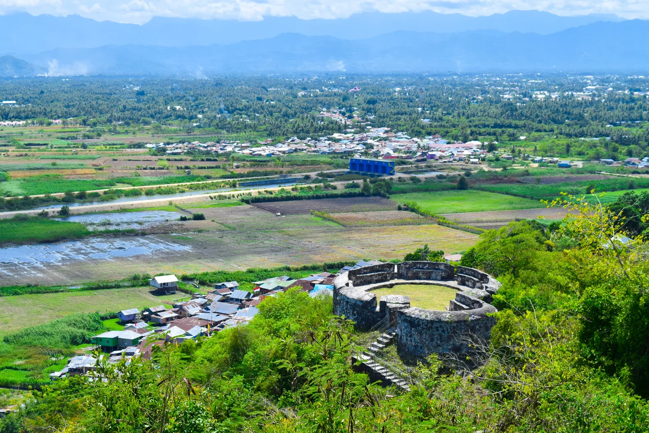
From the Air
Located at 0.67N, 123.00E on the narrow Minahasa Peninsula of Sulawesi island, Indonesia. The province stretches along the peninsula between the Sulawesi Sea to the north and the Gulf of Tomini to the south. Jalaluddin Airport (WAMG) serves the provincial capital. From altitude, the narrow land bridge of the peninsula is distinctive, with Limboto Lake visible near the capital city. The heart-shaped Pulo Cinta island is visible from lower altitudes in Boalemo Regency.
Nearby Stories
- The Hidden Archipelago of Tomini 85 km away
- Kepulauan Togean: The Islands Where Jellyfish Forgot How to Sting 115 km away
- HMS Diana (1807) 135 km away
- Buyat Bay 147 km away
- Mount Colo: The Volcano That Saved an Island 152 km away
- Bunaken National Park 216 km away
- The Sea That Swallows Itself 240 km away
- Indonesia-Malaysia Border 410 km away