Gualala River
Someone once tried to stuff this river into a bag. In 2002, an Alaska businessman and former Reagan administration official named Ric Davidge proposed collecting water from the Gualala River, sealing it in enormous floating bags, and towing it hundreds of miles south to quench San Diego's thirst. The scheme failed -- killed by local outrage and new state laws protecting fish habitat -- but it captured something essential about the Gualala: this modest, 40-mile river on California's northern coast punches well above its weight. It sustains a community, anchors an ecosystem, and traces the path of one of the most famous fault lines on Earth.
Where the Waters Meet
The river's name carries its own small mystery. John Sutter's militia captain Ernest Rufus is credited with naming it, but no one agrees on the origin. One theory traces it to the Pomo word Walali, meaning 'where the waters meet' -- an apt description for a river fed by three forks converging in the Coast Range. Another theory, stranger and less convincing, derives it from a mangled Spanish phrase: 'Que Agua Le La Ley,' roughly 'What Water Read The Law.' The river was previously known as the Valhalla River, a name it carried until sometime between 1877 and 1921 before the current name took hold. Whatever the etymology, the Pomo interpretation fits. The South Fork, the longest, runs northwest parallel to the coast. The Wheatfield Fork carries the heaviest flow, fed by Tombs, Wolf, House, Haupt, and Fuller creeks. The North Fork, the only portion in Mendocino County, angles southwest to join the others a few miles before the Pacific.
Running the Fault Line
The Gualala does not merely cross geologically interesting ground -- it follows the San Andreas Fault itself. Both the South Fork and the North Fork trace the rift zone, their channels carved into the broken and uplifted terrain that the fault produces. This gives the watershed a paradox: the same tectonic forces that created the river's dramatic landscape also make it exceptionally fragile. The 298-square-mile watershed has a naturally high rate of erosion, the rock fractured and loosened by millennia of seismic activity. Human activity has compounded the problem. Logging roads, particularly Kelly Road between Lake Sonoma and Annapolis, funnel sediment into tributaries. The removal of streamside trees has raised water temperatures and eliminated the large woody debris that once created deep, cool pools -- the kind of pools that salmon and steelhead need to spawn.
A Timber Country River
Timber production has defined this watershed for generations. Three-quarters of the 298-square-mile drainage lies in Sonoma County, one-quarter in Mendocino, and nearly all of it is forested. Rainfall ranges from 38 inches at the coast to 70 inches inland, feeding dense stands of redwood and Douglas fir that have drawn loggers since the nineteenth century. Grazing once shared the landscape but has faded. The population remains sparse -- the community of Gualala, which depends on the river for its municipal water supply, is the only settlement of any size. For its last few miles, the river serves as the county boundary, a liquid border between Sonoma and Mendocino flowing through a narrow coastal canyon before meeting the ocean at a sandbar that shifts with the seasons.
The Water Bag Affair
Ric Davidge's 2002 proposal to bag Gualala River water was not idle talk. He planned to collect water from both the Gualala and the nearby Albion River, seal it in enormous marine bags, and tow it south to San Diego, a city perpetually short of fresh water. The plan had a certain audacious logic -- here was surplus water flowing unused into the Pacific, and there was a city of millions rationing every drop. But the Mendocino Coast saw it differently. Local opposition was fierce and immediate. The state legislature responded by passing laws requiring extensive environmental studies of the effects on fish habitat before any water-export scheme could proceed. The governor then signed legislation declaring both rivers recreational areas, effectively closing the door on Davidge and anyone who might follow. The Gualala would keep its water.
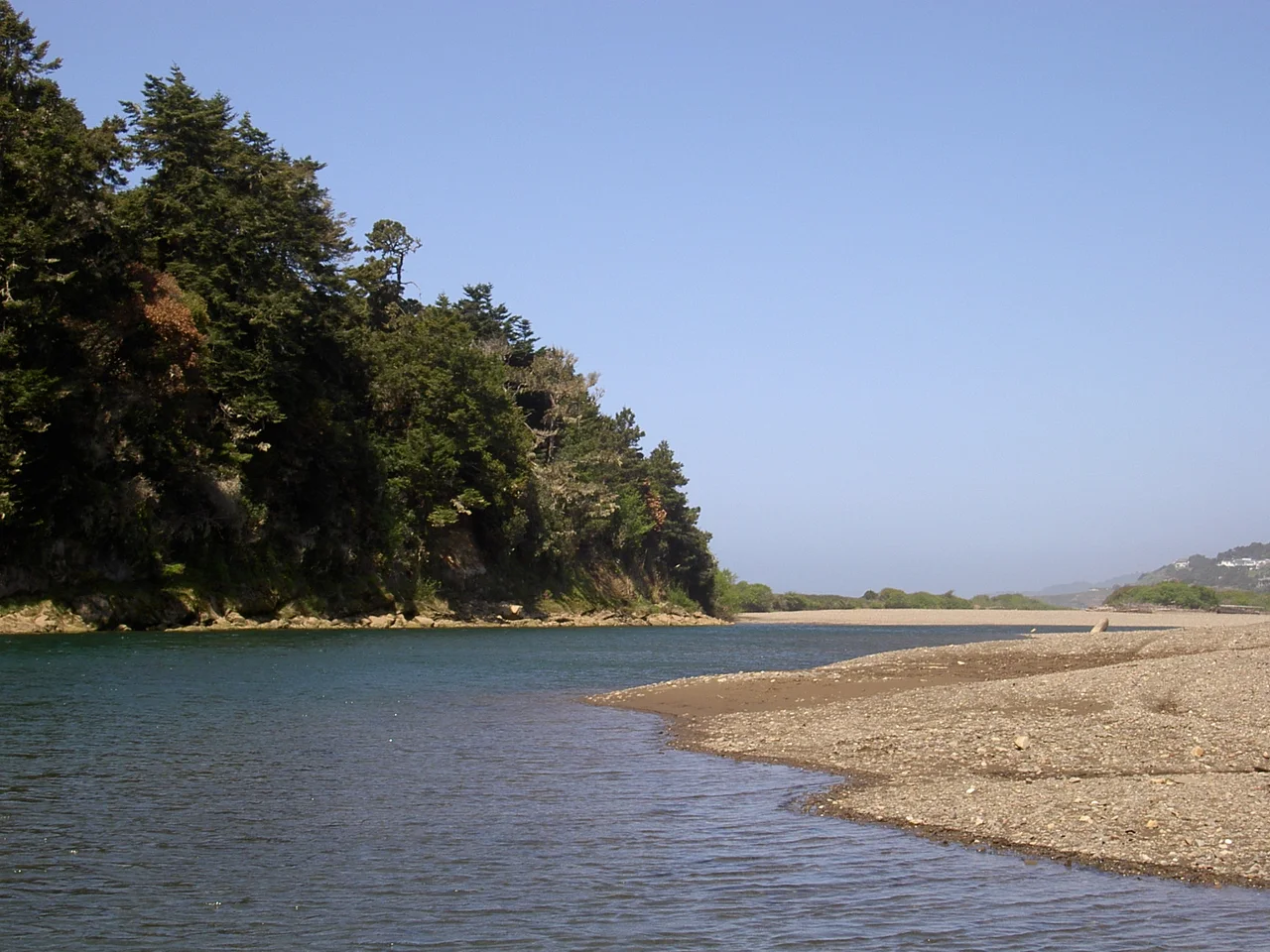
From the Air
The Gualala River mouth is located at approximately 38.77°N, 123.53°W, where the river meets the Pacific Ocean with a visible sandbar. The river corridor runs roughly northwest-southeast, tracing the San Andreas Fault rift zone inland. The nearby community of Gualala sits just north of the river mouth along Highway 1. The closest airport is Ocean Ridge (E55), a private strip near Gualala. Petaluma Municipal (O69) lies about 55 nm to the southeast, and Charles M. Schulz-Sonoma County Airport (KSTS) is roughly 45 nm southeast. At low altitude, the three-fork watershed pattern is visible in the forested Coast Range terrain.
Nearby Stories
- The Redwood Retreat Where Power Relaxes 4.9 km away
- Hendy Woods: A Dying Man's Promise That Saved a Forest 11 km away
- Cyrus 14 km away
- Robinson Rancheria: The Tribe That Came Back 18 km away
- Jenner Headlands Preserve 39 km away
- SS Camden 863 km away
- Westport, Washington 904 km away
- ʻAkaka Falls State Park 3630 km away