
Hậu Giang province
Half a metre. That is the figure that hangs over everything else here. Raise the sea by fifty centimetres against the current land elevation and an estimated eighty per cent of Hậu Giang goes under — and the land elevation is not holding still, because the delta is subsiding as groundwater is pumped out from beneath it. This is a landscape with almost no margin. Average ground level across the province sits under two metres, the Hậu River drains past its northern edge on the way to the sea, and the entire economy is built on the assumption that fresh water stays where it is.
Twenty-One Years
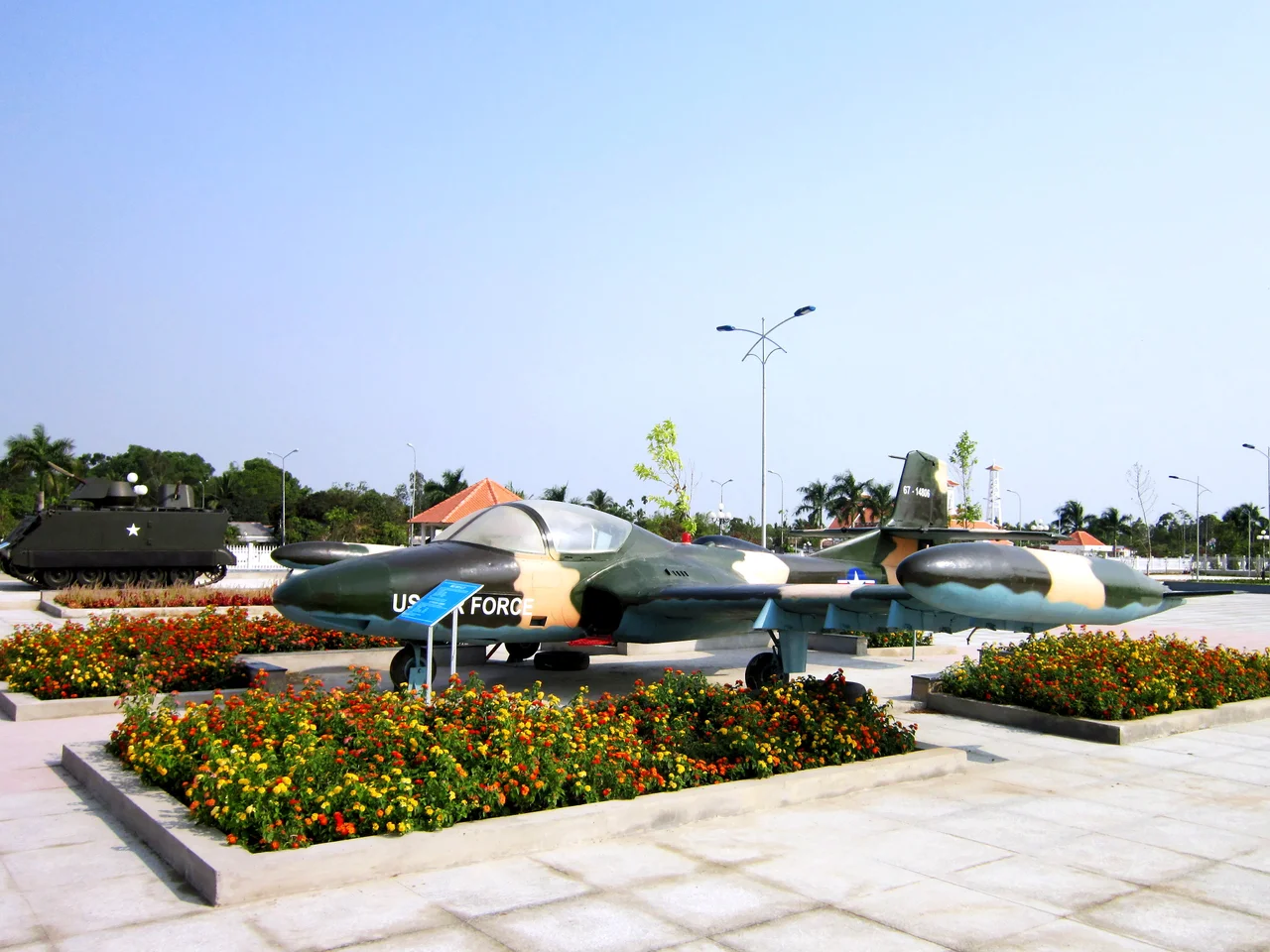
Hậu Giang had a precise beginning and a precise end. When the city of Cần Thơ was pulled out of the old Cần Thơ province and made a centrally administered municipality, what was left over needed a name of its own. On 1 January 2004 it became Hậu Giang, with Vị Thanh as its capital. It covered 1,622 square kilometres and, at the end of 2024, held 997,880 people — five districts, a district-level town at Long Mỹ, and two provincial cities. Then on 12 June 2025 Vietnam's National Assembly dissolved it, folding Hậu Giang and Sóc Trăng back into an enlarged Cần Thơ. Vị Thanh's clock tower and its Chương Thiện Victory Monument — commemorating the fighting of 1973, when the province went by a different name entirely — now stand in a city administered from elsewhere.
Where Seven Rivers Meet
At Ngã Bảy, seven waterways converge in a single junction: Cái Côn, Mang Cá, Búng Tàu, Sóc Trăng, Xẻo Môn, Lái Hiếu and Xẻo Vong. About a decade after the last of the canals was cut through, in 1915, boat traders began gathering at the meeting point, and the Ngã Bảy floating market became one of the great commercial theatres of the delta — fruit, vegetables, poultry, fish and household goods sold hull to hull. In 2002 the authorities moved the whole market three kilometres away to Ba Ngàn on the Cái Côn, citing congestion and river pollution. Traders and visitors hated it. By late 2006 the market was back where it started.
The Jade Emperor's Flooded Ground
In Phụng Hiệp lies Lung Ngọc Hoàng, roughly 2,800 hectares of wetland whose name translates to something close to the Jade Emperor's flooded ground. It is one of the last substantial pieces of natural swamp left in this part of the delta, and it does the work its nickname suggests — people call it a green lung. More than 330 plant species grow here, alongside 206 recorded animal species including 77 kinds of fish, herons and storks, otters, civets, freshwater turtles and snakes. In a province otherwise given over almost entirely to cultivation, Lung Ngọc Hoàng is what the ground looked like before the canals.
Pineapples, Cane and Highway 61
Hậu Giang farms. Rice dominates, sugarcane runs through the Phụng Hiệp area, freshwater aquaculture fills the ponds, and the province's best-known export carries its own place name: khóm Cầu Đúc, the pineapple grown on the acid-sulphate soils around Cầu Đúc, which the local ground appears to suit unusually well. Getting the crop out relies on about 120 kilometres of national road, chiefly Highway 61, which links to Highway 1 through Cần Thơ and on toward Ho Chi Minh City, plus canal and river connections to the Hậu. A 902-hectare industrial zone was the province's bid to add something beyond agriculture.
What the Water Decides
Everything in Hậu Giang comes back to water, and the balance is tilting. Saltwater intrusion pushes further up the delta's channels in the dry season each time upstream flow falls. Land subsidence adds to the effective sea-level rise. The province's own strengths — pineapple on acid-sulphate soil, sugarcane, ponds of freshwater fish — are precisely the things that a few centimetres of salinity change can undo. Hậu Giang no longer exists as an administrative unit, but the districts that made it up still farm the same low ground, still send barges down the same canals to the Hậu River, and still face the same arithmetic.
From the Air
Vị Thanh, the former provincial capital, sits at 9.7833°N, 105.4667°E in the central Mekong Delta. Ground elevation is under two metres and there is no relief at all; from 2,000–5,000 ft the terrain reads as an almost perfectly regular quilt of rice paddy and cane, stitched by canals on a near-grid and broken only by the darker wetland block of Lung Ngọc Hoàng to the northeast and the seven-way water junction at Ngã Bảy. The Hậu (Bassac) River, a broad brown highway running southwest to the sea, is the primary large-scale reference. Cần Thơ International (VVCT) lies about 40 km northeast; Rạch Giá (VVRG) about 60 km west. Wet season runs May to November with afternoon thunderstorms; December to April is clear but can carry agricultural haze.
Nearby Stories
- Sóc Trăng 10 km away
- Óc Eo 28 km away
- Giá Rai 30 km away
- Hà Tiên 51 km away
- Battle of Tri Phap 59 km away
- Hà Tiên Province 76 km away
- Con Son Island 123 km away
- Tho Chau Islands 142 km away