
Hemnes Municipality
At half past six on the evening of 10 May 1940, a ship people recognised came up the Ranfjorden toward Hemnesberget flying Norwegian colours. The Nordnorge was a coastal steamer, an ordinary sight on this run. She had been seized in Trondheim three days earlier, her Norwegian crew replaced with Kriegsmarine men, and she was carrying about three hundred German soldiers - mostly Austrian mountain infantry - who had spent forty hours at sea under a flag that was not theirs. Holding the village was a single platoon of British troops from No. 1 Independent Company. The fighting in the streets of Hemnesberget lasted roughly an hour.
Operation Wildente
The landing had a name and a purpose: get behind the Allied line further north without fighting through it. It worked. The Norwegian Army sent a detachment to counterattack the German positions and was pushed back.
At quarter past eight that evening the Royal Navy arrived - the anti-aircraft cruiser Calcutta and the destroyer Zulu - and settled accounts with the ship, if not the troops. Nordnorge was sunk immediately by gunfire and two torpedoes, exploding and going down stern first in deep water. Several of the wounded aboard her drowned with the ship. The coaster Ranheim went down too, and much of Hemnesberget was wrecked, first in the street fighting and then by naval gunfire aimed at soldiers who were no longer aboard anything. Five German soldiers, eight British soldiers and two Norwegian civilians died. On 12 May a passing Royal Navy force shelled the village again without effect. Hemnes stayed under German control for the rest of the war.
A Boat Clamp on a Blue Field
When the municipality settled on a coat of arms - granted on 4 April 1986, designed by Anne Lofthus Valla - it chose an object that would mean nothing at all in most of Europe. The blazon reads Azure, boat clamps Or: gold clamps on a blue field. The blue is for the sea, which is the easy part.
The clamp is the interesting choice. It is the tool a wooden boatbuilder uses to hold the planks of a hull tight against each other while the fastening takes. Not a ship, not a prow, not a sail - the clamp. A municipality that could have put a finished vessel on its shield put the thing that holds the vessel together while it is still being made. Hemnesberget built boats for generations, and the arms commemorate the workshop rather than the launch.
Sor-Rana, Renamed
Hemnes exists because of a division. In 1839, shortly after the Formannskapsdistrikt law brought local self-government to Norway, the large Rana Municipality was split into Sor-Rana and Nord-Rana. Five years later, in 1844, Sor-Rana was renamed Hemnes.
The name came from the old Hemnes farm, now Hemnesberget, where the first Hemnes Church was built. It breaks into two Old Norse elements: heim, home - in the sense of the place closest to home - and nes, a headland, describing the peninsula the farm sits on. The home headland. It is a name that assumes you are already here, which is a fair assumption for a parish named by the people who lived in it. The Church of Norway still keeps three parishes within the municipality, under the Indre Helgeland deanery in the Diocese of Sor-Halogaland.
Fifteen Hundred Square Kilometres, Forty-Five Hundred People
Hemnes covers 1,590 square kilometres, which makes it the 49th largest of Norway's 357 municipalities. It holds 4,485 people, ranking it 194th by population, at a density of 2.8 per square kilometre - and the figure has slipped 1.5 per cent over the last decade.
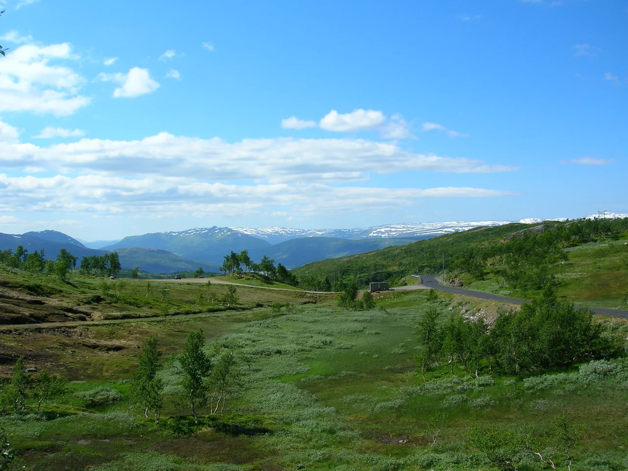
The land runs south from the Ranfjorden and east toward the Swedish border, and it does not run flat. The Okstindan range lies inside the municipal boundary and carries Oksskolten, 1,915.75 metres, the highest mountain in all of North Norway. Rossvatnet, Norway's second-largest lake, straddles the southern edge. Through the middle of it the Nordland Line and European route E6 run north toward Mo i Rana, about 20 kilometres away, the E6 entering from the west through the Korgfjell Tunnel. The administrative centre is Korgen; the other villages are Bjerka, Bleikvasslia, Finneidfjord, Hemnesberget and Sund.
Ninety-Nine Years, Then Gjovik
In 2023, the window manufacturer Natre Vinduer announced it was closing its Hemnesberget factory after ninety-nine years and moving production to Gjovik, in the south. About a hundred jobs went with it.
Run that number against a municipality of 4,485. It is not a rounding error; it is a visible share of everyone who works here, in a place where the population was already drifting downward. Hemnesberget itself holds around 1,335 people. The village that built boats, fought a battle in its own streets in 1940, and put a boatbuilder's clamp on its coat of arms lost its largest industrial employer one year short of the centenary. The clamp is still on the shield. What it once held together has proven harder to keep.
From the Air
Hemnes Municipality is centred near 66.0542 N, 14.0306 E, covering 1,590 sq km south of the Ranfjorden and stretching east toward the Swedish border. The dominant terrain feature is the Okstindan range, including Oksskolten at 1,915.75 m - the highest mountain in North Norway - so route planning must account for high terrain in the eastern part of the municipality. Rossvatnet, the second-largest lake in Norway at 218 sq km, marks the southern boundary and is the single best visual reference in the district. The Ranfjorden to the north, the E6 highway and the Nordland Line give clear linear features for navigation. Nearest airports are Mo i Rana Airport, Rossvoll (ENRA), roughly 37 km to the northeast, and Mosjoen Airport, Kjaerstad (ENMS), roughly 48 km to the southwest. Recommended viewing altitude is 8,000-10,000 ft for the mountain country and 3,000-5,000 ft for the fjord and Hemnesberget. Coastal Helgeland weather moves quickly; low cloud and precipitation can close the interior valleys with little warning.
Nearby Stories
- Toven Tunnel 9.2 km away
- Joesjö 9.7 km away
- Hattfjelldal Church 17 km away
- Actions in Nordland 19 km away
- Dunderland Valley Bus Crash 26 km away
- Ume River 28 km away
- Operation Musketoon 59 km away
- Træna Lighthouse 65 km away