
Heraclea in Trachis
Sparta built this city in 426 BC with 10,000 colonists and very high expectations. It sat just to the northwest of Thermopylae, commanding the single most important land corridor in northern Greece. Thucydides recorded the Spartans' reasoning exactly: the town would "lie conveniently for the purposes of the war with Athens," serve as a base to threaten Euboea, and function as "a useful station on the road to Thrace." The logic was sound. The execution was not.
The Place Where Heracles Died
The site had a name before the Spartans arrived: Trachis. Homer's Iliad mentions it in the Catalogue of Ships as one of the cities subject to Achilles — a passage that establishes how deep this location's roots run in Greek memory. More vivid still is the mythological tradition that Trachis was the scene of Heracles' death. The demi-god, tormented by the poisoned robe of Nessus, climbed to Mount Oeta above the town, built his own funeral pyre, lay down upon it, and commanded his companion Philoctetes to light the flame. The Spartans knew this. They named their colony Heraclea — city of Heracles — trading on the hero's local associations. Later writers would call it Heraclea Trachinia to distinguish it from the other Heracleas scattered across the Greek world, and eventually Heraclea in Phthiotis as the district passed into Thessalian administrative control. The name changed with each era's politics, but the landscape stayed the same: a narrow entrance to the Trachinian plain, the passage barely fifty feet wide, with the broad flats opening beyond.
A Colony That Would Not Behave
Three Spartan founders — Leon, Alcidas, and Damagon — oversaw the construction and fortification of the new city. The colonists built a port with docks near Thermopylae. Sparta invited other Dorian states to participate, and the response was large enough: 10,000 people came. It was, by ancient standards, an ambitious undertaking. Almost immediately, things went wrong. The Thessalians regarded the colony as a provocation — an invasion of what they considered their sphere — and attacked from the start. The Spartans, for their part, proved poor colonial administrators, governing with the kind of haughtiness and corruption that Thucydides associated with Spartan management of dependencies. The city dwindled rapidly. Six years after its founding, the local forces of the Aenianes, Dolopes, Malians, and Thessalians combined to defeat the Heracleots in battle. Sparta could not send help in time. The following year, the Boeotians occupied the city to prevent Athens from taking it, and expelled the Spartan governor on grounds of misconduct. Thucydides dryly notes that the Spartans "were offended at the Boeotians for what they had done."
Seven Centuries of Contested Ground
Sparta eventually recovered the city and it rose again into importance after the Peloponnesian War, serving as Spartan headquarters in northern Greece. In 399 BC the Spartan officer Herippidas was sent to restore order — and did so by executing the local opposition and expelling the Oetaean and Trachinian populations from their homes. In 395 BC the Thebans under Ismenias seized the city, killed the Spartan garrison, and returned it to the original Trachinian and Oetaean inhabitants. Jason of Pherae later demolished the walls entirely. The Aetolians held it next. Then came the Romans: after the defeat of Antiochus III at the Battle of Thermopylae in 191 BC, the Roman consul Acilius Glabrio besieged Heraclea, dividing his army into four assault columns and taking the city after twenty-four days. The sixth-century historian Procopius records that Emperor Justinian I reinforced the town as part of his effort to defend Thermopylae, adding a wall across the Asopus valley and strengthening a fortress called Myropoles. Byzantine fortifications and a cistern survive on the site. The city then vanishes from the record.
What Remains on the Rock
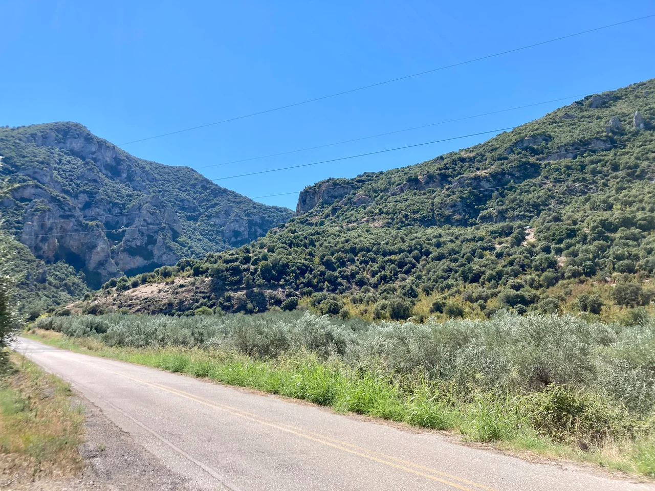
The early nineteenth-century traveler William Martin Leake, working from Livy's account of the Roman siege, identified the city's location with some precision: it occupied the low ground between the rivers Asopus and Melas, extending south toward the plain. A lofty rock above once held the citadel; on its perpendicular sides, Leake noted many catacombs cut into the cliff face. Traces of Byzantine fortification survive there still. The site today lies in the modern Phthiotis regional unit, near the village of Ypati, not far from Thermopylae — the same pass it was built to command. Modern scholars have generally rejected attempts to identify Heraclea with later medieval settlements. The evidence points firmly here, to this ledge above the narrow plain, where a Spartan colonial project spent seven centuries rising and falling before the ground finally fell silent.
From the Air
Heraclea in Trachis is located at approximately 38.82°N, 22.41°E, in the Spercheios river valley northwest of Thermopylae, in modern Phthiotis. From the air the site lies between the twin rivers Asopus and Melas where they flow into the coastal plain; the lofty rock of the ancient citadel is visible above the village of Ypati. The pass of Thermopylae itself is clearly identifiable about 6 km to the east, where the mountains crowd the sea. Nearest major airport: LGBL (Nea Anchialos / Volos), approximately 60 km to the northeast. Athens LGAV lies about 180 km to the south. The Spercheios valley is a useful landmark running east–west; Heraclea sits on its northern flank below Mount Oeta.
Nearby Stories
- Boeotia 6.7 km away
- Prousou Monastery 12 km away
- Crissa 13 km away
- Abae 14 km away
- Amaliapolis 16 km away
- Agrafa 18 km away
- Rio–Antirrio Bridge 20 km away
- The 1954 Sofades Earthquake 27 km away