
Horseshoe Pass
The road begins climbing out of Llangollen almost without warning, and within a few minutes the Dee valley is dropping away behind you. The A542 is a turnpike route from 1811, and it does what early-19th-century engineers did when faced with a steep hillside: it traces the contour. The road bends in a slow, exaggerated curve around the head of a high valley, hugging the slope above the Eglwyseg river, before topping out at 417 metres and crossing into the moorland between Llandegla and Ruthin. From the air, the curve is unmistakable. From the seat of a car, motorcycle or bicycle, it is one of the great drives in Wales.
The Shape That Named It
The Welsh name is Bwlch yr Oernant, 'Pass of the Cold Stream' - a fair description of the cold water tumbling off Llantysilio Mountain and Cyrn-y-Brain on either side. But the English name comes from the shape the road draws on the land. Rather than driving a straight line over the saddle, the turnpike engineers ran the road around the head of the valley in a deep horseshoe curve, gaining height gradually on the way in and losing it on the way out. The trick reduced the gradient enough for laden carts and stagecoaches. Two centuries later, it has made the pass a draw for cyclists, motorcyclists and Sunday drivers who come for the bend itself as much as for the view from the top.
Between Two Mountains
The pass separates two distinct hills. To the west rises Llantysilio Mountain, a long ridge falling into the Dee valley. To the east stands Cyrn-y-Brain, 565 metres high, listed in the Marilyn classification of British hills - meaning it has at least 150 metres of prominence above its surroundings. Between them runs the road, on a slope that holds heather, gorse and rough sheep pasture. The Clwydian Range and Dee Valley Area of Outstanding Natural Beauty wraps around the whole landscape. Walkers come for the trails that strike north towards World's End or south down into Llangollen; sheep, as on most upland roads in Wales, treat the tarmac as another grazing surface and oblige drivers to slow down whether they want to or not.
The Ponderosa
For most of recent memory, the high point of the pass meant the Ponderosa Cafe - a long, low building at the summit, named after the American TV ranch and serving bacon rolls and tea to whoever pulled up. Motorcyclists in particular adopted it as a weekend ritual. The cafe's car park became a sort of informal viewing platform: from the top you can see north toward the Vale of Clwyd, east into the Cheshire plain, and on a clear day all the way to the hills of north Shropshire. The cafe closed in 2025 after decades of trade, leaving the layby and the view but ending a small piece of British biking culture. The building remains; what happens next to it is, at the time of writing, still being discussed.
Fire and Snow
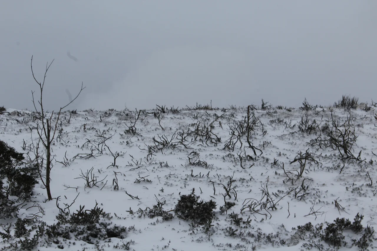
The pass is unforgiving twice a year. In winter, snow and ice close the road regularly - sometimes for days. The Clwydian Range catches whatever the Irish Sea throws at it, and the gradients turn dangerous fast. In summer 2018, the threat ran in the other direction: wildfires broke out on 19 July and burned across the moorland for over two months, until late September, destroying 715 acres of upland habitat. Heather and peat smoulder slowly, and the scars were visible for years. In 2022 the local councillors, after a long campaign, secured a 40 mph speed limit - both for the safety of cyclists and to slow the worst of the weekend traffic on a road that was never designed for modern cars.
The View from the Top
Stop at the summit and the landscape arranges itself like a relief map. To the south, the Vale of Llangollen falls away to the River Dee. To the south-east, the Eglwyseg Rocks - a limestone escarpment that runs from World's End down towards Castell Dinas Bran - catch the afternoon light in pale grey terraces. To the north, the moor rolls towards Ruthin. Telford's old Holyhead Road, the A5, lies somewhere down in the haze to the south, a different engineering philosophy heading the same general direction. The pass itself is older than most of what surrounds it - drovers used a track over this saddle long before the turnpike was built - but the 1811 road is what gave it a name in English and a place on every Sunday-driver's mental map.
From the Air
Horseshoe Pass tops out at 417 metres at 53.01 degrees north, 3.22 degrees west, in the Clwydian Range north of Llangollen. From the air the great horseshoe curve of the A542 is striking against the moor; the limestone Eglwyseg escarpment to the south-east is the other clear landmark. Maintain at least 5,000 feet for safe terrain clearance over the Clwydian and Berwyn hills; mountain wave and rotor are possible in westerly winds. Hawarden (EGNR) lies about 20 nautical miles east-north-east. Weather closes in fast from the west.
Nearby Stories
- Helsby 2.9 km away
- Coton Hill Rail Crash 4.4 km away
- Blaenau Ffestiniog 4.8 km away
- Holywell 7.9 km away
- Battle of Maes Moydog 9.6 km away
- PS Rothsay Castle 12 km away
- Barmouth Bridge 12 km away
- Combermere Abbey 13 km away