
Isalo National Park
From the grassy plains of southern Madagascar, the Isalo massif rises like the wreckage of a vast stone city. Wind and water have spent a hundred million years carving its sandstone into flat-topped buttes, narrow gorges, and jagged spires so suggestive of crumbling architecture that geologists named them "ruiniforms," from the French for ruin. Travelers reach for an easier comparison and call the whole place the Colorado of Madagascar. The rock glows ochre and rose at sunset, slashed by canyons that plunge as much as 200 meters into shadow - and at the bottom of those canyons, fed by springs, run threads of green forest and pools of startlingly cold, clear water.
Stone Laid Down by Lost Rivers
The massif is a page torn from deep time. Its sandstone belongs to the Isalo Group, a formation up to 6,000 meters thick, laid down between the Triassic and early Jurassic periods - roughly 180 million years ago - by braided streams that wandered across an ancient landscape long before this was an island. Those vanished rivers dropped layer upon layer of coarse sand, which hardened into stone and then, over eons, surrendered to the patient knives of wind and rain. The result is a sculpture garden of domes, mesas, and dissected outcrops, part of the southern Morondava Basin. Stand among the ruiniforms at dawn and you are reading a story written by water that dried up before the first dinosaurs grew large.
Life in the Cracks
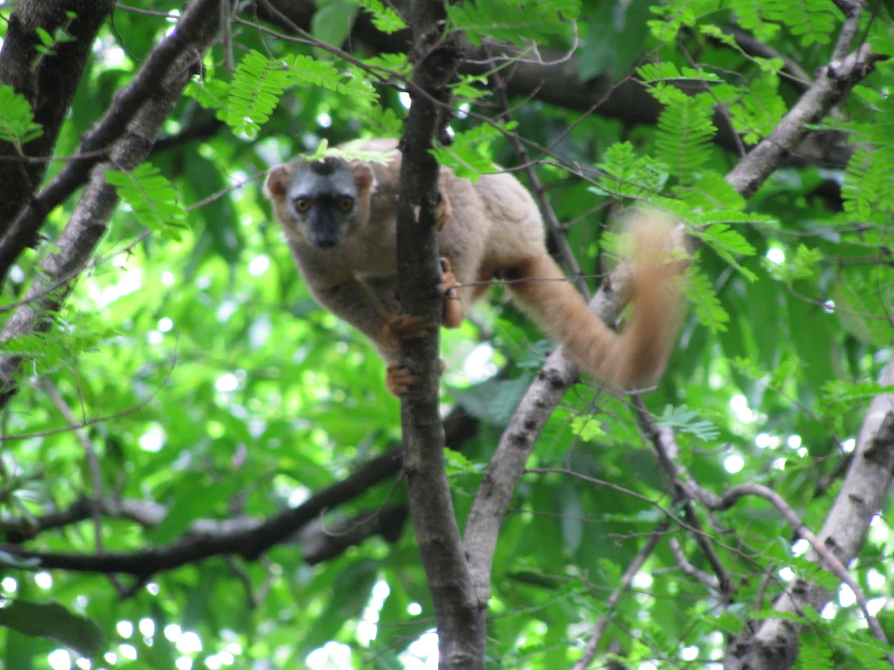
Isalo looks parched, and much of it is - hot, dry, dominated by grasslands and the gnarled, fire-adapted tapia tree that grows nowhere but Madagascar's highlands. Yet the canyons hide a different world. Where springs surface, palms and humid forest cling to the walls, sheltering ring-tailed lemurs that pose on warm rock and Verreaux's sifakas that cross open ground in their famous sideways bounds. By night the red-tailed sportive lemur and the gray mouse lemur emerge. On the bare rock itself grow oddities like the elephant's foot, a swollen-stemmed Pachypodium, and aloes found only here. More than a hundred bird species have been recorded, among them Benson's rock thrush, a bird closely tied to these cliffs. Six lemur species share the massif's contradictory landscape of furnace-dry ridge and cool green ravine, while fourteen mammal species in all have been documented in the park.
A Sacred Land of the Bara
Long before it was a park, this was the country of the Bara, a cattle-herding people whose lives turn around zebu, the humped cattle that are wealth, ritual, and identity across much of Madagascar. The massif holds their dead. Tucked into cliff faces and crevices are Bara burial sites, and older tombs of the Sakalava who came before - the rock serving as both fortress and sepulchre. To walk Isalo's canyons is to move through a landscape that is sacred as well as scenic, where the silence of the high stone carries weight. A guide drawn from the local community is required to enter, and the trails range from a few hours' walk to expeditions of a week or more.
Fire and the Fragile Balance
Isalo was established as a national park in 1962 and has been managed by Madagascar National Parks since 1997, but protection has not settled its central tension. Across this part of Madagascar, herders burn the land to flush green grass for cattle, and illegal fires set inside the park are its chief threat - each one nibbling back the forest and pushing the grasslands wider. Many of the "natural" pseudo-steppes here are really the legacy of generations of burning, which prevents trees from returning. The park's celebrated natural swimming pools - cold canyon water gathered in stone basins, beloved by trekkers escaping the heat - depend on the very forests the fires erode. Isalo's drama is geological, but its future is a daily negotiation between cattle, fire, and the canyons' hidden green.
From the Air
Isalo National Park lies in south-central Madagascar at 22.44 degrees south, 45.29 degrees east, in the Ihorombe region near the town of Ranohira. From altitude the massif reads as a raised, rust-colored block of dissected sandstone - flat-topped plateaus and deep canyons - standing out sharply from the surrounding grassy plains; elevations across the park range from about 510 meters up over 1,200 meters. A small airstrip serves Ranohira (ICAO: FMSO) at the park's edge, while the nearest substantial airport is Toliara (Tulear) Airport (ICAO: FMST) roughly 240 km to the southwest. Best viewed at 3,000-6,000 feet to appreciate the canyon depth and ruiniform formations; the climate is hot and dry, with the clearest skies in the cooler dry season and heavy rains possible from roughly November to March.
Nearby Stories
- Ilakaka 3.5 km away
- Analavelona 50 km away
- Aloalo 84 km away
- Makay Massif 91 km away
- Anja Community Reserve 122 km away
- Andringitra National Park 124 km away
- Velondriake 146 km away
- Anosy 170 km away