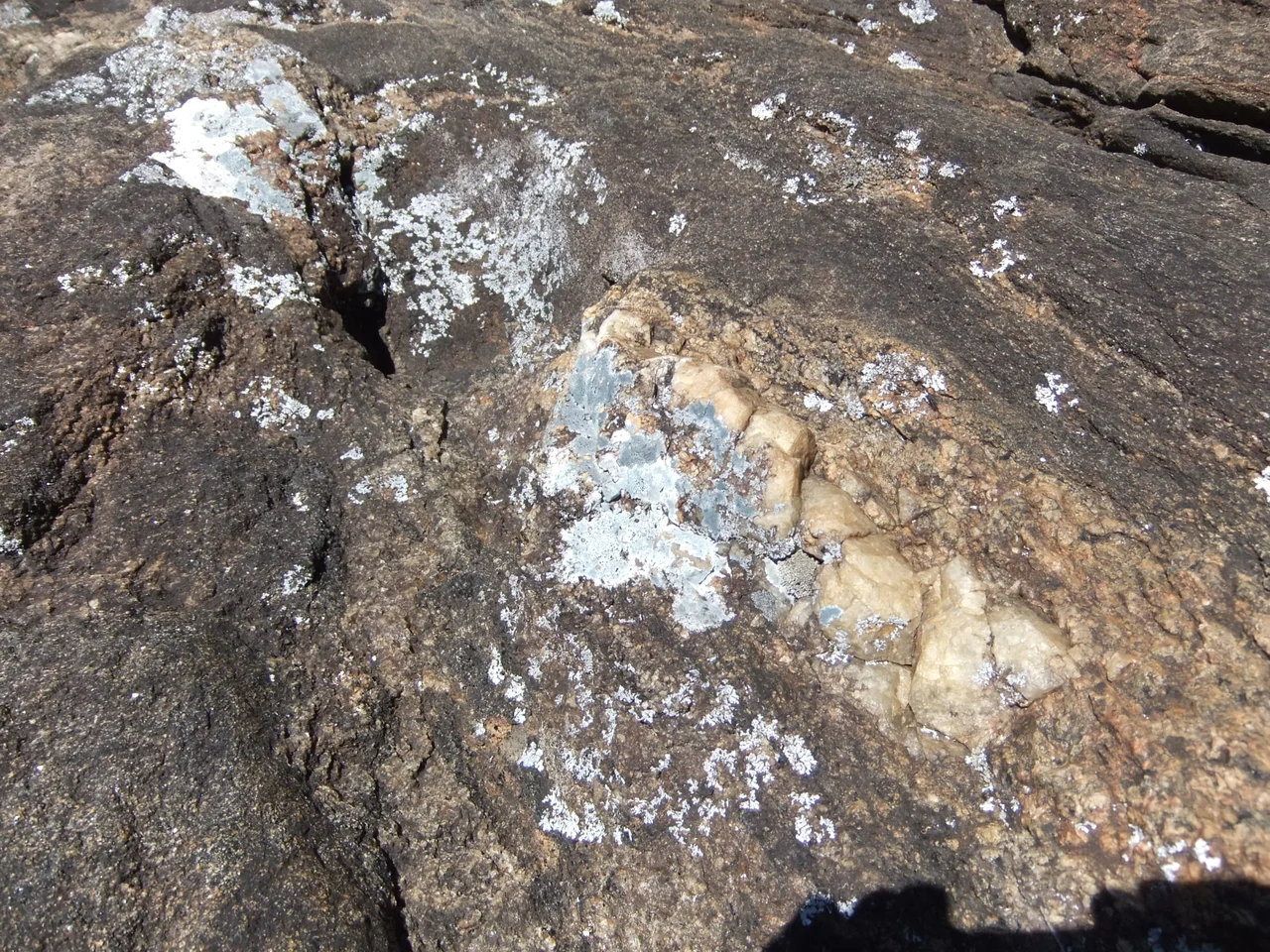

Andringitra National Park
Snow is not supposed to fall in Madagascar. Yet on the high granite shoulders of Andringitra, a few times each decade, it does. This is the coldest place in the country, where the thermometer has dropped to roughly minus eight degrees Celsius and the dawn frost crusts the tussock grass into something that looks borrowed from the Scottish Highlands. Forty-seven kilometers south of the town of Ambalavao, the Andringitra massif heaves out of the surrounding plains like a wall, its bare grey domes and pinnacles catching the first light long before the lowlands wake.
The Roof of the South
The park's crown is Imarivolanitra, the peak long known to climbers as Pic Boby. At 2,658 meters it is the second-highest mountain in Madagascar, a hump of weathered granite reached by one of the great walks in the Indian Ocean. The classic route climbs from rainforest at around 700 meters through cloud forest and onto open alpine moorland, a three-day traverse that crosses ecosystems most travelers would have to fly between continents to see. Reaching the summit means sleeping at least one night at altitude, where the cold bites hard from April to September and the thermometer can fall below freezing for months at a stretch. The reward at the top is a view across a buckled landscape of valleys and ridges, the granite glowing pink at sunrise and the lowlands spread out far below like a relief map. Few summits anywhere ask so little technical skill and give back so much.
One Mountain, Many Climates
Andringitra is a study in vertical extremes. The reserve spans some 31,160 hectares and climbs nearly two kilometers from base to peak, and the climate shifts with every few hundred meters of elevation. Rainforest cloaks the eastern slopes, where mean annual rainfall reaches around 1,500 millimeters and water feeds the Ampanasana, Iantara, Menarahaka, and Zomandao rivers that thread off the massif. Higher up, the trees thin into heathland and bare rock scoured by wind and frost. The dramatic squeeze of so many habitats into so small a footprint is why the park shelters such a dense tangle of life, from lemurs in the canopy to plants that grow nowhere else on Earth.
Living on the Granite
People share these slopes, and they have divided the mountain among themselves with a logic refined over generations. In the south and west, the Bara herd zebu cattle across the savannah, the valleys, and the high ridges, following grass and water the way their ancestors did. To the east, the Bara Haronga grow rice. On the northern flanks, the Betsileo have carved an intricate system of irrigated terraces into the steep ground, coaxing paddies out of land that looks too sheer to farm. For all three peoples the mountain is more than scenery; it is pasture, field, and the home of ancestors whose graves are tended on its slopes. Each community reads the same granite differently, and together they make Andringitra a place where conservation and human life are braided rather than separated, a model increasingly held up as the way protected areas should work.
From Reserve to World Heritage
Outsiders noticed Andringitra's importance early. Explorers remarked on it in the first decades of the twentieth century, and in 1927 the central range was set aside as a strict nature reserve. Real change came in the 1990s, when the Malagasy Environmental Action Plan shifted ownership of conservation from foreign donors to Madagascar itself. The area became a full national park in 1999, managed by Madagascar National Parks. In 2007 it joined the Rainforests of the Atsinanana, a cluster of six parks inscribed together on the UNESCO World Heritage List for sheltering species found nowhere else after the island's hundred-million-year isolation.
From the Air
Andringitra National Park sits at roughly 22.19 degrees south, 46.88 degrees east, in south-central Madagascar's highlands. The granite domes and the bare summit of Pic Boby (2,658 m) are the standout visual landmarks, rising sharply from surrounding plains and savannah; in winter, frost or rare snow may dust the high ground. A viewing altitude of 8,000 to 12,000 feet AGL frames the massif well against the lowlands. The nearest airfield is Fianarantsoa Airport (ICAO: FMSF), about 100 km north; Ihosy Airport (ICAO: FMSI) lies to the southwest. High terrain and rapidly building afternoon cloud over the peaks call for caution; clear, stable morning air gives the best light and visibility.
Nearby Stories
- Ambalavao 15 km away
- Canal des Pangalanes 51 km away
- Teniky 113 km away
- Ilakaka 124 km away
- Makay Massif 147 km away
- Anosy 189 km away
- Moramanga 283 km away
- Mantasoa 360 km away