
Moramanga
On the night of 29 March 1947, the revolt that would shake French Madagascar to its foundations began here, in a railway town on the plateau between the central highlands and the eastern coast. Moramanga is a quiet crossroads now, a stop where the road from Antananarivo meets the line to Lake Alaotra, but its name carries one of the heaviest memories on the island. The town holds a memorial of graves and painted walls dedicated to the victims of the uprising, and to understand why it sits at the center of Malagasy national memory, you have to know what happened in and around its rail yard.
The Night the Revolt Began
Madagascar had been a French colony for half a century, and by 1947 the pressure for independence had hardened into organized politics and, that March, into armed rebellion. The first attacks broke out at Moramanga on the night of 29 March 1947. What followed across the island over the next year was a colonial counter-insurgency of brutal severity. The French army, operating under High Commissioner Pierre de Chevigné who took command in February 1948, carried out mass executions, torture, and the burning of villages, tactics meant to terrorize the rural population into submission. The toll has never been settled. France's revised 1950 official figure was 11,342 known dead; historian Jean Fremigacci estimated 30,000 to 40,000 deaths in total, counting those who died of hunger and disease while fleeing the fighting; and Malagasy historians and some French scholars have put the true figure at up to 89,000, possibly more. By any count, it was among the deadliest episodes of French colonial rule in Africa.
The Wagons at Moramanga
The town's name is bound to one atrocity in particular. On 6 May 1947, colonial soldiers turned their machine guns on Malagasy nationalist detainees who were being held inside railway wagons at Moramanga. Accounts of the dead range from roughly 124 to 160, most of them unarmed activists of the MDRM, the nationalist party the French were determined to crush. They were prisoners, packed into rolling stock, and they were shot where they were confined. The memorial in town, with its graves and its wall paintings, exists so that these people are remembered not as a footnote in a colonial dispatch but as the men they were. The painful history is told plainly here, because forgetting it was once the official policy.
Crossroads and Railway Junction
Geography made Moramanga matter long before 1947 and still defines it. The town sits on a plateau where the RN2 runs between Antananarivo, about 115 kilometers west, and the great port of Toamasina on the coast. It is also where the eastern main line meets the branch to Lake Alaotra, making it, the capital aside, the only railway junction in the country. That role as a hinge between the interior and the sea is part of why the rebellion ignited here and why the rail yard became a place of killing. It is also the historic capital of the Bezanozano, one of Madagascar's eighteen recognized ethnic groups.
The Forest of the Singing Lemur
Moramanga is also the gateway to one of Madagascar's natural wonders. A short drive east along the RN2 brings you to the Andasibe-Mantadia rainforest, a band of moist montane forest that protects the indri, the largest of all living lemurs. Standing nearly a meter tall, with black-and-white markings and a startled, almost human face, the indri does something no other lemur does: it sings. Its eerie, wailing call, somewhere between whale song and a siren, carries up to three kilometers through the canopy as family groups answer one another across the trees. For many travelers, hearing it at dawn is the reason to stop in Moramanga at all.
The Town Today
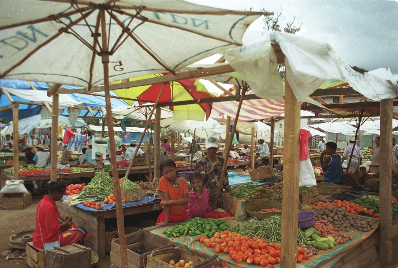
Modern Moramanga is a market town of around sixty thousand people, with a museum of the gendarmerie in its center and the country's only armament factory nearby at Ambohibary. The huge Ambatovy nickel and cobalt mine, Madagascar's largest, operates just to the north, drawing workers and traffic through the junction. None of that erases the memorial and its graves. The town carries its history without being trapped by it, a place where schoolchildren, market vendors, and miners pass daily by the walls painted in memory of the dead of 1947. Honoring that memory, plainly and without flinching, is part of what Moramanga is for.
From the Air
Moramanga lies at roughly 19.58 degrees south, 48.38 degrees east, on a plateau between Madagascar's central highlands and east coast, about 115 km east of Antananarivo along the RN2. From the air, look for the town at the junction of the RN2 highway and the rail lines, with the Andasibe-Mantadia rainforest corridor rising to the east and northeast. The nearest major airport is Ivato International (ICAO: FMMI) serving Antananarivo to the west. The eastern escarpment draws heavy moisture, so expect frequent cloud, mist, and rain over the nearby rainforest; recommended viewing altitude for the town and forest corridor is 3,000 to 6,000 feet AGL, weather permitting.
Nearby Stories
- Merina Kingdom 55 km away
- Ambatovy mine 55 km away
- French Madagascar 80 km away
- Antsirabe 82 km away
- Ambositra 135 km away
- Toamasina 143 km away
- Battle of Tamatave 174 km away
- Réunion's Coral Reef 676 km away