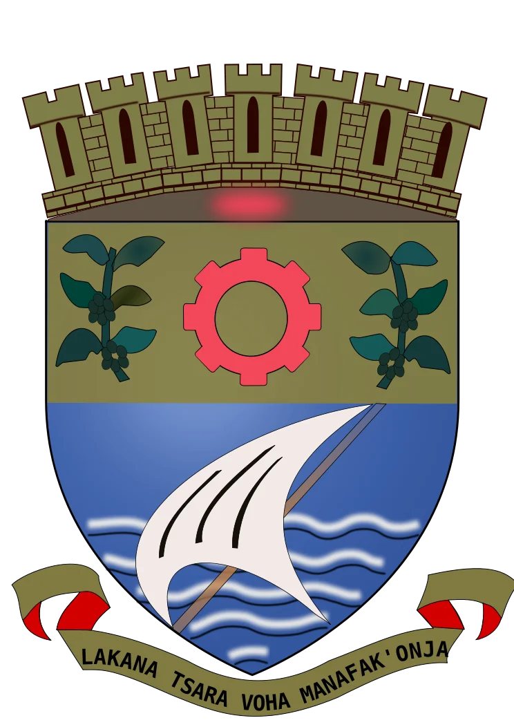

Toamasina
Almost everything Madagascar buys from the world, and most of what it sells, moves through one city on a sandy spit of the eastern coast. Toamasina - Tamatave to the French and to most of the world for a century - is the island's chief seaport, the place where container ships queue offshore and the railway from the capital finally runs out of land. The name itself is debated: many say it means like salt, or salty, as if the city were named for the taste of the sea that defines it. Older charts called it Port aux Prunes, the Plum Port. By whatever name, this has been Madagascar's door to the Indian Ocean for centuries, and roughly 326,000 people now live where that door swings.
A Harbour Made of Coral
Toamasina exists because of a reef. A coral barrier offshore breaks the open swell of the Indian Ocean and forms a spacious natural harbour, entered through two gaps in the living rock - a sheltered anchorage on a coast that offers few. The city itself sits on a low, sandy peninsula that juts out at a right angle from the shoreline, water on nearly every side. That geography was the city's making. It is why traders gathered here from at least the 17th century, why the Merina king Radama I seized the port in 1817 to bind the east coast to his expanding kingdom, and why the French, when they made Madagascar a colony in 1896, confirmed Tamatave as the principal gateway of the island. Geography handed Toamasina its entire reason to exist, and it has never let go of it.
The Cost of the Coast
Life at this crossroads was never easy. Under French rule, the wharves shipped out gold dust, raffia, hides, and caoutchouc - natural rubber tapped from the forests inland - while steamers of the Messageries Maritimes linked the port to Europe, to Mauritius, and on toward Sri Lanka. But the same low, marshy, crowded ground that made trade possible made the town sick. Plague broke out in 1898 and returned in 1900, and even after the surrounding marshes were drained, malaria and mosquito-borne fevers like chikungunya lingered. The botanist and explorer Andre Michaux, who had collected plants from Persia to the Carolinas, died here in 1802 while chasing the island's flora - one more life given to a coast that took many before the causes were understood.
Where the Rails Meet the Sea
Toamasina is the end of the line, in the most literal sense. The railway from Antananarivo descends the eastern escarpment and terminates here at the water, handing its freight to the ships. It is also the northern mouth of the Canal des Pangalanes, an extraordinary chain of natural lagoons and dug channels running for hundreds of kilometres down the coast behind the dunes, a sheltered inland waterway that has carried goods and people for generations. Within the city, movement takes humbler forms: pousse-pousse, the bicycle rickshaws, and tuk-tuks weave through streets that bear the layered names of Malagasy neighbourhoods and French institutions. The port today handles the overwhelming majority of Madagascar's container traffic - the single most important link between an island nation and everywhere else.
The Eastern Capital
For all that it is a working port, Toamasina is also a regional capital with a life of its own. It anchors the Atsinanana region, hosts the University of Toamasina founded in 1977, and fills the 25,000 seats of the Barikadimy Stadium for football. The faiths of the coast stand side by side - the Catholic cathedral of St. Joseph, Lutheran and Protestant churches that trace back to missionary centuries, and the mosques of a long-established Muslim community. South of town, the Ivondro River empties into the ocean; offshore, the lighthouse of the Ile aux Prunes still marks the approach. North along the coast, the road runs toward the old pirate waters of Ile Sainte-Marie. Toamasina is hot and wet nearly year-round, a true rainforest climate with no real dry season - a steaming, salt-tinged, trade-worn city that has always faced the sea.
From the Air
Toamasina sits at 18.16 degrees south, 49.41 degrees east, on Madagascar's east coast at sea level. From the air it is easy to identify: a city on a low sandy peninsula projecting at right angles from the coastline, fronted by an offshore coral reef and harbour, with the Ivondro River mouth just to the south. The city is served directly by Toamasina Airport (ICAO: FMMT); the national gateway, Antananarivo's Ivato International (ICAO: FMMI), lies about 215 km to the west across the escarpment. The Canal des Pangalanes threads south behind the coastal dunes as a string of lagoons. Expect humid, frequently rainy conditions - this is a trade-wind tropical rainforest climate with the wettest months from February to April and the clearest skies from September to November. Recommended viewing altitude 3,000-5,000 feet to take in the reef, harbour, and peninsula together.
Nearby Stories
- Zahamena National Park 37 km away
- Andasibe-Mantadia National Park 60 km away
- Lake Alaotra 86 km away
- HMS Serapis (1779) 114 km away
- Ambatovy mine 123 km away
- Masoala National Park: Madagascar's Largest Wild Shore 255 km away
- Sambava 437 km away
- Battle of Reunion 626 km away