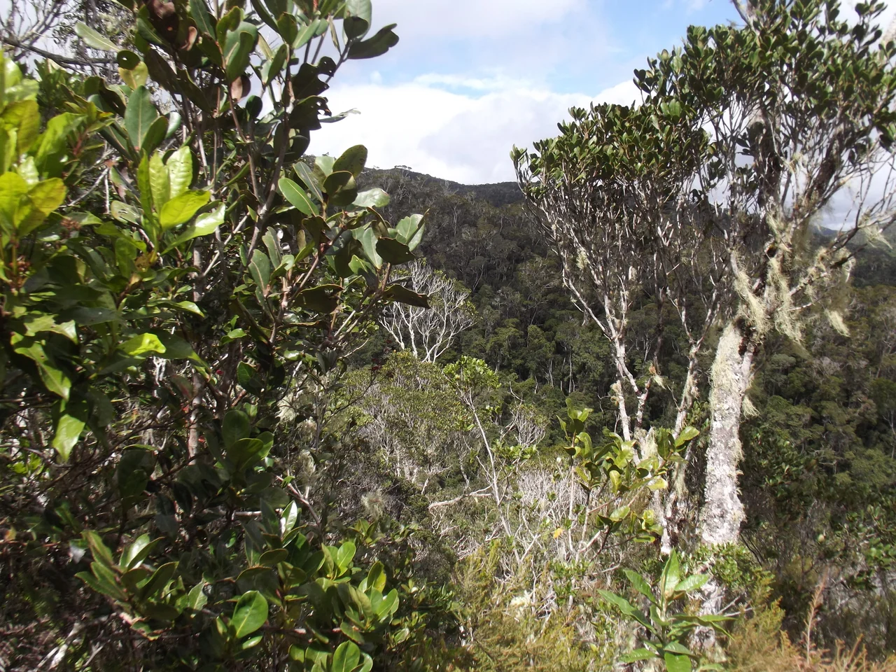

Andasibe-Mantadia National Park
Just after dawn, a sound rises out of the dripping canopy that does not seem to belong to an animal at all. It wails, swoops, holds a note, then breaks - a chorus closer to whale song or a siren than to anything mammalian. This is the indri calling, and once you have heard it you understand why the Malagasy treat the creature with reverence. Andasibe-Mantadia National Park protects 155 square kilometres of humid, mountainous rainforest in eastern Madagascar's Alaotra-Mangoro region, where rain falls on 210 days of the year and the indri - the largest of all living lemurs - announces the morning to a forest that has been shrinking around it for a century.
The Singing Lemur
The indri is built on a scale no other lemur reaches: up to 9.5 kilograms, with a body that can stretch past 70 centimetres, a stub of a tail, and a black-and-white coat that the Betsimisaraka people read as a creature half-clothed in mourning. The Malagasy name it babakoto, and many local traditions hold it as an ancestor not to be hunted. Its real fame is its voice. Produced through a throat air sac, the indri's long call can carry two to four kilometres through the trees, a territorial broadcast that families fling back and forth across the valleys at first light. The species is critically endangered and does not survive in captivity, which means the forest at Andasibe is one of the few places on Earth where that song can still be heard at all.
A Forest Cut Into Islands
The park comes in two pieces, and the gap between them tells a story of loss. The smaller, easier-to-reach half is the Analamazaotra Reserve - long known by its colonial railway name, Perinet, and to locals as Andasibe after the nearby village. The larger, wilder half is Mantadia, reached only by arranged transport over rough track. Both were once part of a single continuous forest that also embraced the Maromizaha and Anosibe an'ala woods to the south and east. Logging and the clearing of land for farming severed those connections, leaving the protected forest stranded as islands in a sea of cleared hills, eucalyptus, and pine. The eleven lemur species that remain here, from the indri to the diademed sifaka to the nocturnal aye-aye, now live in a habitat measured by what is left rather than what once was.
Bringing Lemurs Home
Conservation here is not passive. In 2006, the Madagascar Biodiversity Partnership joined with Omaha's Henry Doorly Zoo and Aquarium, Madagascar National Parks, and the national forestry service to launch a translocation project at Analamazaotra. The logic was stark: in pockets of forest too small or too degraded to sustain them, lemur families faced a slow death, so teams captured whole family groups and carried them to the relative safety of the reserve. Following international guidelines, biologists monitored each group before and after the move, watching to see whether transplanted lemurs would settle, breed, and hold territory. The work runs alongside efforts to give nearby villages a stake in the living forest - to make a standing rainforest worth more than the farmland that might replace it.
Walking Into the Green
Of all Madagascar's great reserves, this is the one most travellers actually reach. A three-hour drive east of the capital on the paved Route Nationale 2 delivers you to the forest edge, where a local guide - required for entry - leads you in on trails that range from an hour's stroll to a six-hour push. The air is thick and cool, the canopy rises to eight hundred metres or higher, and chameleons cling to branches at eye level. But people come for the listening as much as the looking. Guides stop, hold up a hand, and wait. Somewhere ahead, a family of indri draws breath, and the whole forest seems to pause with them before the wail begins again.
From the Air
Andasibe-Mantadia lies at 18.83 degrees south, 48.45 degrees east, in the mountainous spine of eastern Madagascar, with terrain rising from 800 to 1,260 metres. From the air it reads as a band of dark, intact rainforest hemmed by paler cleared hills and the thread of the RN 2 highway. The nearest major airport is Antananarivo's Ivato International (ICAO: FMMI), roughly 110 km west; Toamasina Airport (ICAO: FMMT) lies to the east on the coast. Expect frequent cloud, mist, and rain - this is one of the wettest corners of the island, clearest in the September-November dry window. Recommended viewing altitude 7,000-9,000 feet to read the forest-farmland mosaic against the highland ridges.
Nearby Stories
- Merina Kingdom 30 km away
- Moramanga 47 km away
- Toamasina 78 km away
- Battle of Tamatave 107 km away
- Antsirabe 113 km away
- Zahamena National Park 123 km away
- Ankarafantsika National Park 291 km away
- Réunion's Coral Reef 697 km away