
Canal des Pangalanes
Run your finger down the eastern edge of Madagascar on a map and you trace a nearly unbroken line of water, hugging the coast just inland from the surf. This is the Canal des Pangalanes: not a single dug trench but a chain of natural lagoons, rivers, and human-made cuts linked end to end for more than 654 kilometers, from the port of Toamasina in the north to Farafangana in the south. For much of its length, only a thin strip of sand and palm separates the calm canal water from the pounding Indian Ocean - a sheltered inland route shadowing one of the most dangerous coastlines in the western Indian Ocean.
A Sheltered Road Through the Surf
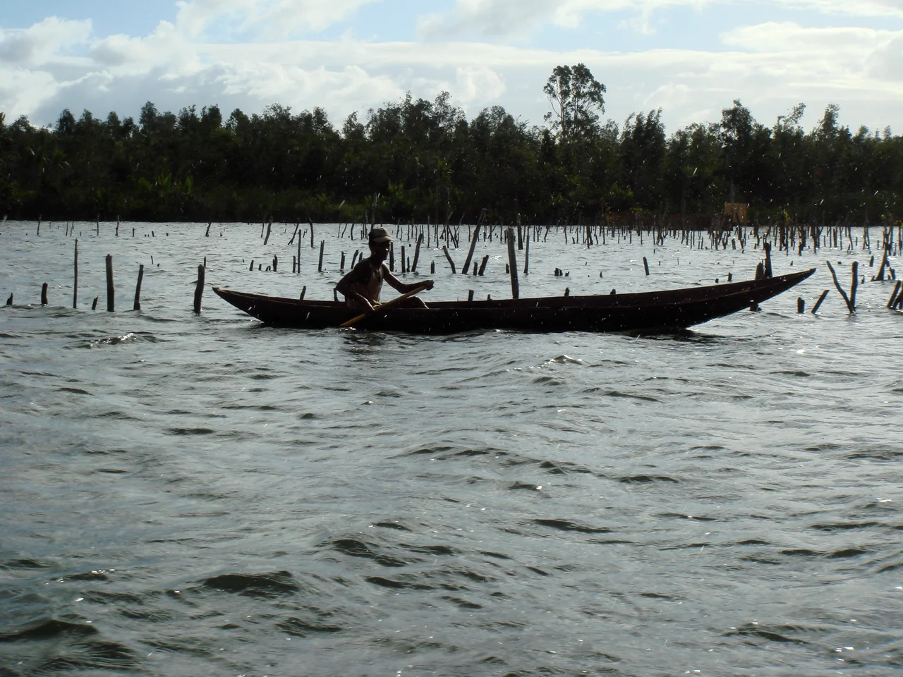
The genius of the Pangalanes is what it avoids. Madagascar's east coast is a near-continuous wall of breakers, with few safe harbors and a heavy ocean swell that has wrecked countless boats. By connecting the strings of coastal lagoons that already lay parallel to the shore, the canal created a protected highway where cargo and passengers could move without ever risking the open sea. Pirogues - dugout canoes - still glide along it, poled by boatmen carrying produce, charcoal, and travelers between villages that the road network barely reaches. In places the water widens into broad lakes; in others it narrows to a corridor walled by reeds and forest, the ocean's roar audible just beyond the dunes.
Gallieni's Waterway
The canal as a connected system is a product of empire. Between 1896 and 1904, during the French colonial period, the work was driven by Governor-General Joseph Gallieni, the soldier-administrator who oversaw France's consolidation of the island. The aim was practical and military: to move trade, supply troops stationed inland, and give cargo bound for Toamasina a safe alternative to the treacherous coast. The labor of linking lagoon to lagoon, of cutting channels through the sandbars, was immense - the unglamorous, back-breaking work of colonial infrastructure. By the early twentieth century, an uninterrupted waterway threaded much of the eastern littoral, and the name Pangalanes stuck to the whole length of it.
Decline, Revival, and the Slime
Waterways live or die by use, and as roads and other transport drew traffic away, the canal silted and stagnated. A major project in the 1980s restored and renovated long stretches, reopening them to boats. Even so, the Pangalanes carries the marks of the modern world unevenly. South of Toamasina, an oil refinery has fouled one reach of the canal - the pollution betrayed by mats of water hyacinth, the invasive floating weed, coated in a grey film of slime. It is a vivid, unlovely reminder that this is no pristine wilderness corridor but a working landscape, threaded through industry, fishing villages, and farmland alike.
Bridges, Tolls, and Daily Life
The canal's improvisational character shows at its crossings. Where a typhoon wrecked one bridge near Mananjary, locals strung a makeshift bamboo span beneath the ruined structure - and they lift it aside to let boats pass only on payment of a fee, a small private toll levied on the waterway's traffic. This is the Pangalanes at its most human scale: not a monument but a piece of everyday infrastructure, patched and improvised and bargained over. Along its banks, some stretches open onto white sandy beaches, lagoons mirror the sky, and fishermen set their nets. The grand colonial scheme has long since become something humbler and more durable - a road of water that east-coast Madagascar simply lives along.
From the Air
The Canal des Pangalanes runs roughly north-south along Madagascar's east coast; this waypoint sits near its central reach at 22.80 degrees south, 47.83 degrees east, between Mananjary and Nosy Varika. From the air it is unmistakable: a continuous chain of elongated lagoons and channels paralleling the coastline, separated from the Indian Ocean by only a narrow sandbar studded with palms. The northern terminus is the port of Toamasina, served by Toamasina Airport (ICAO: FMMT); the southern end reaches Farafangana. Fly the corridor at 2,000-4,000 feet to follow the water's thread against the surf line. The east coast is wet and cyclone-prone from November to April, with frequent cloud and rain; the cooler dry months offer steadier visibility for tracing the canal's full length.
Nearby Stories
- Andringitra National Park 68 km away
- Ambalavao 116 km away
- Anja Community Reserve 138 km away
- Anosy 168 km away
- Tsitongambarika 211 km away
- Toamasina 492 km away
- Battle of Tamatave 523 km away
- French Western Australia 6454 km away