
John Muir Country Park
John Muir spent the first eleven years of his life in Dunbar, walking the beaches and clambering the cliffs of this stretch of Scottish coast before his family sailed for Wisconsin in 1849. The park that now bears his name is the landscape he left behind: 713.5 hectares of dune, salt marsh, beach, woodland, and estuary running eight miles from Peffer Sands to Dunbar Castle. There is a certain symmetry to it. The boy from Dunbar grew up to champion Yosemite and Sequoia, helped found the Sierra Club, and persuaded a US president to set aside whole mountain ranges. Then, a century later, his hometown set aside a piece of itself in his name.
Coast of a Future Naturalist
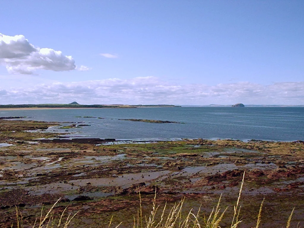
Designated on 12 October 1976, the park stretches along eight miles of the Firth of Forth shoreline at the eastern end of East Lothian. North Berwick Law rises to the west, Bass Rock sits offshore, and the estuary of the River Tyne empties into the firth roughly in the middle. The terrain shifts constantly: tidal mudflats give way to dune systems, dune systems to pine plantation, plantation to clifftop. This is the coast a young Muir explored on foot before North America entered his life. His later writing about wilderness, about the moral weight of wild places, carries the imprint of these tides and skies even when its subject is the High Sierra.
A Site of Rare Visitors
The Firth of Forth, including the park, holds two layered conservation designations. The whole firth is a Site of Special Scientific Interest and a Special Protection Area, recognizing its importance for waders and wildfowl that overwinter here in tens of thousands. A separate SSSI covers the coastline from Dunbar Castle to Winterfield, where the geology and geomorphology earn protection in their own right. The bird list is what brings serious watchers. American black duck, green heron, greater sandplover, and semipalmated sandpiper have all been recorded here, the kind of trans-Atlantic strays that turn up on a tideline like East Lothian's the way meteorites occasionally turn up on a Scottish hillside, by improbable accident.
Tyne Sands and Pine Woods
Walk the park east from Belhaven and the geography unfolds in distinct chambers. Belhaven Bay opens first, a wide curve of pale sand where the Biel Water meets the firth and gulls work the tideline. Beyond it the path enters Hedderwick Hill plantation, dark Scots pine with the smell of needles underfoot. Then the dunes of Tyne Sands open onto the Tyne estuary itself, where the river turns the colour of strong tea as it spills out of East Lothian's farmland. Wildfowling is still permitted on parts of the site, a reminder that this is a working coast as well as a protected one. Past the estuary, the path climbs toward the cliffs and the romantic ruin of Dunbar Castle, where Mary Queen of Scots once fled.
The Boy and the Mountains
Muir himself rarely returned to Scotland after his family emigrated, but he never stopped being a Scot. His prose carries the rhythm of the King James Bible his stern father drilled into him in Dunbar, and his stubbornness about wild places had something of the Covenanter in it. He died in 1914, four years before the National Park Service was founded in America, but his hand is on its founding charter. That Dunbar gave the world Muir, and that Muir gave the world the idea of the protected wild, makes this park more than a strip of dunes with a name attached. It is the loop closing: the place that made him, kept in roughly the state he would have recognized, because of what he later did somewhere else.
From the Air
John Muir Country Park stretches along the East Lothian coast at roughly 56.01N, 2.57W. From cruising altitude, look for the distinctive volcanic plug of Bass Rock standing white offshore (gannet colony plumage and guano) and the conical hill of North Berwick Law (613ft) inland. Edinburgh Airport (EGPH) is 25nm west-southwest; Dundee Airport (EGPN) sits 20nm north across the Firth of Forth. The Tyne estuary forms a distinctive dark serpentine cutting through the dunes near the park's eastern end. Best viewed at 2,000-4,000ft with good visibility.
Nearby Stories
- Leith 0.8 km away
- Crail 1.4 km away
- Falkland Palace 2.8 km away
- Peebles 8 km away
- Mellerstain House 9.9 km away
- Eyemouth Disaster 11 km away
- Battle of Homildon Hill 19 km away
- River Dee Ferryboat Disaster 99 km away