Keelung Islet
Local legend says a ghost named Shih-Yun still wanders Keelung Islet, mourning a husband lost to shipwreck centuries ago. The story feels apt for a place that has spent most of its modern history closed to the living. This volcanic remnant, rising 182 meters from the sea about five kilometers off the Port of Keelung, has served as a sacred site, a military training base, and a tourist destination, though the last role keeps getting interrupted by typhoons that seem personally offended by the island's infrastructure.
A Volcano's Stubborn Remains
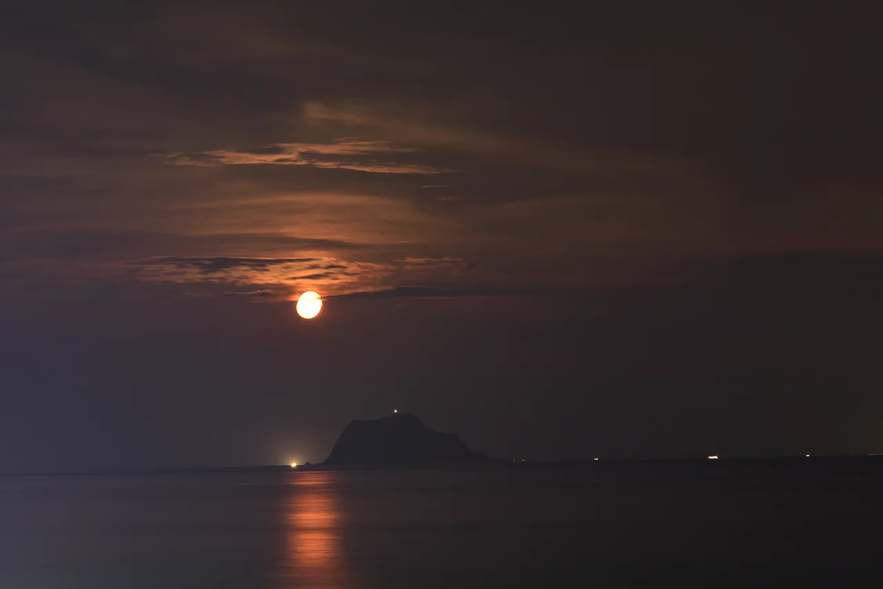
Keelung Islet is a Pleistocene volcanic formation, a remnant of the same geological forces that pushed the mountains of northern Taiwan out of the ocean floor. The island measures 910 meters in length and 410 meters at its widest point, including the artificial harbor. Its highest point reaches 182 meters above sea level, a steep and compact mass of rock that appears to thrust straight out of the water. In Taiwanese Hokkien, the island is called Ke-lang-khit, and its silhouette is one of the most recognizable landmarks along Taiwan's northern coast. From the air, it reads as a dark, jagged tooth breaking the surface of an otherwise flat sea.
From Sacred Ground to Military Zone
For centuries, the islet held a kind of spiritual no-man's-land status among the people of Keelung. The legend of Shih-Yun, the grieving ghost, kept casual visitors away. In more practical terms, the island's steep terrain and lack of fresh water made permanent settlement impractical. The modern era brought a different kind of exclusion. The military claimed the islet as a training base, and for decades it was off-limits to civilians entirely. That changed in 2001, when authorities opened the island to tourists. Ferry services began running daily from the Port of Keelung, and visitors could walk a constructed path around the island, taking in views of the coast and the rich fishing waters that surround it.
The Typhoon Cycle
Nature has proven a more formidable gatekeeper than either ghosts or the military. In 2013, Typhoon Soulik battered the islet's infrastructure badly enough to force its closure. Before repairs could be completed, Typhoon Soudelor struck in 2015, compounding the damage. The island remained shut to the public for years. In July 2017, the Keelung City Government allocated NT$82 million for repairs and renovation. A planned reopening in August 2018 was delayed. Then delayed again. Finally, on June 25, 2019, after a five-year closure, Keelung Islet welcomed tourists back. The pattern reveals something about the island's fundamental character: it exists on the edge, exposed to the full force of the Pacific, and any human foothold there requires constant maintenance against the sea and sky.
The Fisherman's Beacon
Beyond tourism, Keelung Islet plays an important economic role for the local fishing industry. The waters surrounding the island attract large concentrations of fish, making it a productive fishing ground. Boats from Badouzi, Bisha, and Keelung ports work the area regularly. The island itself is accessible by ferry from all three harbors, a practical hub in a working maritime landscape. For fishermen navigating the waters off northern Taiwan, the islet's distinctive profile has served as a natural waypoint for generations, long before GPS replaced dead reckoning and landmarks replaced by coordinates on a screen.
From the Air
Located at 25.1922N, 121.7856E, approximately 5 km northeast of the Port of Keelung in northern Taiwan. The islet is a conspicuous volcanic formation rising 182 meters from the sea, unmistakable from the air. Best viewed at 1,000-3,000 feet for the dramatic profile against the ocean. Nearest airport is Taipei Songshan (RCSS), about 22 nm southwest. Ferry routes from Badouzi and Bisha fishing ports are visible in good weather. Northern Taiwan coast frequently experiences low visibility from October through March.
Nearby Stories
- Matsu New Village 5.9 km away
- Lanyang Museum 10 km away
- Singapore Airlines Flight 006 17 km away
- North Jiangsu Main Irrigation Canal 963 km away
- Sinking of MV Sewol 1031 km away
- General Cliff Rock Paintings 1039 km away
- Yellow Sea 1089 km away
- Sibuyan Island 1395 km away